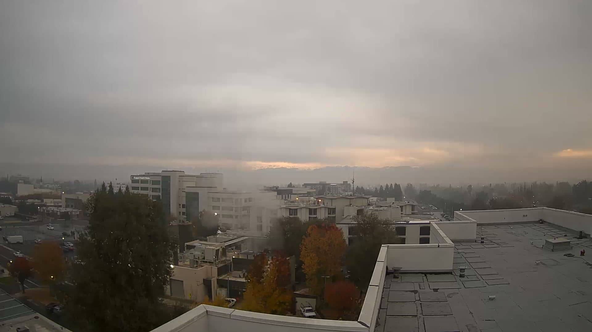
Visalia
California, United States — 45 km
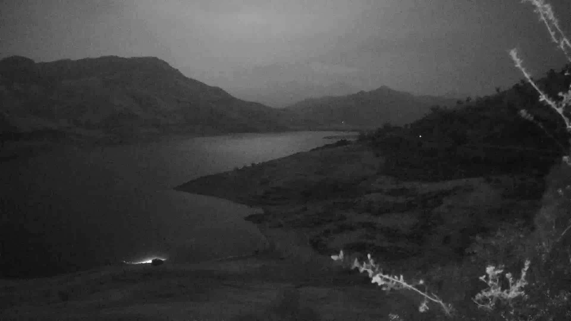
🇺🇸 California · United States — Altitude 514 m
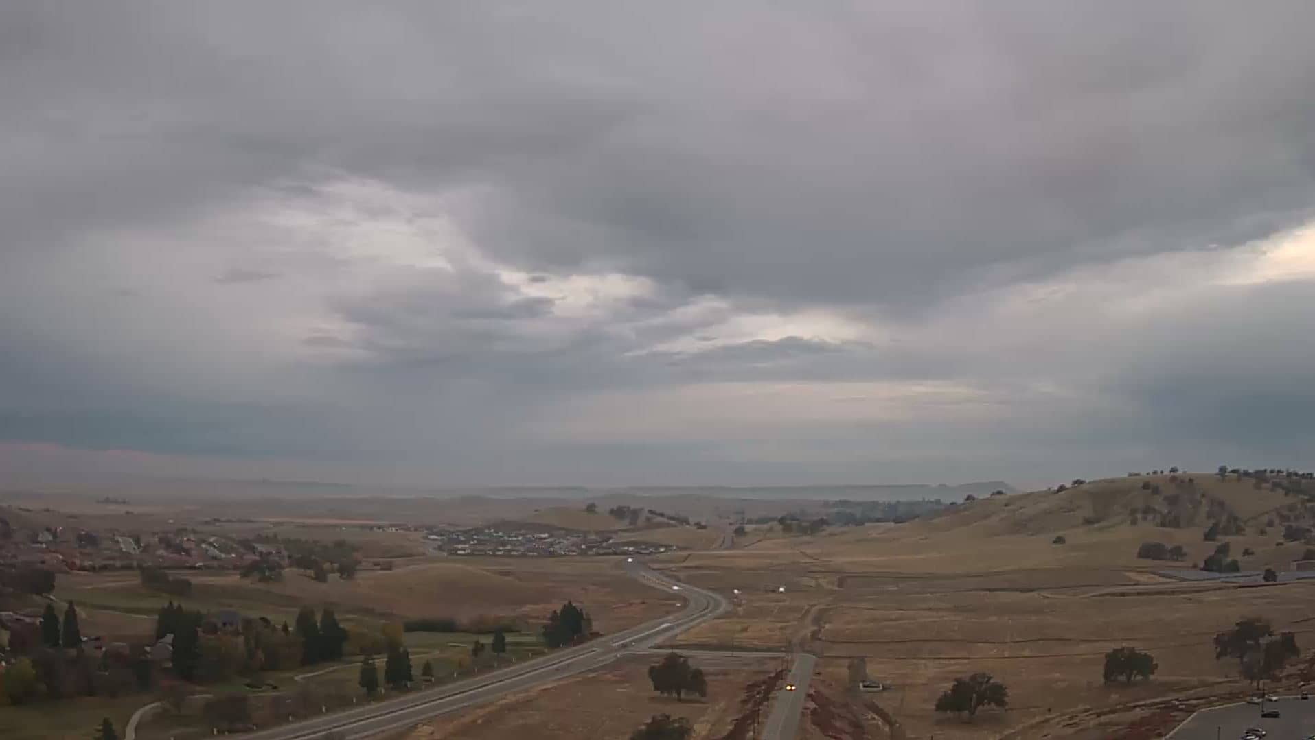
This live stream looks out over Three Rivers, a small foothill town in the Sierra Nevada where the Kaweah River emerges from the mountains. It is a practical window for anyone planning a trip toward Sequoia National Park or simply curious about conditions in this part of the San Joaquin Valley edge.
Three Rivers sits at roughly 500 metres above sea level, where the flat farmland of the Central Valley gives way to oak-covered hills and granite slopes. It is best known as the main access point to Sequoia National Park, home to some of the largest trees on Earth. The surrounding landscape is dry and golden for much of the year, with river canyons cutting through the foothills and the high Sierra rising to the east.
Because the town lies in a valley below the mountains, light and weather can change quickly. Mornings are often calm and clear, while afternoons may bring heat or, in some seasons, afternoon clouds building over the peaks. Spring, when the river runs higher with snowmelt, and late autumn, when temperatures soften, are common times people check the view. Depending on the angle of the camera, you may see the town streets, surrounding hills or sky conditions.
Summers are hot and dry, often well above 30 °C, while winters are mild with occasional cold nights and rain. Spring and autumn are generally the most comfortable times to visit. Nearby cameras in the region include Visalia, Tulare, Kingsburg and Prather, which can help you compare conditions across the valley.
Source: Sequoia Park Webcam
California, United States — 45 km
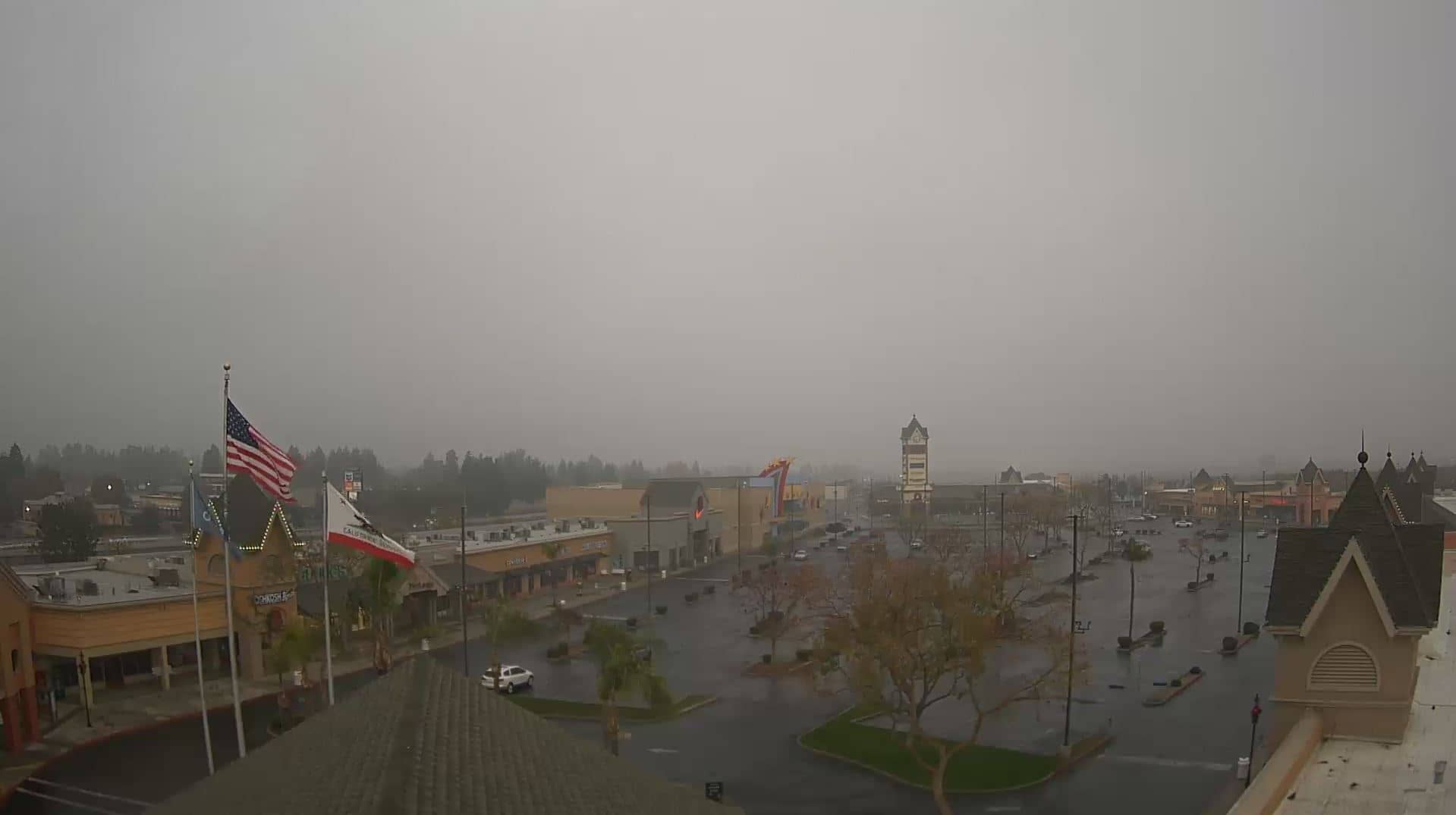
California, United States — 56 km
California, United States — 65 km
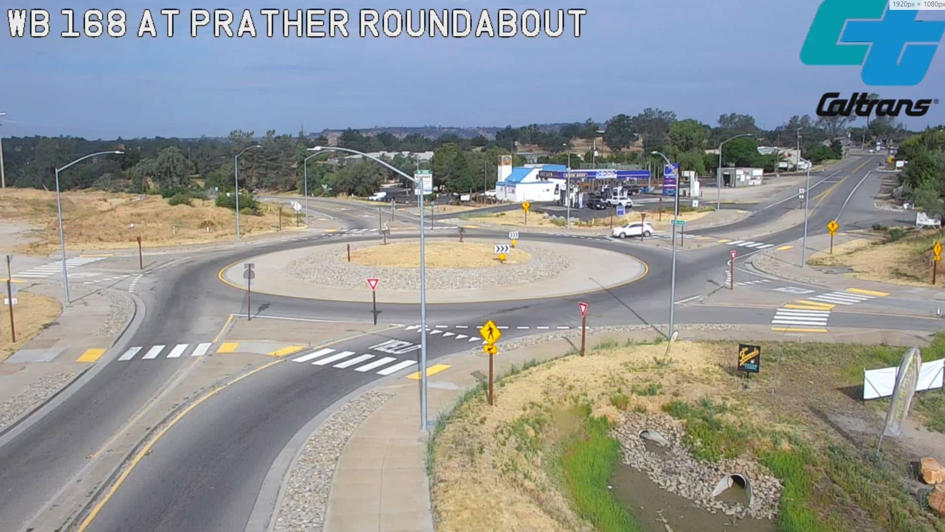
California, United States — 87 km
California, United States — 88 km
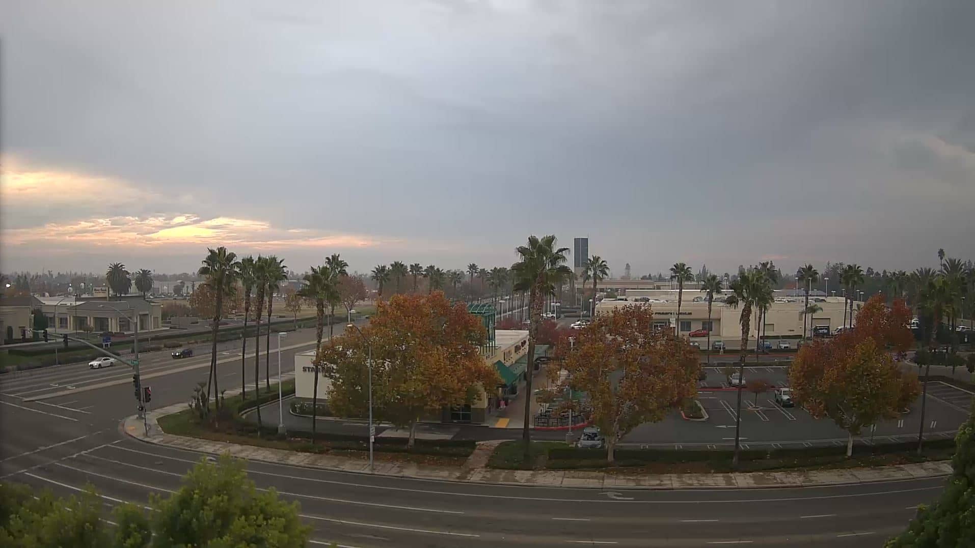
California, United States — 89 km
California, United States — 90 km
California, United States — 97 km

California, United States — 110 km
California, United States — 114 km
The current conditions and a three-day forecast for Three Rivers are shown in the live weather block on this page. They update together with the local time shown above the camera.
The local time for Three Rivers, California, is displayed on this page and follows Pacific time. Check the clock block beside the live player for the current value.
The camera is located in Three Rivers, Tulare County, California, at the entrance to the area leading to Sequoia National Park. The map on this page marks its position.
Early morning and late afternoon often show the most pleasant light and clearest air. Watch during spring for higher river flow, or check the weather block before planning a visit.
Partner links: we may earn a commission at no extra cost to you.