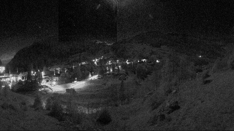
Isola - Panomax isola 180° 1300 mt
Lombardy, Italy — 14 km

San Bernardino - Pan de Zucher
🇨🇭 Graubünden · Switzerland — Altitude 2322 m
This live camera looks out over the mountain landscape around San Bernardino, a village in the Swiss Alps at about 2,300 metres. It is a practical way to see how the valley and peaks look right now before deciding on a walk, a drive over the pass or a day in the mountains.
San Bernardino sits in the Hinterrhein valley of the canton of Graubünden, close to the Italian border. The village is a traditional stop on the route linking northern Switzerland with the Ticino and Lombardy, and it is surrounded by high alpine terrain, meadows and rocky ridges. Its quiet setting and the historic road over the San Bernardino Pass give the area a strong sense of mountain tradition.
The camera points toward the mountain panorama, so the view is most rewarding in clear daylight when the ridges and snowfields stand out sharply. Morning often brings calm air and crisp light, while late afternoon can show the peaks in warm tones. Cloud and fog move quickly in the Alps, so watching over a short period can reveal changing conditions well worth noticing before you travel.
The Alpine climate here is cool even in summer, and winter brings heavy snow that can affect mountain roads, so check the current weather on this page before setting out. Summer and early autumn are the usual months for hiking, while winter suits snow sports. Nearby cameras in Isola, Vals, Montespluga and Splügen show other points across the same region, which helps you compare conditions along the way.
The Hinterrhein area is known for its mountain passes, reservoirs and small villages. Graubünden is the largest canton in Switzerland and has many high-altitude cameras, so this view can be useful for planning routes across the wider region.
Source: roundshot.com
Lombardy, Italy — 14 km
Graubünden, Switzerland — 14 km

Lombardy, Italy — 14 km

Graubünden, Switzerland — 15 km
Lombardy, Italy — 15 km

Lombardy, Italy — 15 km
Graubünden, Switzerland — 17 km

Ticino, Switzerland — 18 km

Ticino, Switzerland — 19 km
Graubünden, Switzerland — 27 km
The current conditions and three-day forecast for San Bernardino are shown in the weather block on this page. Mountain weather can change quickly, so check it before planning outdoor activities.
The local time for San Bernardino is displayed on this page and updates with the live view. It follows Swiss time, which is the same as the rest of Switzerland.
The camera is located in the village of San Bernardino in the canton of Graubünden, Switzerland, at about 2,300 metres above sea level. The map on this page shows its position.
Clear mornings and sunny afternoons usually give the sharpest view of the surrounding peaks. Watching over a few hours helps you see how fog and clouds move through the valley.
Partner links: we may earn a commission at no extra cost to you.