
Parpan - Heimberg
Graubünden, Switzerland — 2.7 km

Lenzerheide - Urdenfuerggli
🇨🇭 Graubünden · Switzerland — Altitude 2543 m
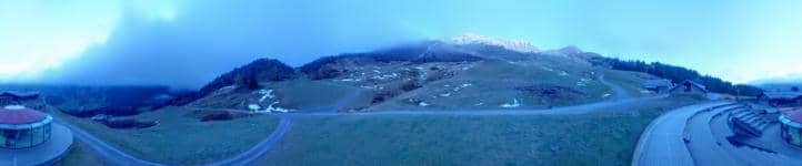
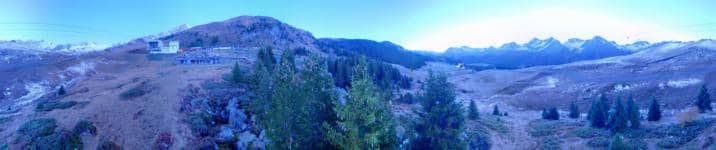
This camera looks out over the mountains around Lenzerheide, a resort village in the Swiss canton of Graubünden at roughly 2,500 metres. It is a useful window for judging snow, cloud and visibility in the Alpine high country before you travel or head out on the trails.
Lenzerheide sits in the Albula valley in eastern Switzerland, a broad, open basin surrounded by high peaks and pine forest. It is a well-known base for hiking, mountain biking and skiing, and it lies within the wider Graubünden region, which has one of the largest numbers of mountain resorts in the country. The landscape is shaped by pastures, lakes and steep rocky ridges, and the air feels noticeably crisp compared with the lowlands.
The view is most rewarding in clear morning light, when peaks are sharp and the valley is still quiet, and again in late afternoon when shadows lengthen across the slopes. Through the seasons the scene changes a great deal: snow cover in winter, green meadows in summer, and warm colours in autumn. Fast-moving cloud and fog can roll in within an hour, so the stream is useful for seeing conditions as they actually are.
Summer is generally the best time to visit for walking, with snow usually clearing from the lower trails by early summer, while winter brings reliable snow for skiing from December into spring. Temperatures at this altitude can be much colder than in the valleys, even in summer, so layers are advisable. Nearby cameras such as Parpaner Rothorn and Station aval in Lenzerheide give further views of the surrounding slopes.
Source: roundshot.com
Graubünden, Switzerland — 2.7 km

Graubünden, Switzerland — 3 km

Graubünden, Switzerland — 3.9 km

Graubünden, Switzerland — 4.4 km
Graubünden, Switzerland — 4.7 km

Graubünden, Switzerland — 4.8 km

Graubünden, Switzerland — 5 km

Graubünden, Switzerland — 5.2 km

Graubünden, Switzerland — 5.5 km
Graubünden, Switzerland — 5.6 km
The current conditions and a three-day forecast for Lenzerheide are shown in the live weather block on this page. Because the village is at high altitude, conditions can differ noticeably from those in nearby valleys.
The local time for Lenzerheide is displayed on this page and updates with the live view. Switzerland follows Central European Time, with daylight saving applied in summer.
The camera is in the Lenzerheide area of the Graubünden canton in eastern Switzerland, at about 2,540 metres above sea level. The map on this page shows its position relative to the village.
Early morning and late afternoon usually offer the clearest light and the most defined mountain outlines. Winter gives snowy views, while summer and autumn show the green and golden landscape.
Partner links: we may earn a commission at no extra cost to you.