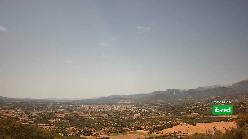
Inca - Santa Magdalena
Balearic Islands, Spain — 7 km
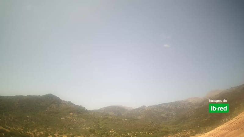
Mancor de la Vall - Vue sur Mancor
🇪🇸 Balearic Islands · Spain — Altitude 220 m
This live stream looks over Mancor de la Vall, a village in the Serra de Tramuntana foothills of Mallorca. It suits anyone curious about daily life in the Balearic interior or planning a visit to the island's quieter northern valleys. The page also shows local time, current conditions and a map.
Mancor de la Vall sits inland in the Mallorcan countryside, a short drive from Inca and the Tramuntana mountains that run along the island's northwest coast. The village is known for its traditional stone houses, almond and olive groves, and the rural atmosphere that sets the interior apart from the busy coast. Its elevation of about 220 metres means it is often cooler and greener than the beach towns.
The camera is most rewarding in the early morning and late afternoon, when low sun brings out the colours of the surrounding hills and the village rooftops. Depending on the view, you may see passing traffic, the church area and the terraced slopes beyond. Clear days give the best visibility, while cloud over the mountains often adds drama to the scene.
Inland Mallorca has hot, dry summers and mild, rainy winters, so spring and autumn are the most comfortable seasons for a visit. Getting around usually means driving, as public transport is limited outside the main towns. Nearby cameras include Inca at Santa Magdalena, Pollença at La Mola and Bunyola at Serra d'Alfàbia.
Source: avistabaleares.es
Balearic Islands, Spain — 7 km

Balearic Islands, Spain — 13 km
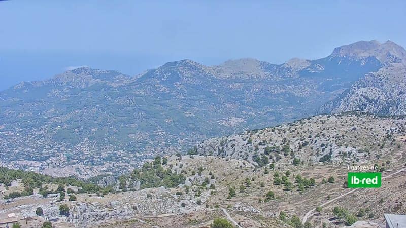
Balearic Islands, Spain — 14 km
Balearic Islands, Spain — 14 km
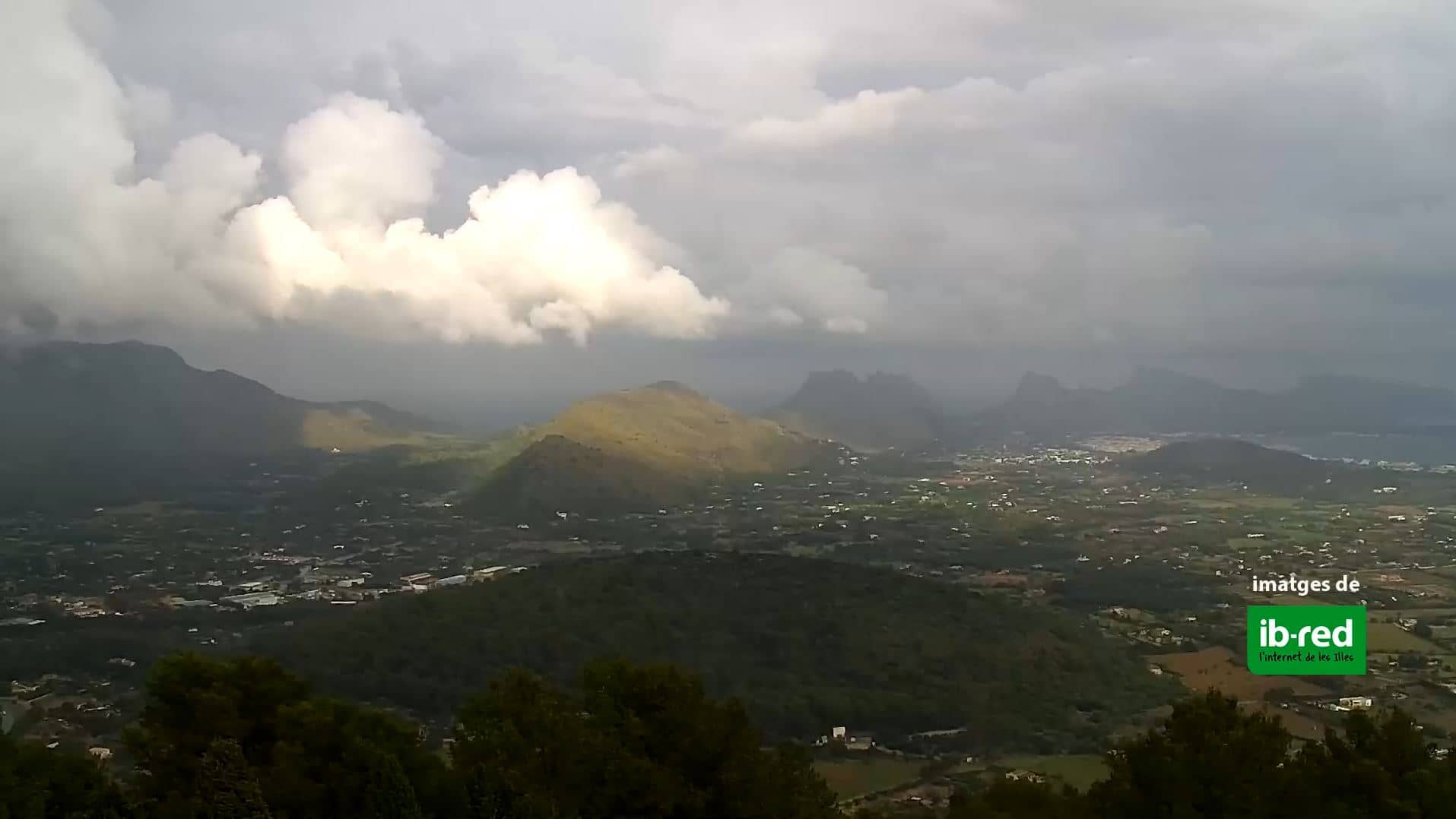
Balearic Islands, Spain — 18 km
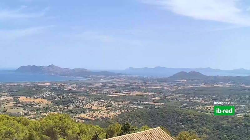
Balearic Islands, Spain — 18 km
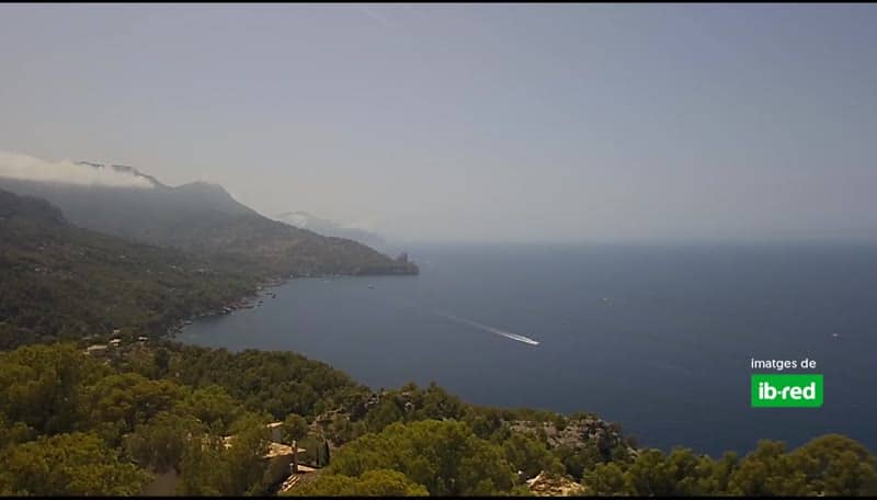
Balearic Islands, Spain — 18 km

Balearic Islands, Spain — 21 km
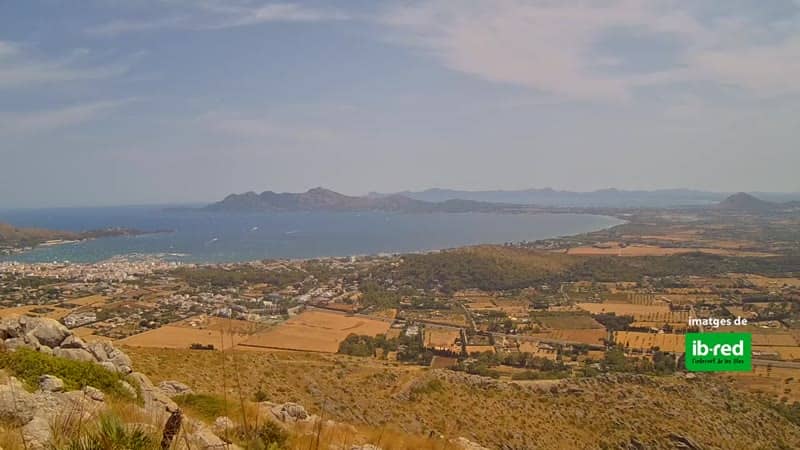
Balearic Islands, Spain — 22 km
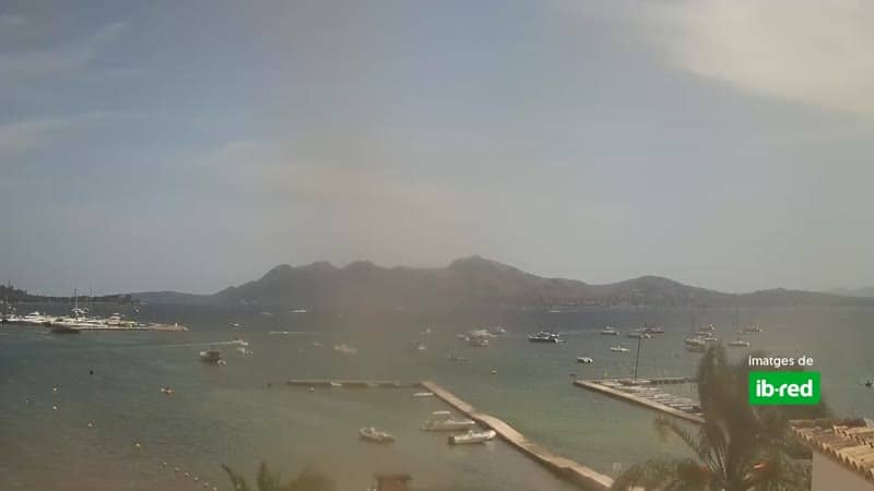
Balearic Islands, Spain — 24 km
Current conditions and a 3-day forecast are shown in the weather block on this page, updated for the village's location.
The local time is displayed on this page and follows the Spanish time zone used across the Balearic Islands.
The camera is in the village of Mancor de la Vall at roughly 220 metres altitude, and the map on this page marks its position.
Early morning and late afternoon usually offer the softest light over the village, though clear weather at any hour gives the clearest view.
Partner links: we may earn a commission at no extra cost to you.