
Candanchú - Pista Grande (Aralar) - 1500 m
Aragon, Spain — 1.2 km

Candanchú - Zapatilla - 1950 m
🇪🇸 Aragon · Spain — Altitude 1950 m
This camera looks out from Zapatilla, a high point above Candanchú in the Aragonese Pyrenees at about 1950 metres. It is a practical window onto mountain conditions, showing how the sky and slopes look before you commit to a trip.
Candanchú is a small village in the Aragón valleys on the Spanish side of the central Pyrenees, close to the French border and the Somport pass. The area is known for its wild mountain scenery, forests of pine and beech, and as a base for winter sports. Its position on a historic route between Spain and France has long shaped the village, and the surrounding peaks give it a quiet, alpine character throughout the year.
Because the camera sits at high altitude, the view depends heavily on cloud, snow and visibility. Winter brings the most dramatic conditions, when fresh snow can change the landscape within hours. In summer and autumn, watch for clearing skies in the morning and building cloud in the afternoon, which is typical of mountain weather. Early and late hours of daylight often show the best light on the ridges.
The Pyrenees have a cool mountain climate, with cold winters and mild, changeable summers, so temperatures at this height are often much lower than in the valleys below. Late spring and early autumn are good times for hiking when snow has melted, while winter suits skiing. Nearby cameras on the Pista Grande, the ski station, Somport and Tuca Blanca can help you compare conditions across the area.
Check the live blocks on this page for the current local time and the weather at this location, plus a three-day forecast. Mountain weather can shift quickly, so it is worth looking at both the stream and the forecast before heading out.
Source: candanchu.com
Aragon, Spain — 1.2 km
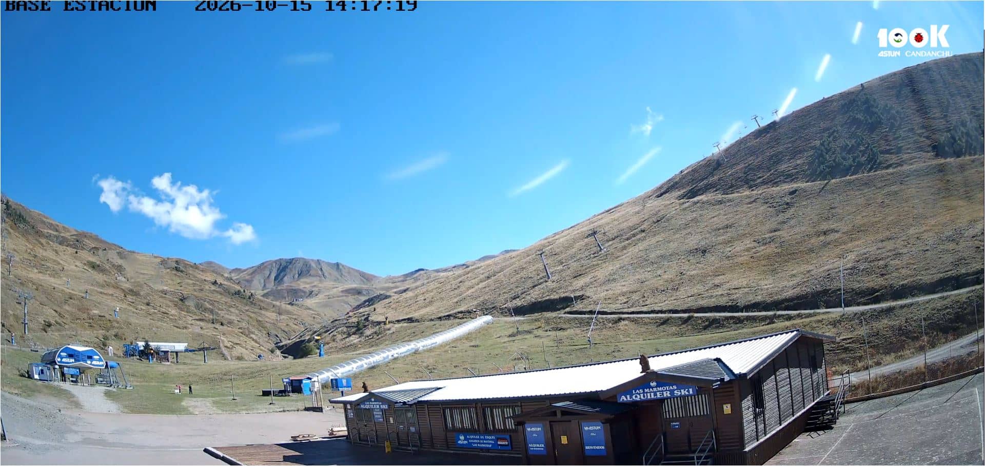
Aragon, Spain — 1.7 km
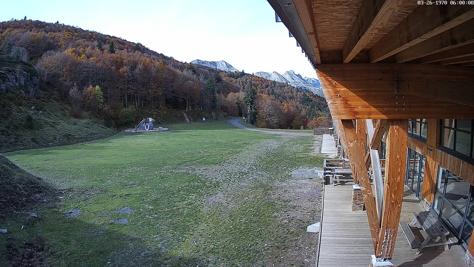
Occitania, France — 2.3 km
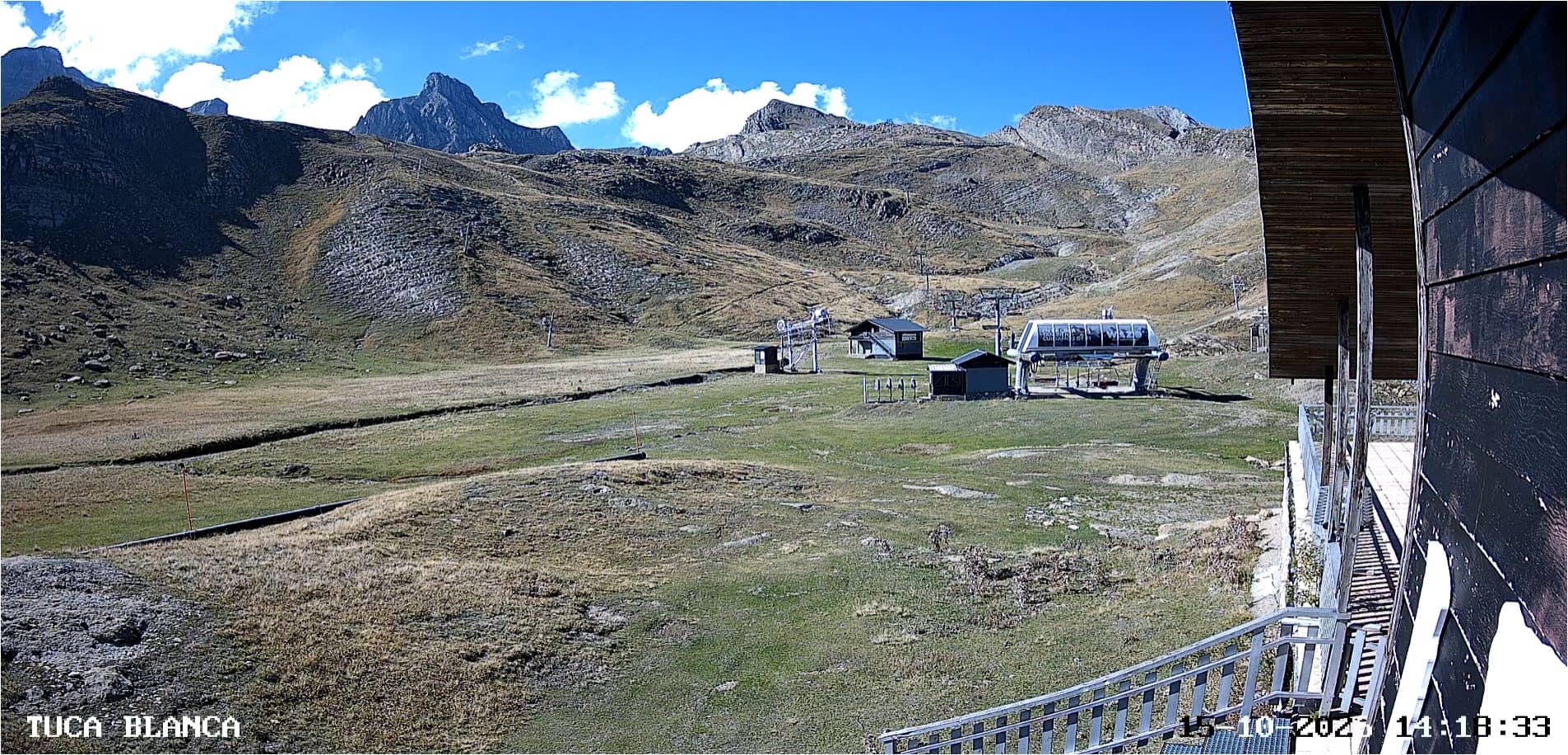
Aragon, Spain — 3.1 km
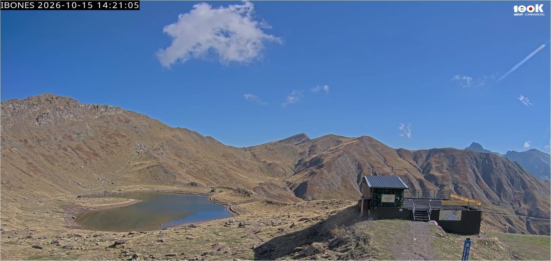
Aragon, Spain — 4.8 km

Nouvelle-Aquitaine, France — 5.4 km
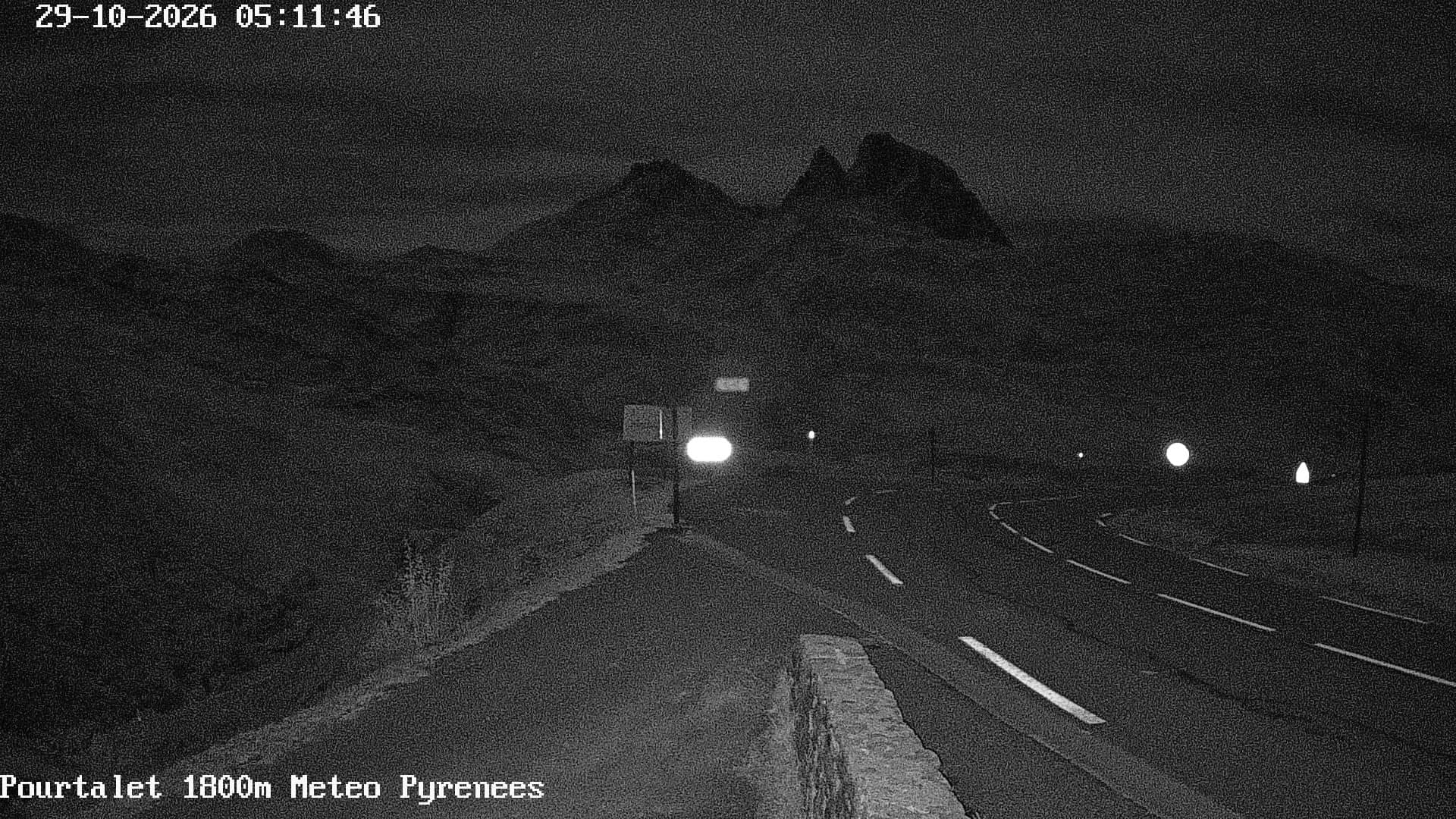
Nouvelle-Aquitaine, France — 9 km
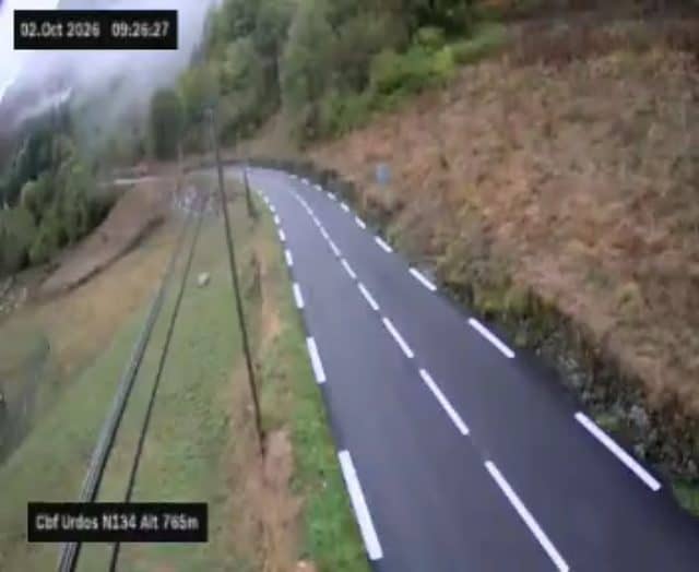
Nouvelle-Aquitaine, France — 11 km
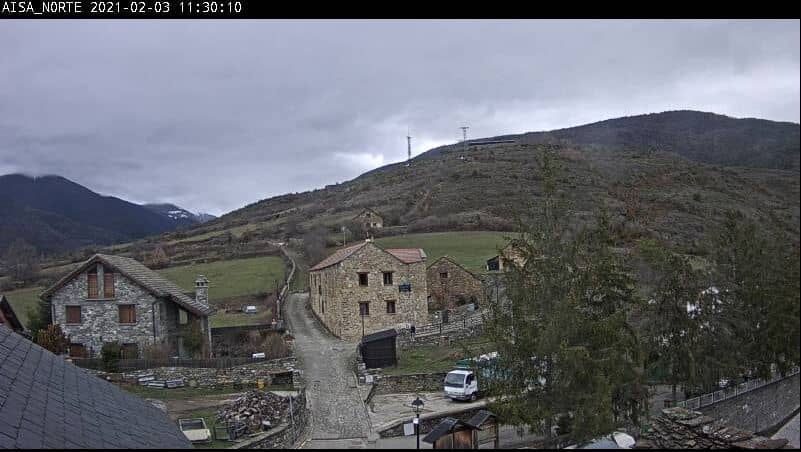
Aragon, Spain — 13 km
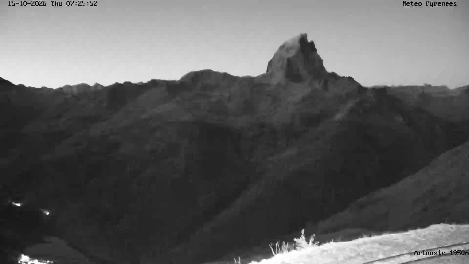
Nouvelle-Aquitaine, France — 16 km
The current conditions and a three-day forecast for this high location are shown in the live weather block on this page. Mountain weather changes quickly, so check it again before setting off.
The local time for Candanchú is displayed on this page and updates with the live view. It follows the same time zone as mainland Spain.
The camera is at Zapatilla above Candanchú, at about 1950 metres in the Aragonese Pyrenees near the French border. The map on this page shows its exact position.
Winter shows the most change, with snow and dramatic light, while clear mornings in summer and autumn are useful for judging visibility. Watching in the early or late daylight hours often gives the clearest view.
Partner links: we may earn a commission at no extra cost to you.