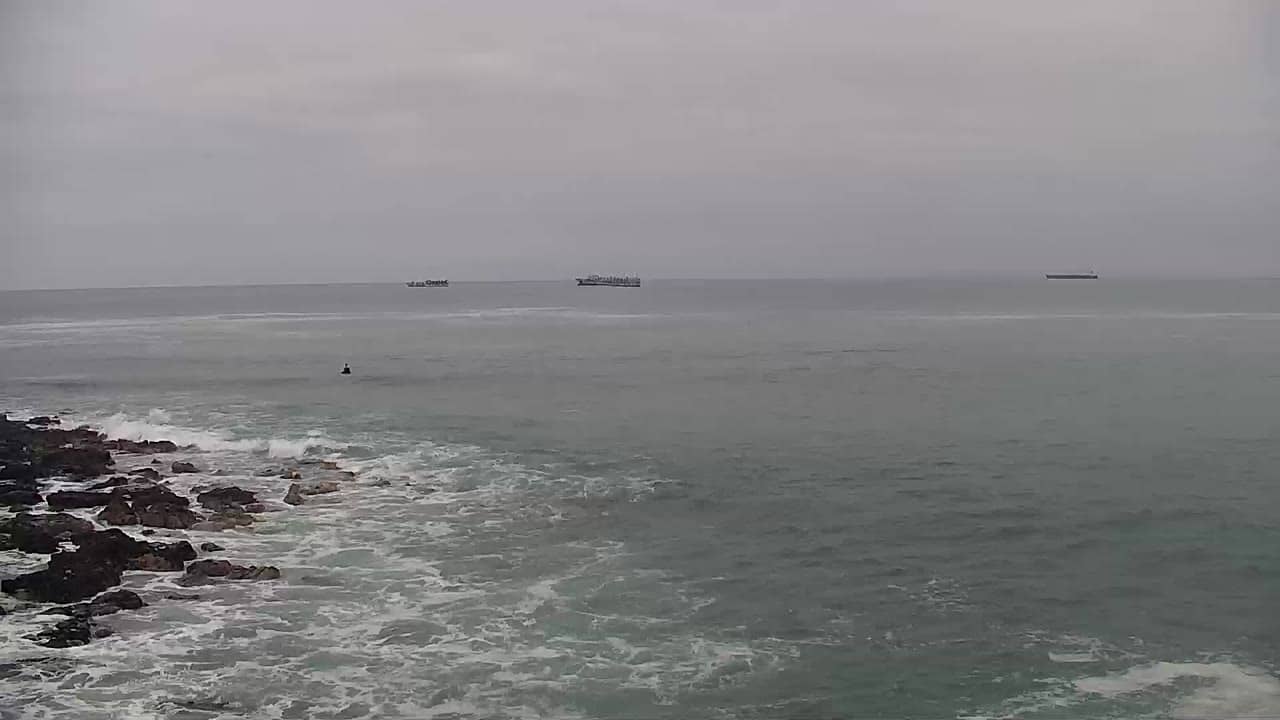
Arica - Plage de Isla Alacrán
Arica and Parinacota, Chile — 265 km
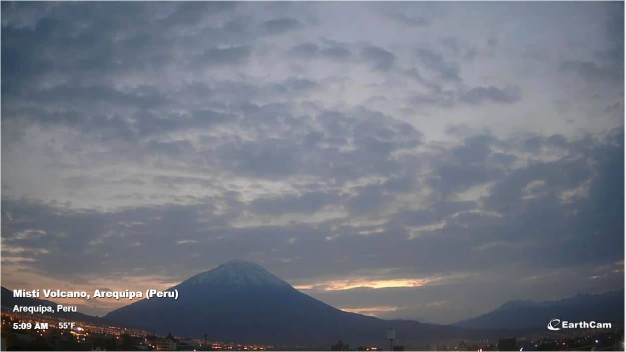
Arequipa - Volcan Misti
🇵🇪 Puno Region · Peru — Altitude 2417 m
This live camera looks toward Volcán Misti, the snow-capped cone that rises above Arequipa in southern Peru. It is a useful window for anyone planning a trip to the White City or checking how the mountain looks right now. The page also shows local time and the current weather with a short forecast.
Arequipa sits in a high valley of the Peruvian Andes at about 2,400 metres, and is known for its white volcanic stone architecture and its colonial historic centre. Misti is a near-perfect volcanic cone that dominates the skyline and is one of the best-known peaks in the region. The city is the gateway to Colca Canyon and the surrounding highlands, which gives the landscape a dramatic, high-altitude character.
The camera is focused on the mountain itself, so its appearance depends heavily on cloud cover and the time of day. Clear mornings tend to offer the sharpest outline of the summit, while afternoon clouds often build up around the peak. Views at sunrise and sunset are especially striking when the light catches the volcanic slopes.
Arequipa has a mild, dry climate with sunny days year-round, and the driest months are generally from May to October, which usually means clearer skies for viewing the volcano. Temperatures can drop noticeably after dark because of the altitude, so bring warm layers. Allow a few days to adjust to the elevation before attempting strenuous hikes.
Source: Webcam Volcan Misti
Arica and Parinacota, Chile — 265 km
Arica and Parinacota, Chile — 266 km
Cusco Region, Peru — 324 km
Tarapacá, Chile — 450 km
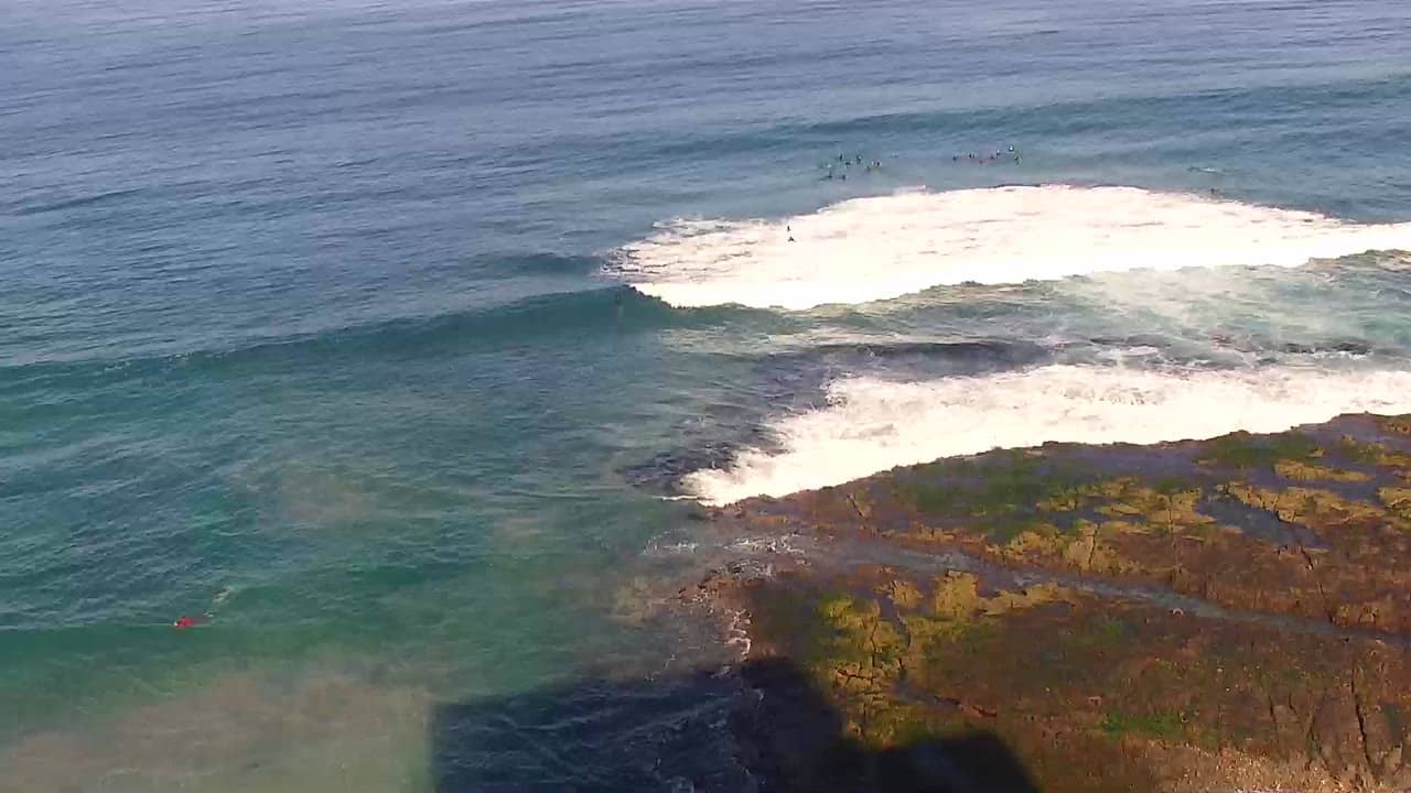
Tarapacá, Chile — 450 km
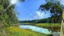
Madre de Dios, Peru — 521 km
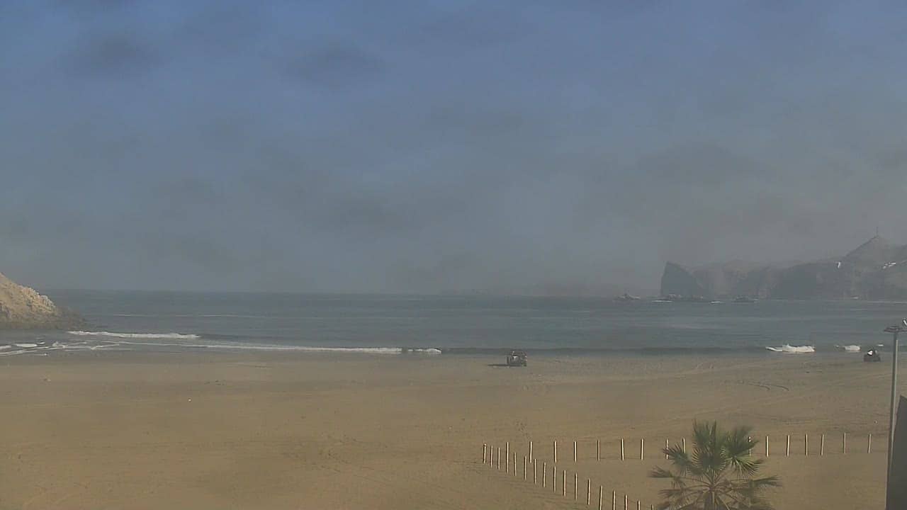
Lima Region, Peru — 698 km
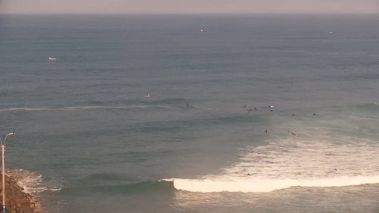
Lima Region, Peru — 719 km
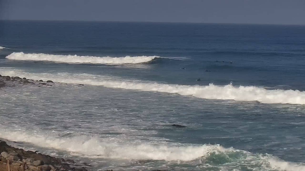
Lima Region, Peru — 719 km
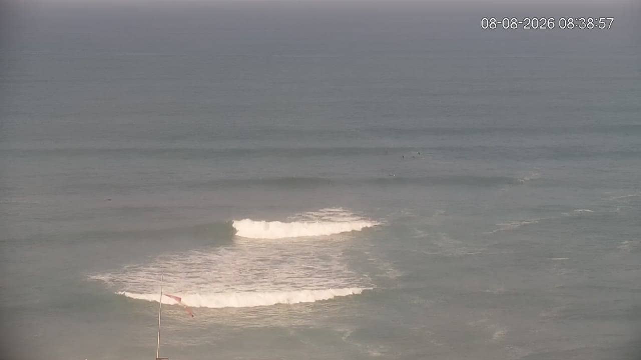
Lima Region, Peru — 725 km
The current conditions and a three-day forecast for Arequipa are shown in the weather block on this page, updated with the live data.
The local time for Arequipa is displayed on this page and updates live, so you can check it before planning a call or a visit.
The camera is in the Arequipa area of the Puno Region in southern Peru, and the map on this page marks its position relative to the city and the volcano.
Mornings and the dry season from May to October usually offer the clearest views, while cloud often gathers around the summit in the afternoon.
Partner links: we may earn a commission at no extra cost to you.