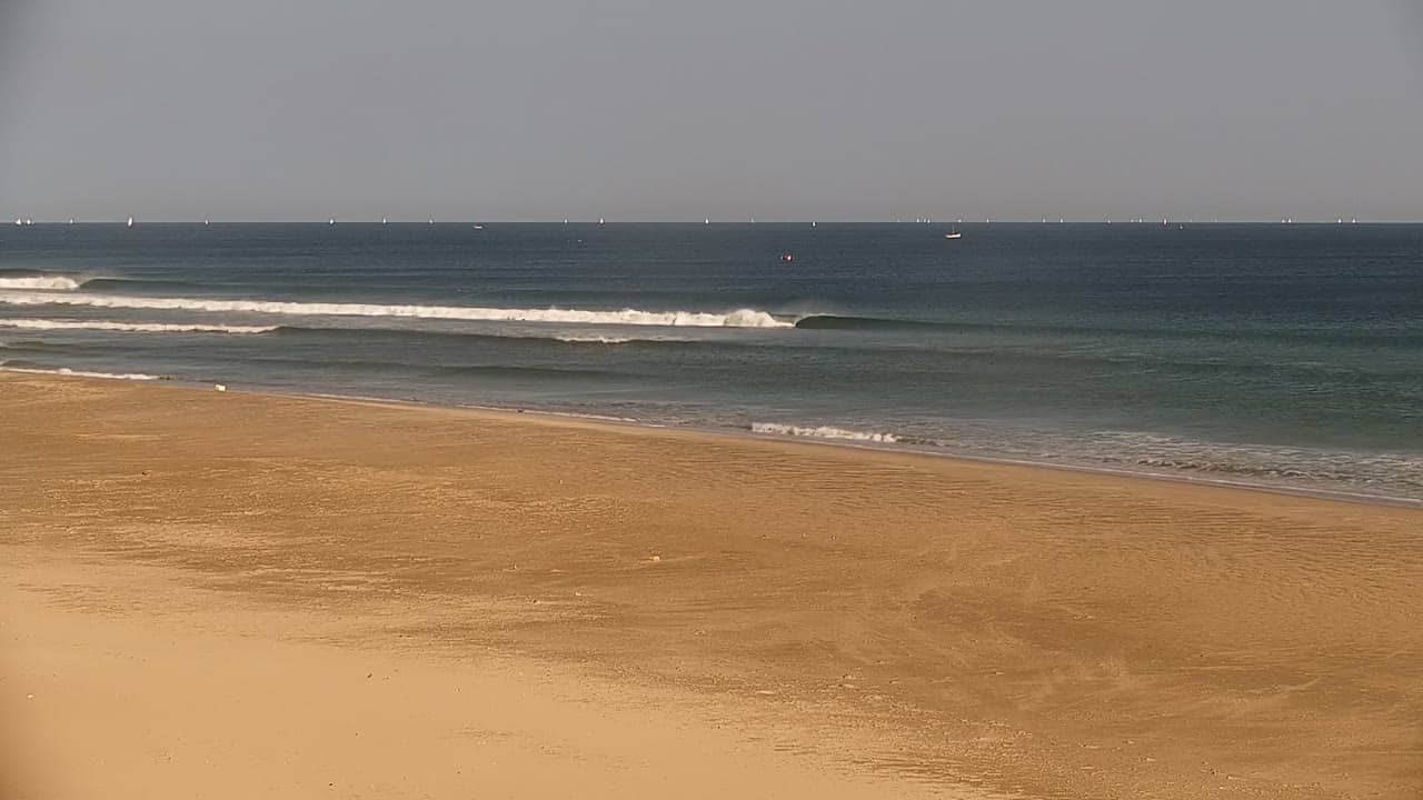
Piura - Plage de Panic Point
Piura, Peru — 25 km
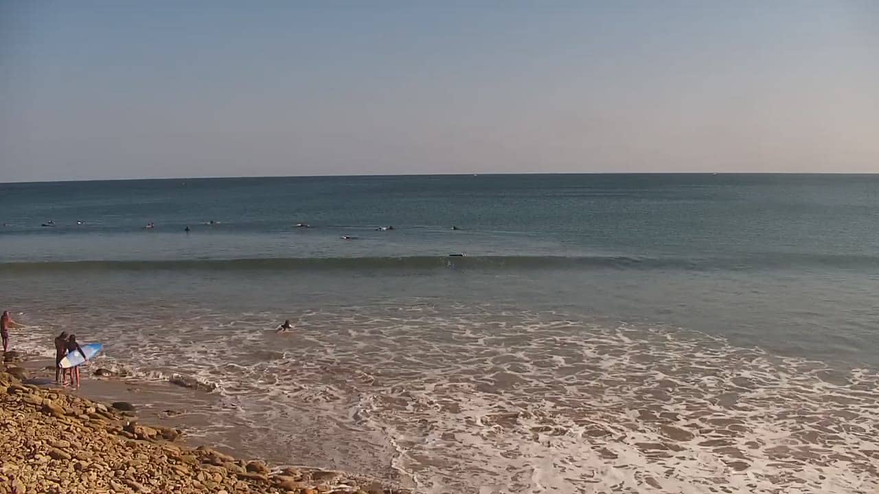
Piura - Plage de Mancora
🇵🇪 Piura · Peru — Altitude 5 m
This live stream looks out over the beach at Mancora, a surf and holiday town on Peru's northern Pacific coast. It is a quick way to check conditions on the sand and water before you travel or while you plan your day. The page also shows the local time and the current weather.
Mancora sits in the Piura region close to the Ecuador border, where the desert meets the Pacific. The town grew around its long sandy beach and is known among travellers for surfing, relaxed guesthouses and sunset views over the ocean. The climate is warm for most of the year, with the sea usually milder than in southern Peru. The landscape is flat and dry behind the shore, which makes the beach stand out even more.
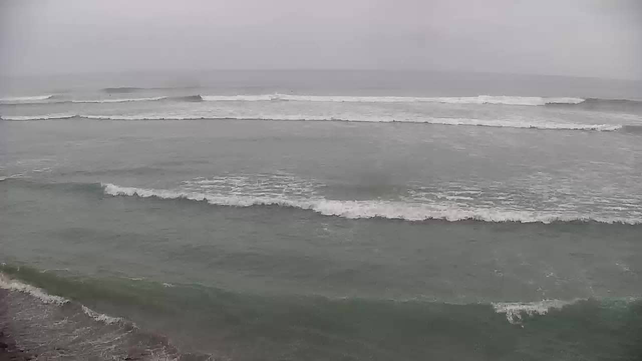
Depending on the view, you may see waves forming and breaking, surfers in the water, and people walking along the sand. Early morning often brings calmer water and clearer light, while the late afternoon is popular for the sunset and busier promenade life. Cloud cover and wind change the look of the sea quite a lot, so the view can feel very different from one hour to the next. Check it at different times to get a sense of the typical rhythm.
Mancora is usually visited for its warm weather and beach life, and the drier months tend to be the most comfortable for time outdoors. Getting there is most often by road from Piura or Talara, and the town is small enough to explore on foot or by mototaxi. Nearby, the Panic Point and Lobitos beaches are both popular for day trips and are also covered by cameras on VizCams. The weather block on this page shows current conditions and the forecast for the next three days.
Source: misolas.com
Piura, Peru — 25 km
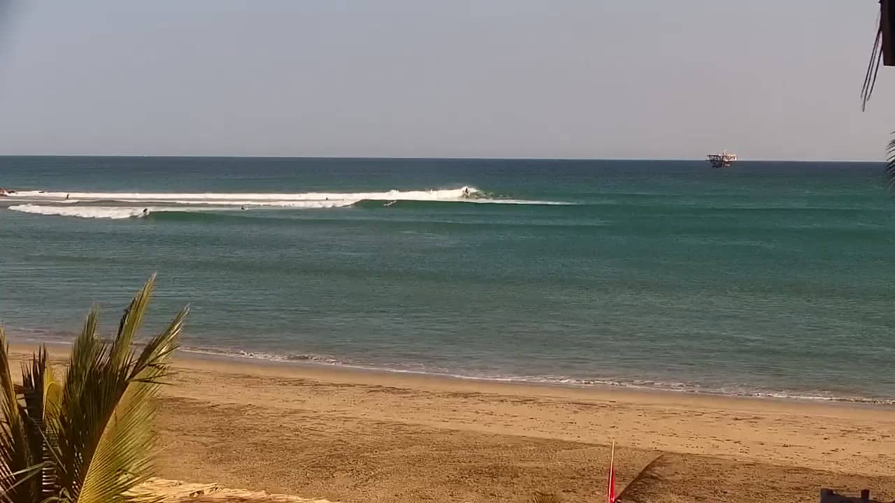
Piura, Peru — 46 km
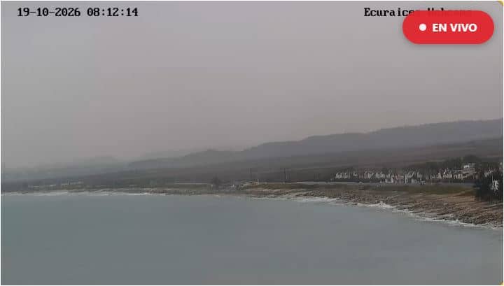
Santa Elena, Ecuador — 212 km
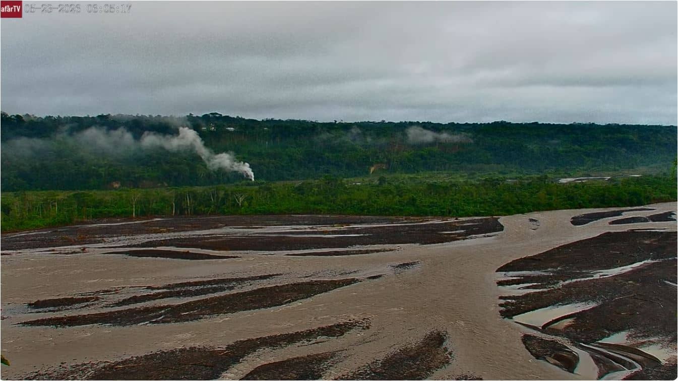
Morona Santiago Province, Ecuador — 387 km
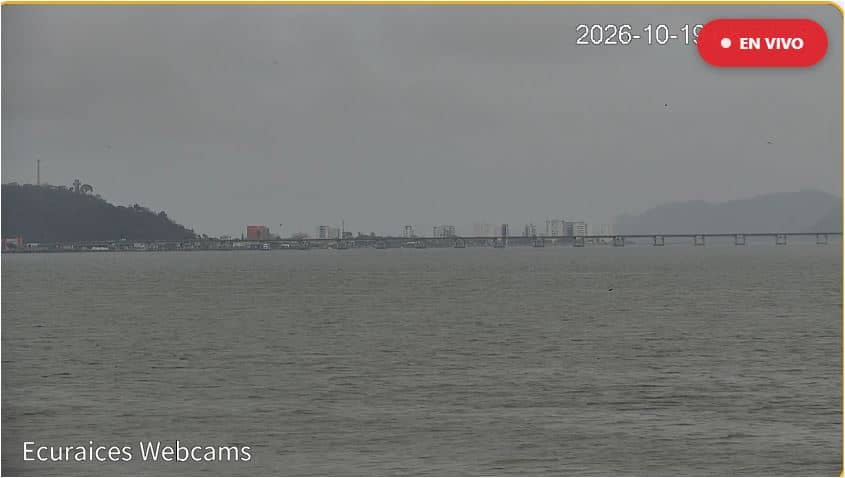
Manabí, Ecuador — 397 km
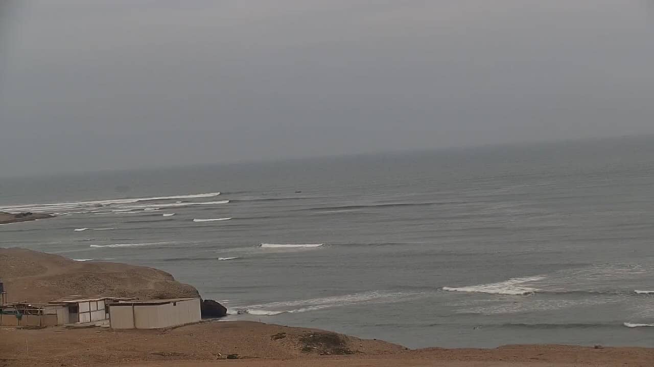
La Libertad, Peru — 402 km
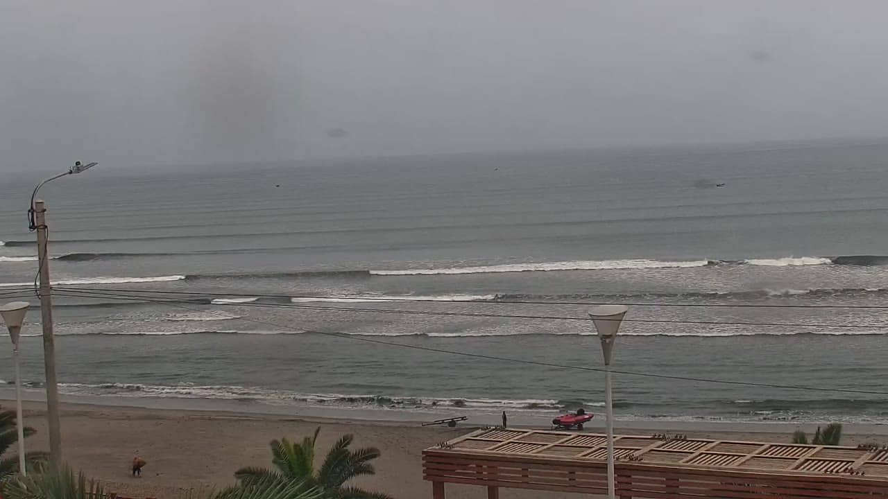
La Libertad, Peru — 438 km
La Libertad, Peru — 491 km
Morona Santiago Province, Ecuador — 520 km
Ancash, Peru — 718 km
The current weather and a 3-day forecast are shown in the live block on this page. The values update automatically, so you can check them before you head to the beach.
The local time is displayed on this page and updates live. It follows the time zone of northern Peru, so you can compare it with your own clock before a call or a visit.
The camera is located at Mancora on the coast of the Piura region in northern Peru, at about 4.10 degrees south latitude. The map on this page shows the exact position.
Early mornings are usually calm and clear, while late afternoons bring sunset light and more people on the sand. Weather and wind can change the view, so checking at different times gives the best picture.
Partner links: we may earn a commission at no extra cost to you.