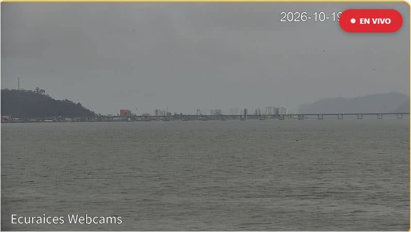
Bahía de Caráquez - Malecón
Manabí, Ecuador — 186 km
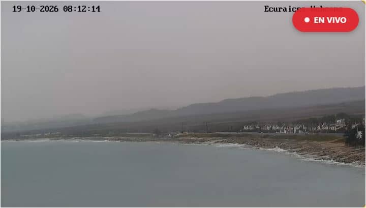
Ballenita - Plage de Ballenita
🇪🇨 Santa Elena · Ecuador — Altitude 5 m
This live camera looks out over Ballenita beach on the Santa Elena Peninsula, a stretch of Ecuador's Pacific coast. It is a simple way to check how the sea and sky look here before you plan a day by the water.
Ballenita is a small coastal town in Santa Elena province, close to the city of Salinas on the Pacific shore of Ecuador. The coast here is open and sandy, with a dry, low landscape behind the dunes and a fishing and holiday atmosphere. Life revolves around the sea, the surf and the simple seafront rhythm of a community that has long lived from the ocean.
The camera is aimed at the beach itself, so the view is mainly about the sand, the waves and the sky over the Pacific. Depending on the angle and conditions, you may see surfers, walkers or fishing boats. Activity tends to be busiest in the late afternoon, when the light softens and the day's heat eases, and on weekends when local visitors come to the coast.
Coastal Ecuador has a warm climate year round, with the drier months generally offering clearer skies for watching the coast. Ballenita is reached by road from Santa Elena and Salinas, and the nearby coastal towns are easy to combine into a longer trip. Cooler, cloudy mornings are common, so the live weather on this page is useful before heading out.
Source: EcuRaíces
Manabí, Ecuador — 186 km
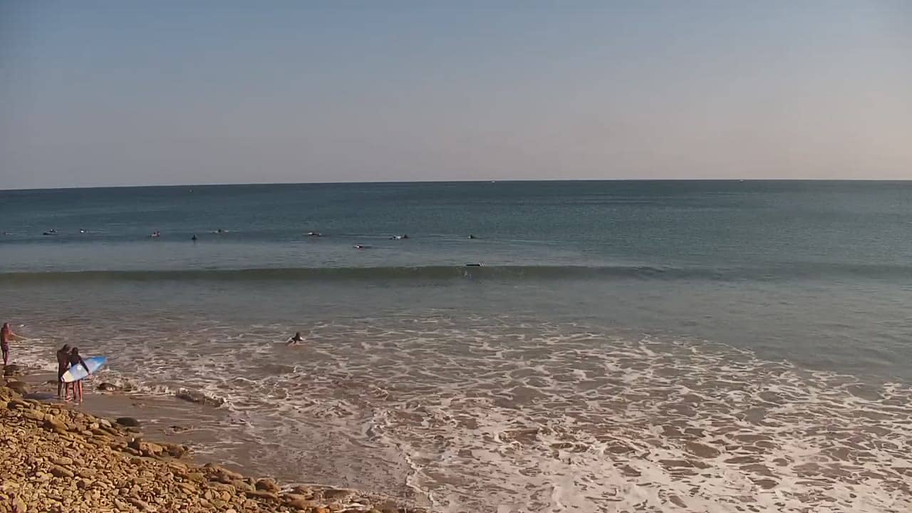
Piura, Peru — 212 km
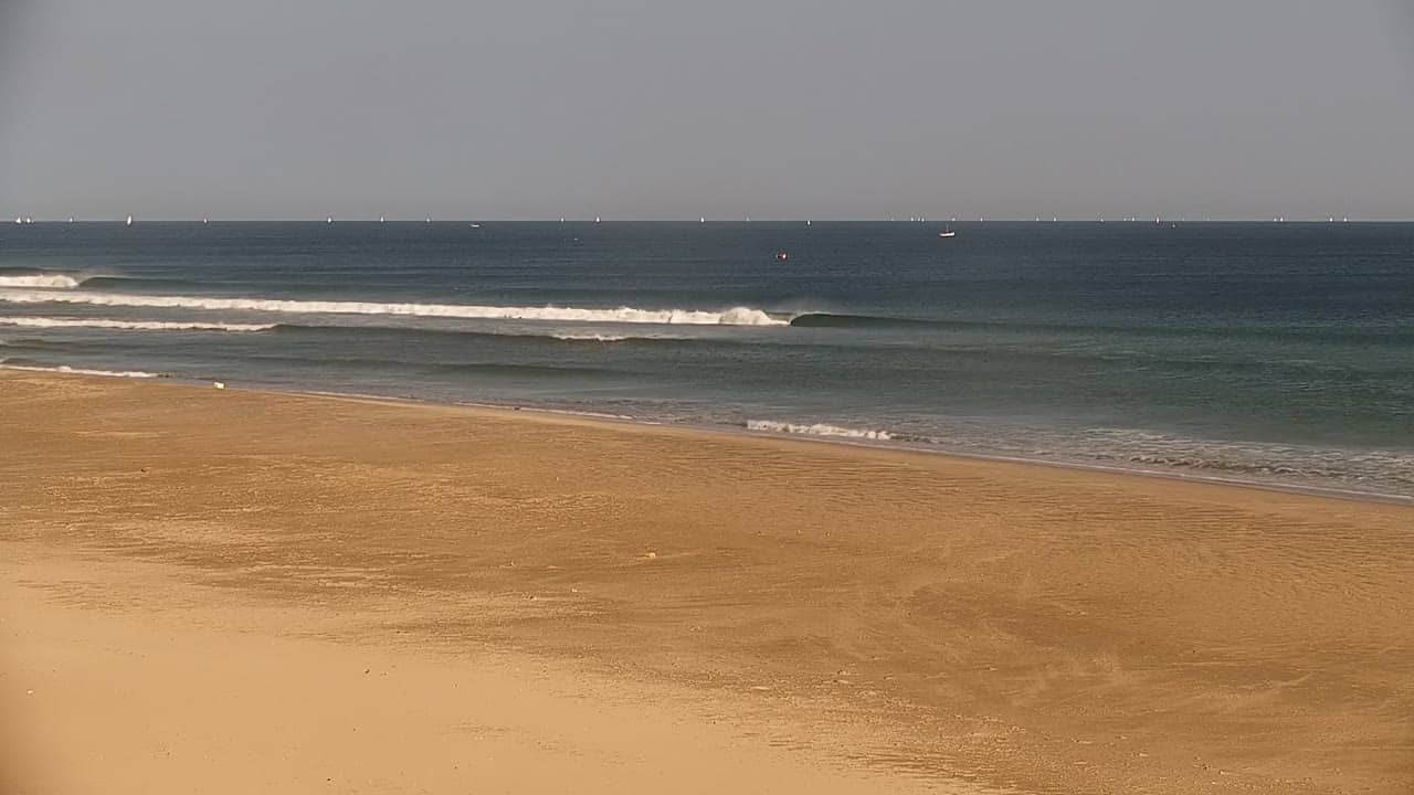
Piura, Peru — 231 km
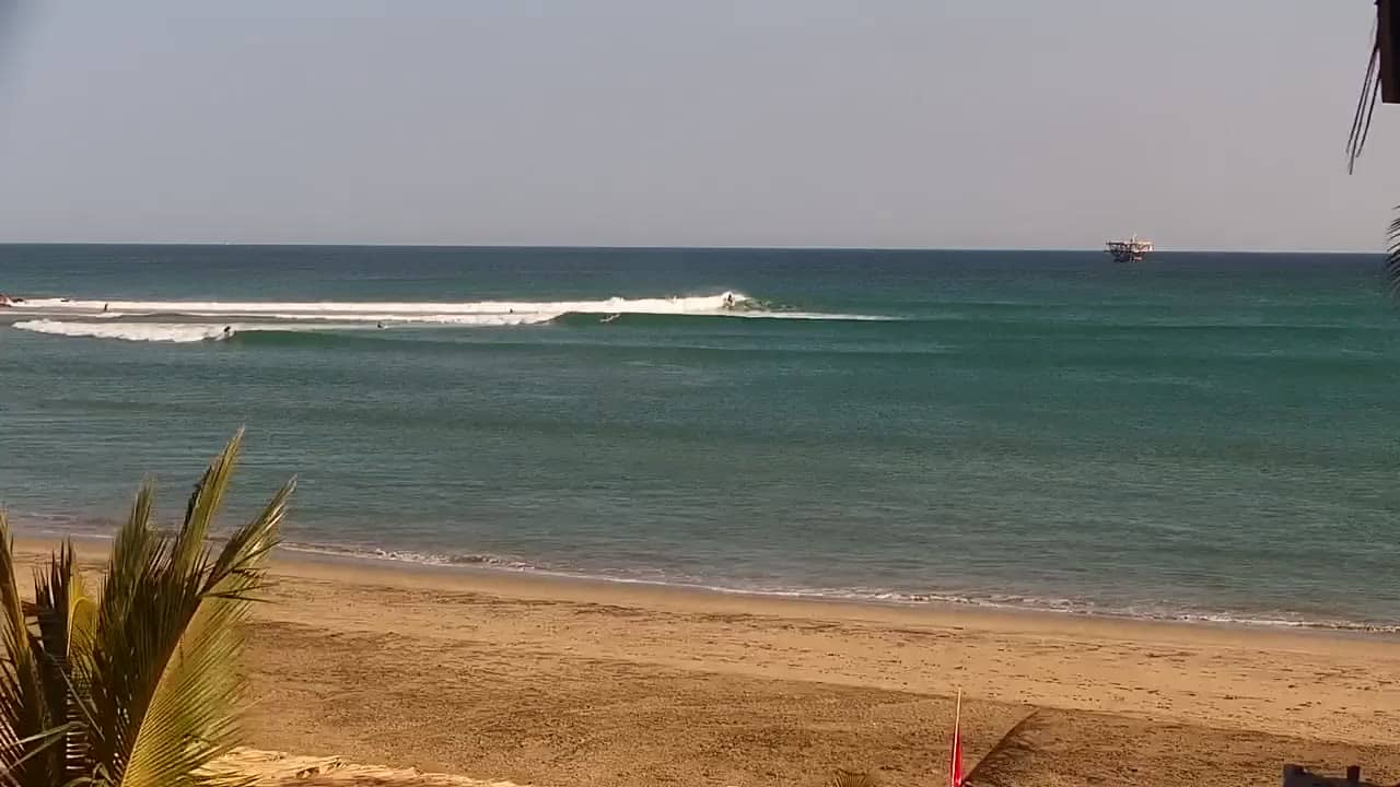
Piura, Peru — 254 km
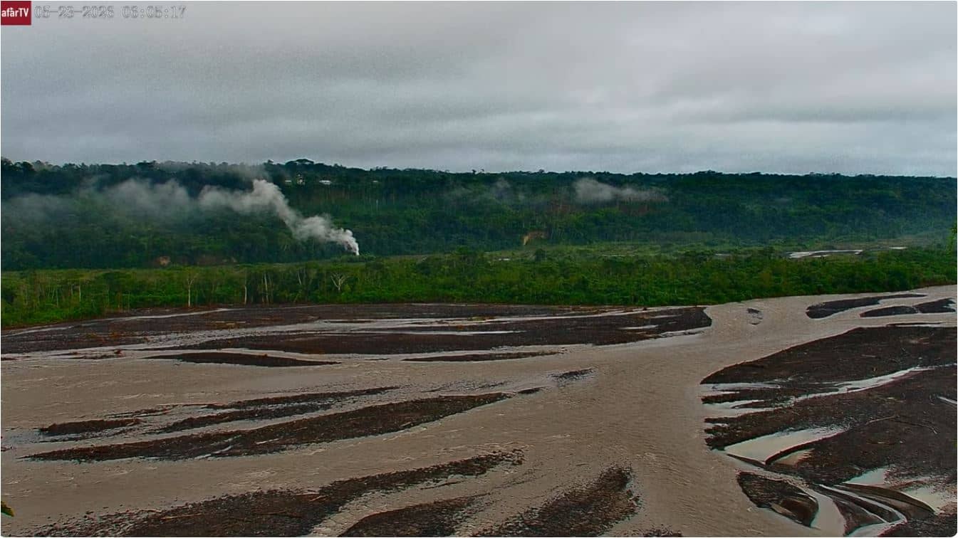
Morona Santiago Province, Ecuador — 309 km
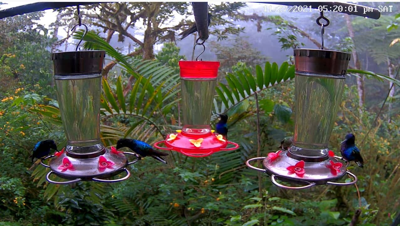
Morona Santiago Province, Ecuador — 338 km
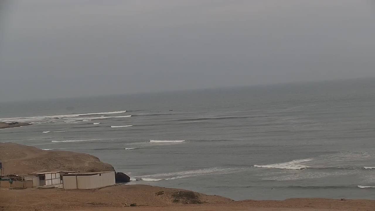
La Libertad, Peru — 596 km
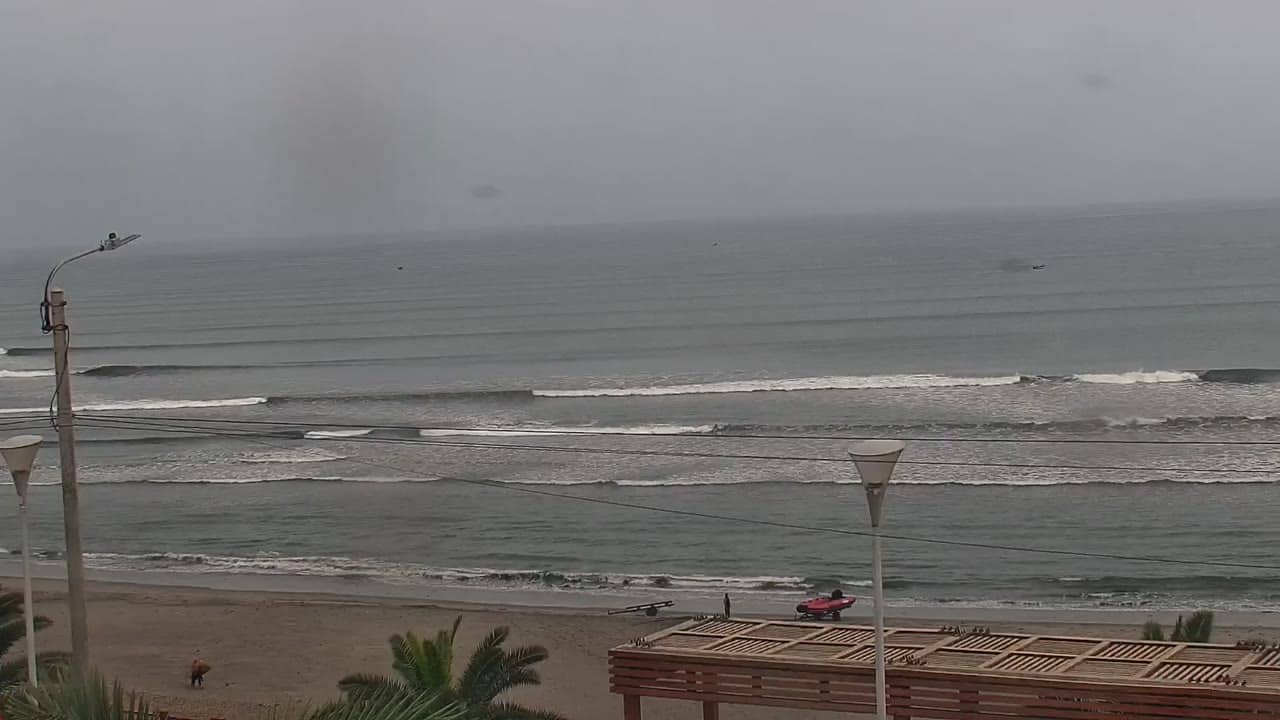
La Libertad, Peru — 631 km
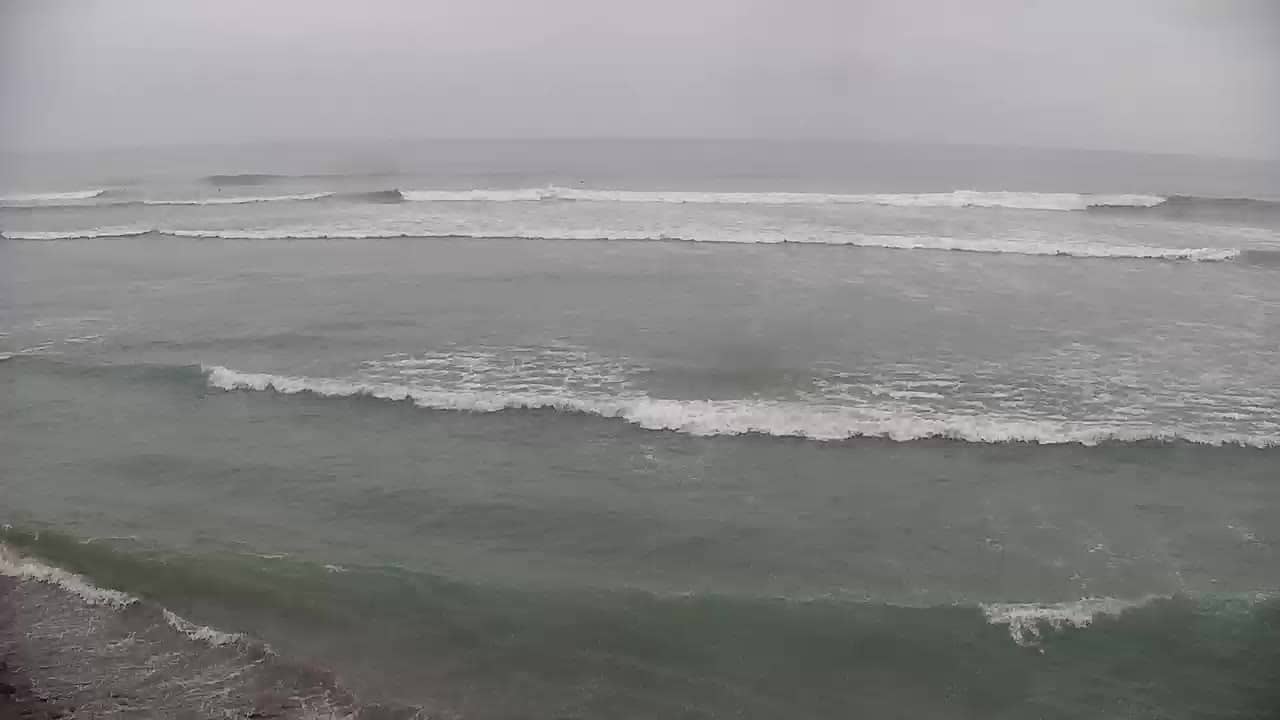
La Libertad, Peru — 681 km
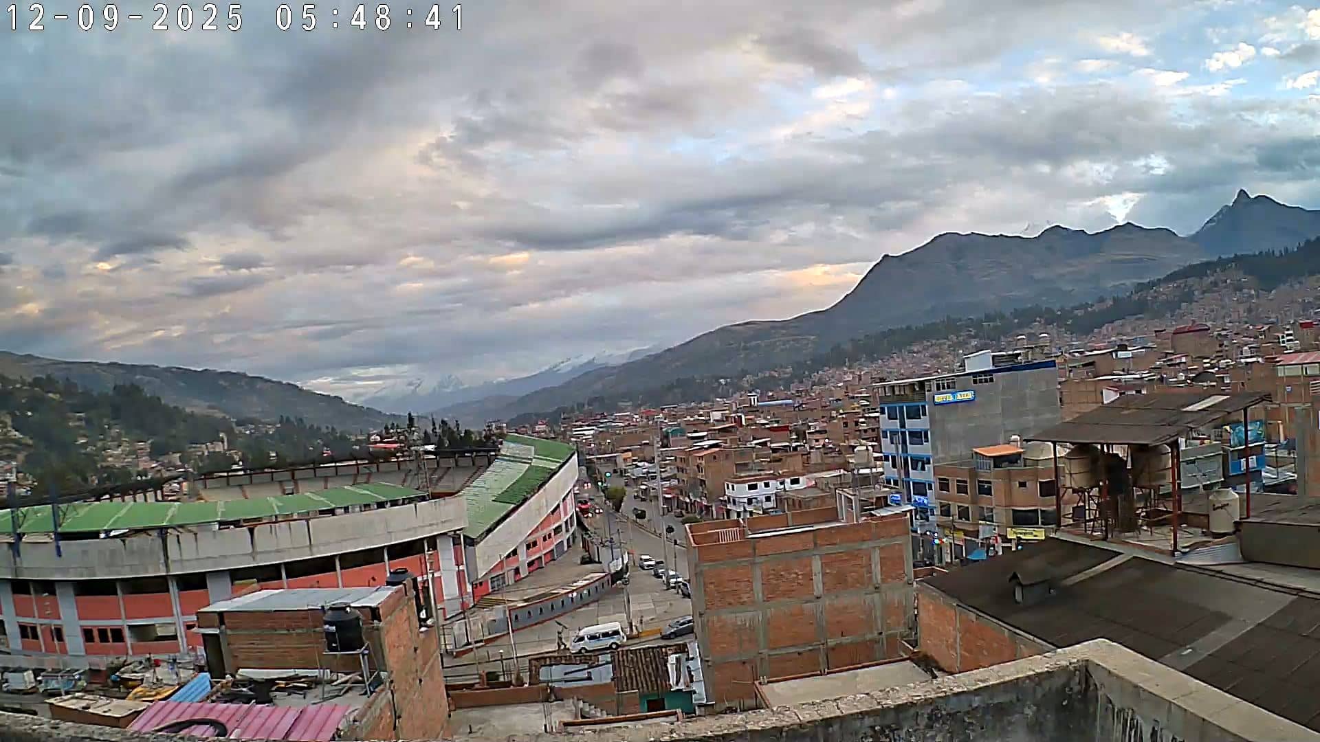
Ancash, Peru — 894 km
The current conditions and a three-day forecast are shown in the weather block on this page, updated for Ballenita itself. Check it before you decide when to visit the beach.
The local time is displayed on this page for Ballenita, so you can see the current time there alongside the live camera image.
The camera is in the town of Ballenita in Santa Elena province on Ecuador's Pacific coast, and the map on this page marks its position.
Late afternoon is often the liveliest time, when people gather and the light is soft. Weather and conditions vary, so the live view gives the most accurate picture of the moment.
Partner links: we may earn a commission at no extra cost to you.