Δημοτική Ενότητα Κάτω Κλεινών - Κρατερό Φλώρινας
West Macedonia, Greece — 11 km
🇲🇰 Pelagonia · North Macedonia — Altitude 589 m
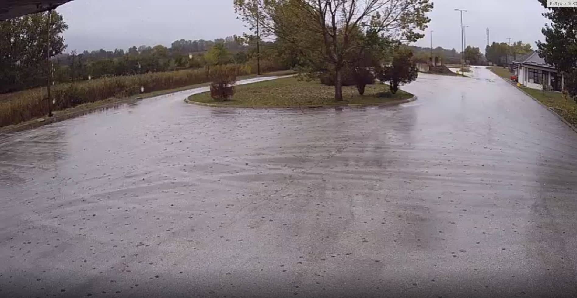
This live stream looks out over Medzitlija, a village in the Pelagonia region of North Macedonia close to the Greek border. The page lets you check conditions in the valley before you travel or simply see what the weather is doing there today.
Medzitlija sits at roughly 590 metres above sea level in the Pelagonia basin, a broad agricultural plain framed by mountains. The area is known for its farmland, its crossing toward Greece and its role as a gateway between the Macedonian interior and the Aegean coast. The landscape changes noticeably with the seasons, from green fields in spring to dry, golden ground in late summer.
Because the title names only the village, the view is best understood as a general look at a rural border settlement rather than a famous landmark. Depending on the angle, you may see fields, roads and the surrounding hills. Mornings often bring clearer air, while late afternoon light is good for judging how the weather is developing over the plain.
The Pelagonia basin has hot summers and cold winters, with snow possible in the surrounding mountains. Spring and autumn are the most comfortable seasons for travel. Nearby on VizCams you can also open the views at St. Naum, Popova Shapka and Kalambaka near the Meteora monasteries, which help compare conditions across the wider region.
Source: Webcams Macedoine
West Macedonia, Greece — 11 km
West Macedonia, Greece — 15 km
West Macedonia, Greece — 15 km
West Macedonia, Greece — 16 km
West Macedonia, Greece — 17 km
West Macedonia, Greece — 19 km
West Macedonia, Greece — 21 km
West Macedonia, Greece — 21 km
West Macedonia, Greece — 23 km
West Macedonia, Greece — 26 km
The current conditions and a three-day forecast are shown in the live weather block on this page, updated automatically for the village.
The local time is displayed on the page and follows the time zone used in North Macedonia, so you can check it before calling or travelling.
The map on this page marks the camera position in the Pelagonia region, close to the border with Greece. The coordinates shown help you locate it precisely.
Daylight hours give the clearest view, and the season affects what you see, since fields and skies change a lot between spring, summer and winter.
Partner links: we may earn a commission at no extra cost to you.