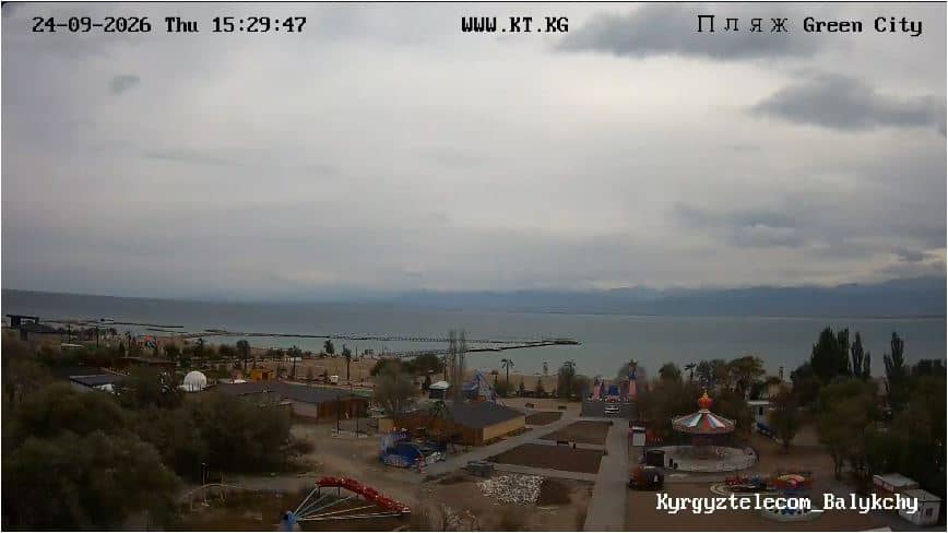
Plage de Balykchy - Ville Verte
Issyk-Kul Region, Kyrgyzstan — 34 km
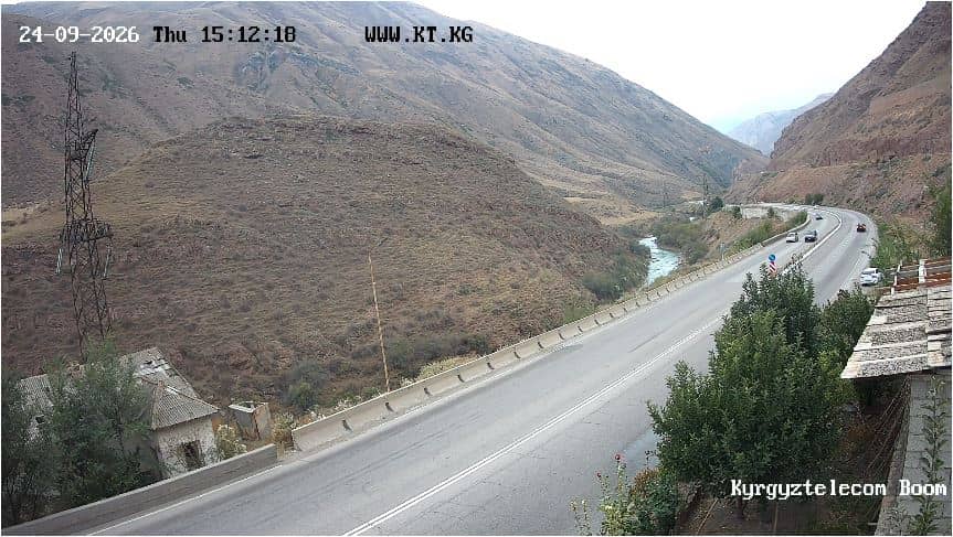
🇰🇬 Chüy Region · Kyrgyzstan — Altitude 1509 m
This live stream follows a mountain gorge in the Chüy Region of northern Kyrgyzstan, at roughly 1,500 metres above sea level. Watch it to get a sense of the terrain and the conditions before you travel, or simply to see how the weather moves through the valley.
Gorges de Boom lies in the Chüy Region, the agricultural and mountainous province that stretches north of the Kyrgyz Ala-Too range. Kyrgyzstan is known for its high pastures, steep river valleys and wide skies, and gorges like this one cut through the landscape where rivers have worn deep channels into the rock. The area reflects the country's character: rugged, open and shaped by seasonal herding and farming in the valleys below.
The title names a gorge, so the view is most likely of rock walls, the valley floor and the sky above it. Depending on the angle, you may see changing light across the cliffs, snow on the higher slopes in cooler months, and cloud building over the ridges in the afternoon. Early morning and late afternoon usually bring the strongest contrast, and the stream is most useful for checking whether the pass or valley is clear.
The Chüy Region has a continental climate, with warm summers, cold winters and large day-to-night temperature swings, especially at this altitude. Late spring through early autumn is the usual time to visit mountain areas, and roads can be affected by snow or rain in other seasons. Nearby, Lake Issyk-Kul's shore at Balykchy and the town of Kochkor are the closest other cameras on this site, and Bishkek lies about 100 kilometres to the north.
Source: KT.kg
Issyk-Kul Region, Kyrgyzstan — 34 km
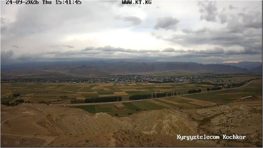
Naryn, Kyrgyzstan — 41 km
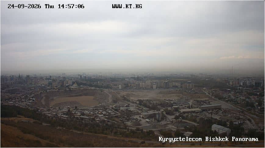
Bishkek, Kyrgyzstan — 101 km
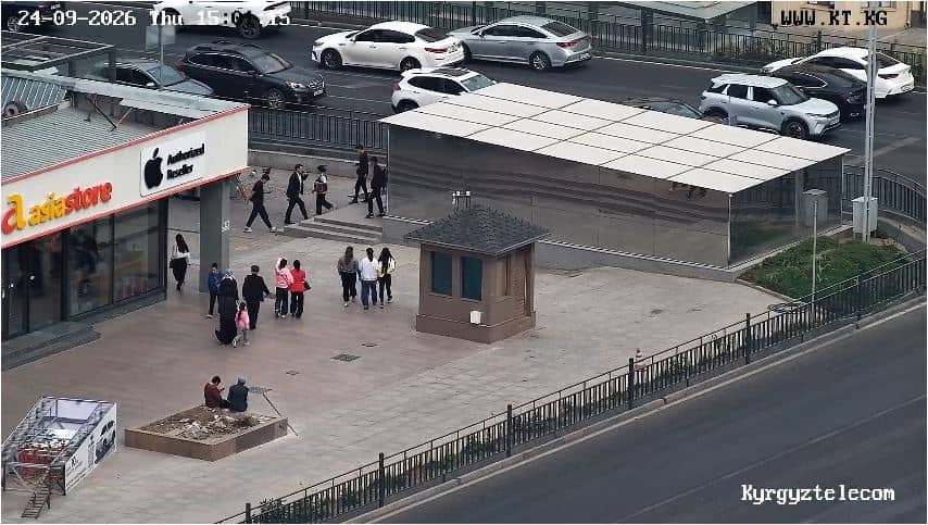
Bishkek, Kyrgyzstan — 103 km
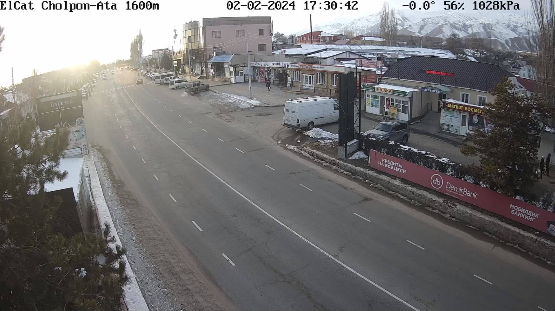
Issyk-Kul Region, Kyrgyzstan — 103 km
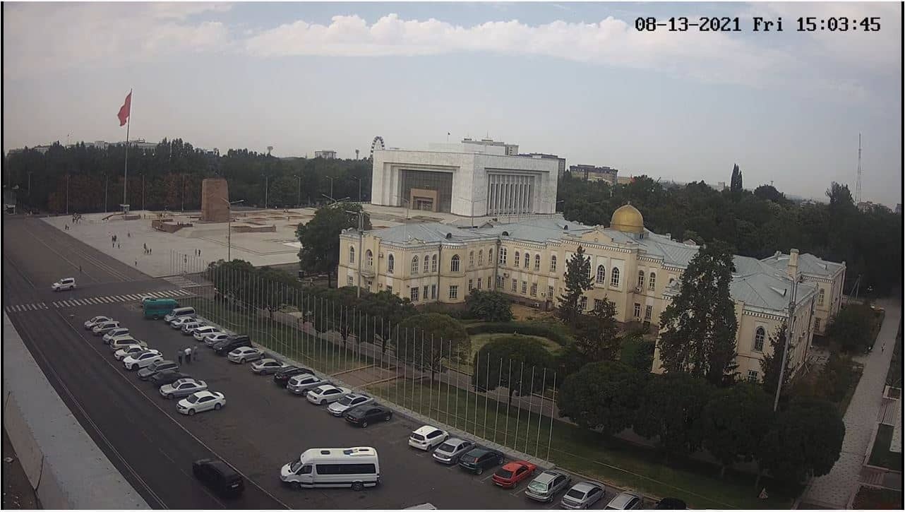
Bishkek, Kyrgyzstan — 103 km
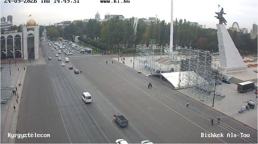
Bishkek, Kyrgyzstan — 103 km
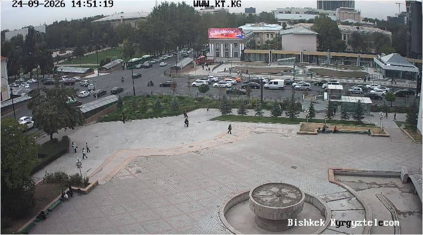
Bishkek, Kyrgyzstan — 104 km
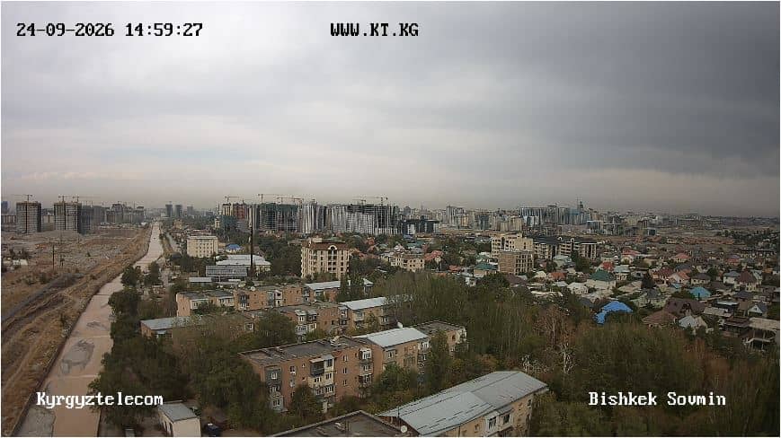
Bishkek, Kyrgyzstan — 104 km
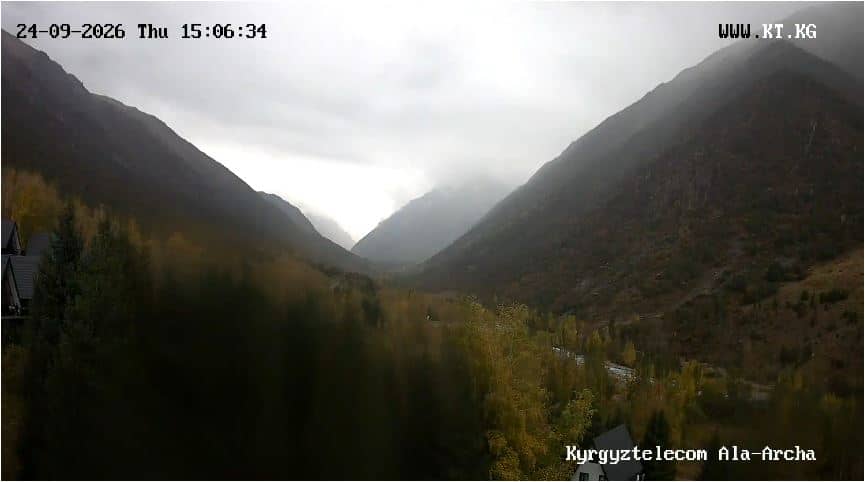
Chüy, Kyrgyzstan — 104 km
The current conditions and a three-day forecast for the area are shown in the weather block on this page. Check it before planning a trip, as mountain weather can change quickly.
The local time for the camera's location is displayed on this page and updates automatically, so you can see whether it is day or night there.
The camera is in the Chüy Region of Kyrgyzstan at about 1,509 metres altitude. The map on this page marks its position, and nearby cameras are listed below it.
Daylight hours give the clearest picture, and early morning and late afternoon bring the most dramatic light on the rock. Use the weather block to see when skies are expected to be clear.
Partner links: we may earn a commission at no extra cost to you.