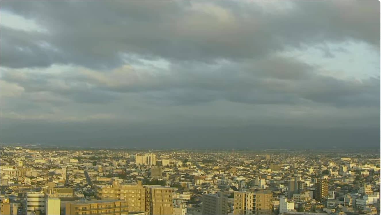
Tateyama-machi - 立山連峰東側ライブカメラ
Toyama, Japan — 0 km
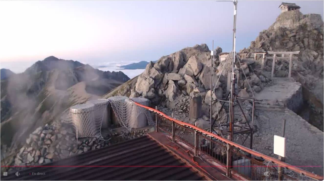
Tateyama-machi - 立山「山頂」北ライブカメラ 剱岳への稜線
🇯🇵 Toyama · Japan — Altitude 3015 m
This camera looks out from the high Tateyama range in Toyama Prefecture toward the ridgeline leading to Mount Tsurugi. It is a useful window for anyone wanting to see how the alpine terrain looks right now. The page also shows local time and the current weather with a short forecast.
Tateyama sits in the Japan Alps on the border of Toyama and Gifu prefectures, and the summit area reaches about 3,000 metres above sea level. The range is known for its steep ridges, deep valleys and the Tateyama Kurobe Alpine Route, a mountain road and cable car network that carries visitors high into the mountains. Mount Tsurugi, a sharp granite peak, is one of the region's best-known landmarks and is visible along the ridge to the south.
The camera is titled as a northern view along the ridge, so it is best suited to watching the mountain skyline, changing cloud, and the snow and rock patterns on the peaks. Conditions can shift quickly at this altitude, and the view may be partly or fully obscured by cloud for long periods. Mornings often bring the clearest air, while afternoon cloud build-up is common in summer. The image is worth checking whenever you want to judge visibility before a trip.
The mountain area has a strongly seasonal climate, with heavy snow in winter and a short, cool summer when most mountain facilities are open. Walking routes near the summit require good preparation and weather awareness. Other cameras nearby include the eastern Tateyama ridge view, the Murodo camera about two kilometres away, and the Hakuba and Omachi ski area cameras further afield.
Source: youtube.com
Toyama, Japan — 0 km
Tayoma, Japan — 2.3 km
Nagano, Japan — 21 km
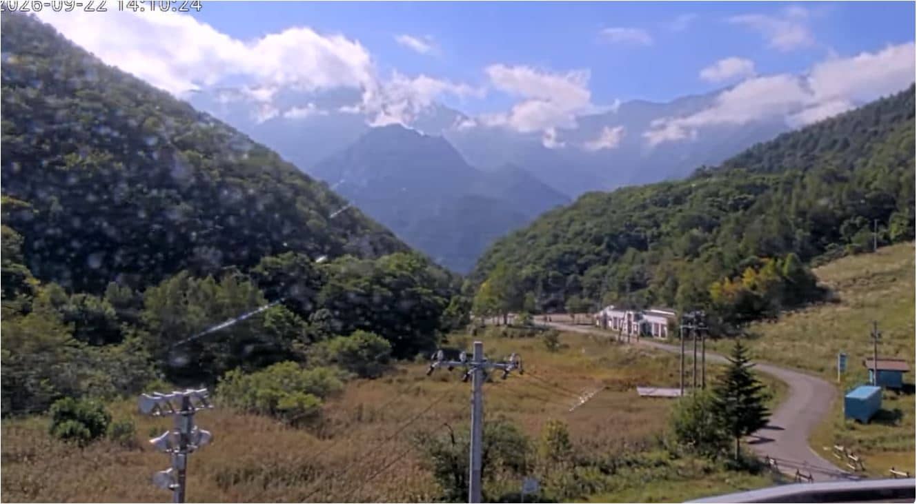
Nagano, Japan — 22 km
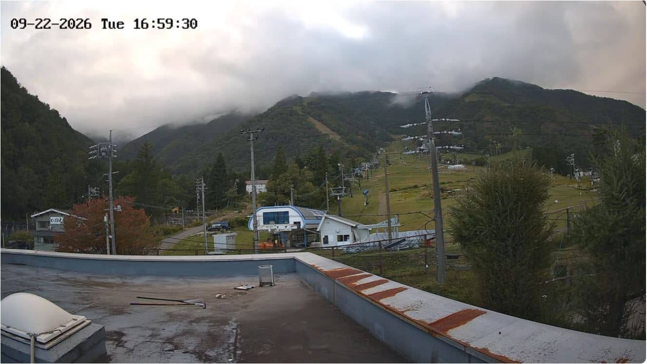
Nagano, Japan — 23 km
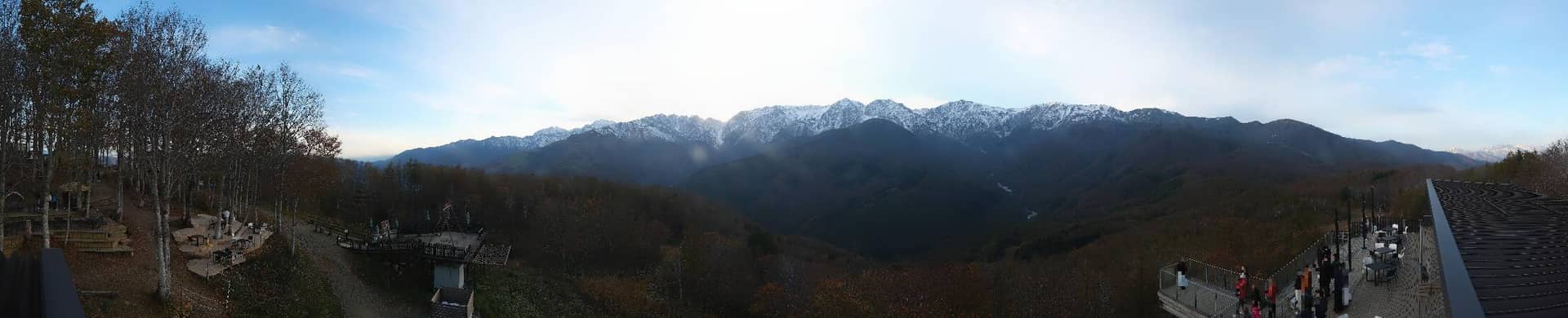
Nagano, Japan — 26 km
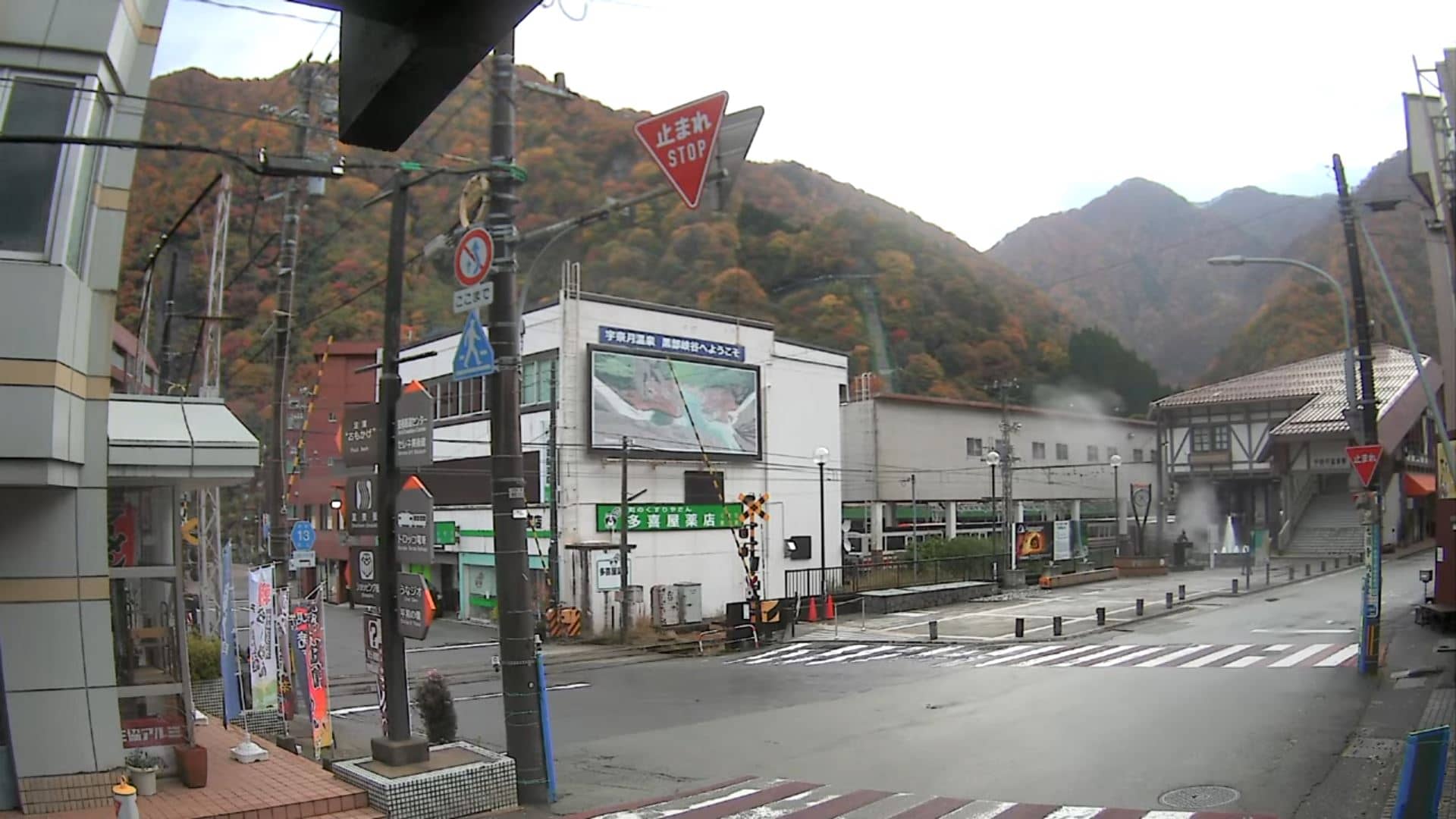
Toyama, Japan — 27 km
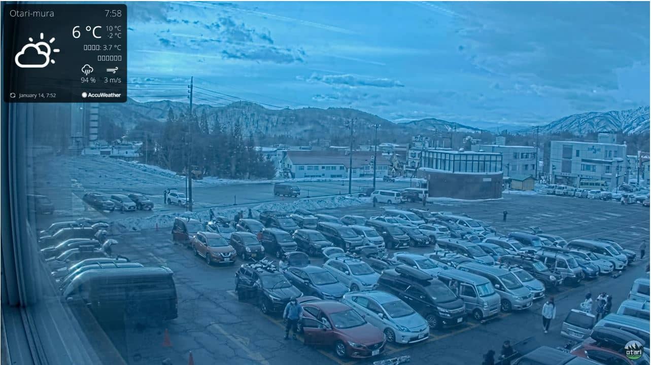
Nagano, Japan — 30 km
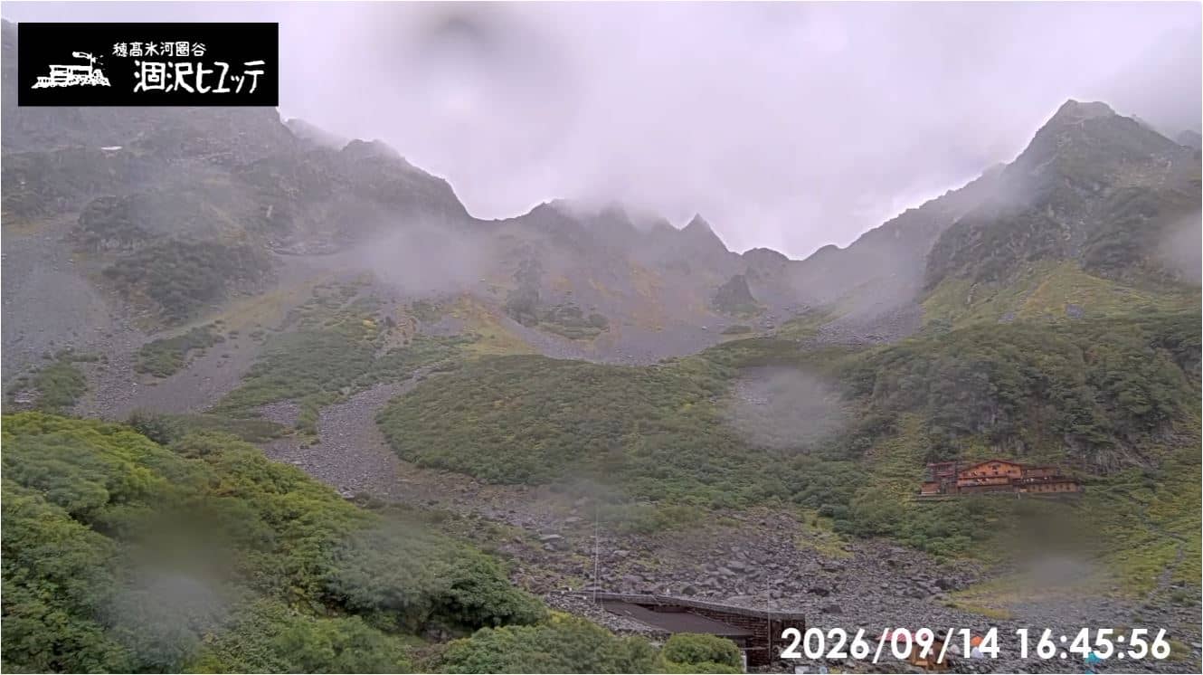
Nagano, Japan — 31 km
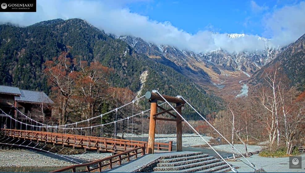
Nagano, Japan — 36 km
The current conditions and a three-day forecast are shown in the weather block on this page. Mountain weather changes quickly, so check it before planning any visit.
The local time for the camera is displayed on this page. Japan has a single time zone, so it matches the rest of the country.
The camera sits at a high altitude in the Tateyama range, in Tateyama town, Toyama Prefecture, at about 3,015 metres. The map on this page shows its precise position.
Early mornings often offer the clearest skies, and the summer months are the main season when the mountains are accessible. Winter views are dominated by snow, but cloud cover is frequent year-round.
Partner links: we may earn a commission at no extra cost to you.