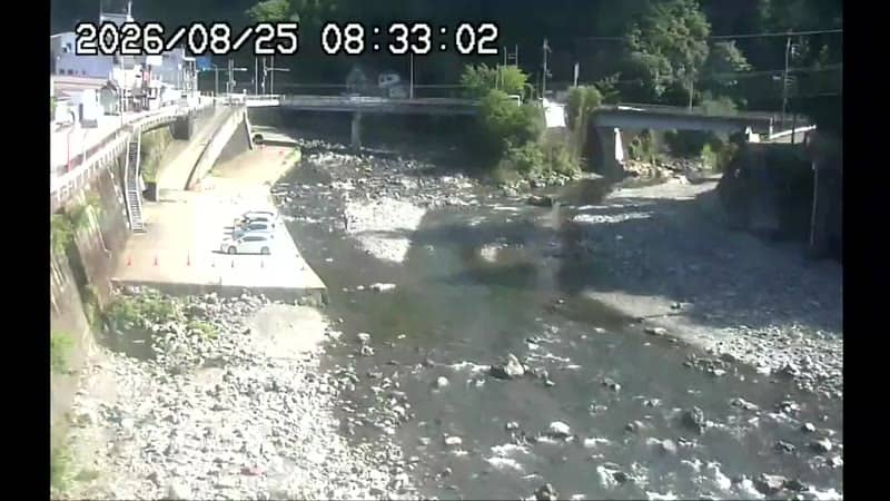
Kamikitayama - Kawai - mairie de
Nara, Japan — 1.6 km
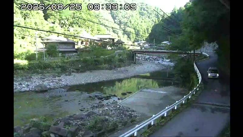
The camera is temporarily offline
The owner's stream is not available right now. Try again later or watch a camera nearby.
Kamikitayama - Kotchi - temple Ryusenji
🇯🇵 Nara · Japan — Altitude 410 m
This live stream looks toward the Kotchi area of Kamikitayama, a mountain village in the Yoshino region of Nara Prefecture, close to the Ryusenji temple. It suits anyone planning a trip to the Yoshino mountains or curious how a quiet forested village looks through the day.
Kamikitayama sits deep in the forested hills of southern Nara, far from the big cities of the Kansai region. The area is known for its cedar and cypress forests, which have been managed for timber for centuries, and for its old Buddhist temples tucked into the valleys. Ryusenji is one of the places that draws visitors who prefer quiet walks to busy sightseeing routes. The landscape is steep, green and misty for much of the year.
The camera is based on the title Kotchi, which points to a local settlement and temple setting rather than a busy street or port. Depending on the view, you may see rooftops, trees on the hillside and changing light across the valley. Watching in the early morning or late afternoon usually brings the most interesting light and mist, and autumn colours or spring blossom can change the scene noticeably.
Kamikitayama is at roughly 410 metres altitude, so it is cooler than the lowlands, with cold winters and warm, humid summers. Spring and autumn are generally the most comfortable seasons to visit. Reaching the village usually means travelling by bus or car from the Yoshino area. Other cameras in the region, such as the Kawai town hall view in Kamikitayama and the Mitarai Gorge view in Tenkawa, are nearby for comparison.
Source: komadori.ne.jp
Nara, Japan — 1.6 km
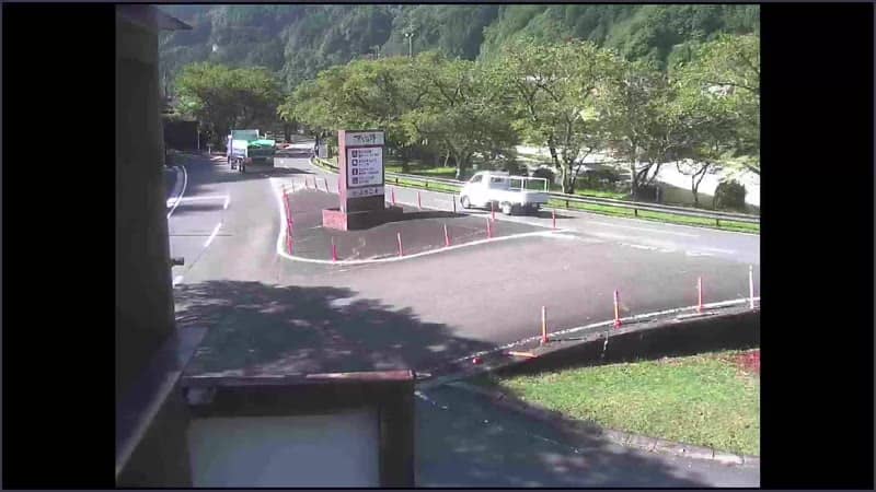
Nara, Japan — 12 km
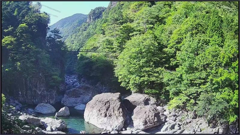
Nara, Japan — 16 km
Nara, Japan — 17 km
Nara, Japan — 24 km
Nara, Japan — 24 km
Nara, Japan — 25 km
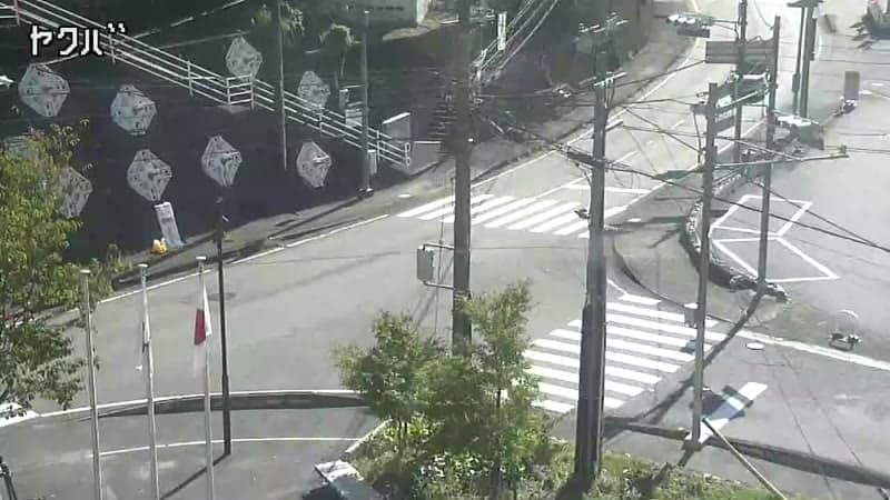
Nara, Japan — 27 km
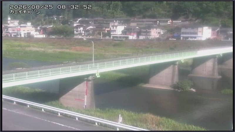
Nara, Japan — 31 km
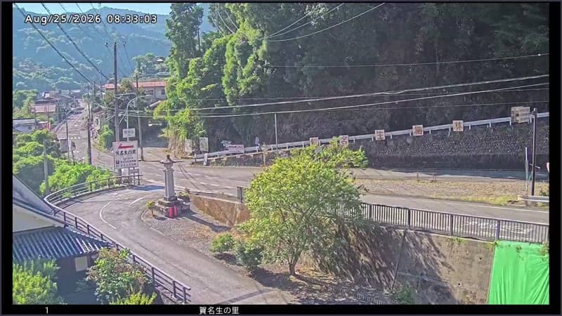
Nara, Japan — 32 km
The current conditions and a three-day forecast for Kamikitayama are shown in the live weather block on this page. Because the village is in the hills, it can be cooler and more humid than nearby towns.
The local time for Kamikitayama is shown live on this page, based on Japan Standard Time. Use it to plan when to check the stream.
The camera is in the Kotchi area of Kamikitayama in Nara Prefecture, near the Ryusenji temple, at about 410 metres altitude. The map on this page shows its position.
Early morning and late afternoon usually give the softest light and mist over the hills. Spring and autumn are the seasons when the surrounding trees look most striking.
Partner links: we may earn a commission at no extra cost to you.