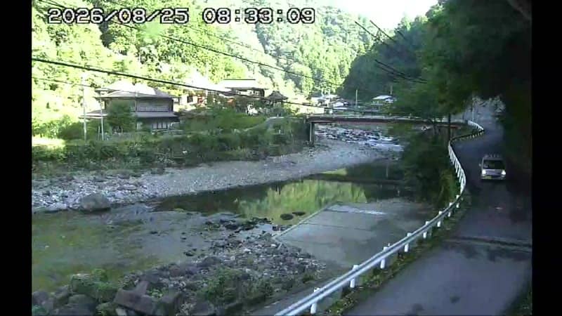
Kamikitayama - Kotchi - temple Ryusenji
Nara, Japan — 1.6 km
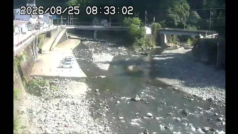
Kamikitayama - Kawai - mairie de
🇯🇵 Nara · Japan — Altitude 340 m
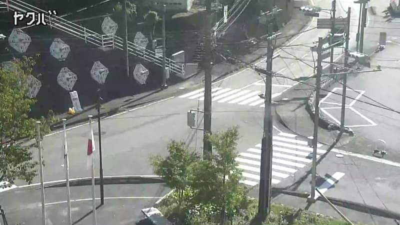
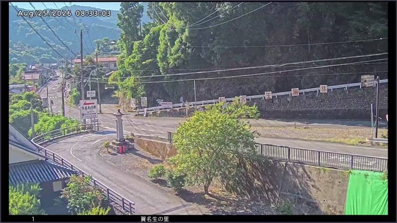
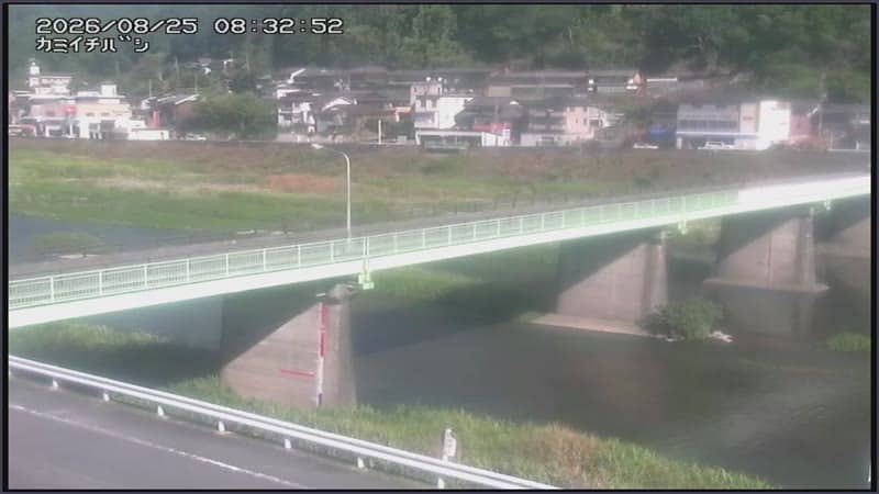
This live stream looks out from the town hall area of Kamikitayama, a small village in the mountains of Nara Prefecture. It gives a quiet, real-time view of daily life in a rural Japanese community. Visitors check it to see current conditions before travelling into the Yoshino area.
Kamikitayama sits in the upland valleys of southern Nara Prefecture, at roughly 340 metres above sea level. The area is known for forested hills, cedar and cypress plantations, and a slower pace than the big cities of the Kansai region. Its traditional character is closely tied to forestry and the rivers that run between the ridges. The village is part of the wider Yoshino region, famous for its mountain cherry trees.
Because the title names the town hall, the view is most likely centred on the municipal building and the surrounding street, though the exact framing depends on the feed. Watching in daylight shows the quiet rhythm of local traffic and weather, while spring and autumn bring changing foliage on the hills behind. Conditions such as mist in the valleys, cloud on the ridges or rain can be checked here before you decide on a visit.
Kamikitayama has a humid subtropical climate with hot summers, mild autumns and cool winters, and it can be wetter than the coast. Spring and autumn are generally the most comfortable seasons to visit. Public transport is limited in the mountains, so a car or planned bus connections are useful. The nearby Kotchi camera at Ryusenji temple, about 2 km away, offers a second view of the village.
Source: komadori.ne.jp
Nara, Japan — 1.6 km
Nara, Japan — 11 km
Nara, Japan — 15 km
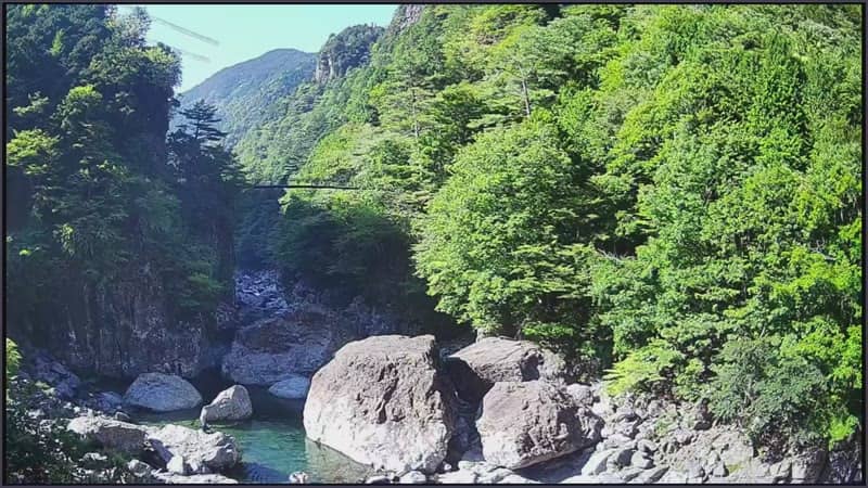
Nara, Japan — 16 km
Nara, Japan — 22 km
Nara, Japan — 23 km
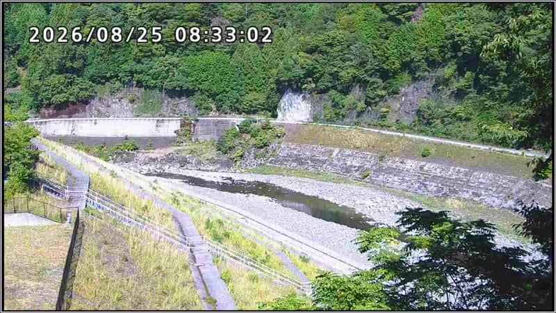
Nara, Japan — 24 km
Nara, Japan — 25 km
Nara, Japan — 32 km
Nara, Japan — 32 km
Current conditions and a three-day forecast for Kamikitayama are shown in the live weather block on this page. The values update automatically, so you can check before planning a trip.
The local time for Kamikitayama is shown in the live clock on this page, based on Japan Standard Time. It is displayed in real time next to the video player.
The camera is in Kamikitayama, in Nara Prefecture, Japan, at about 34.13 north and 136.00 east. The map on this page marks its position in the village.
Daylight hours show the most detail, and spring and autumn offer the most seasonal change on the surrounding hills. Early mornings in the valleys often show mist, which can be interesting to observe.
Partner links: we may earn a commission at no extra cost to you.