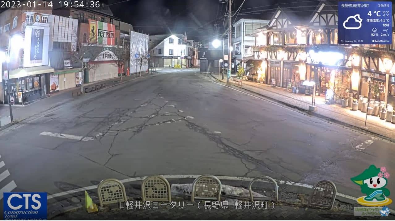
Karuizawa
Nagano, Japan — 9.1 km
Kitasaku - Mt Asama
🇯🇵 Nagano · Japan — Altitude 1259 m
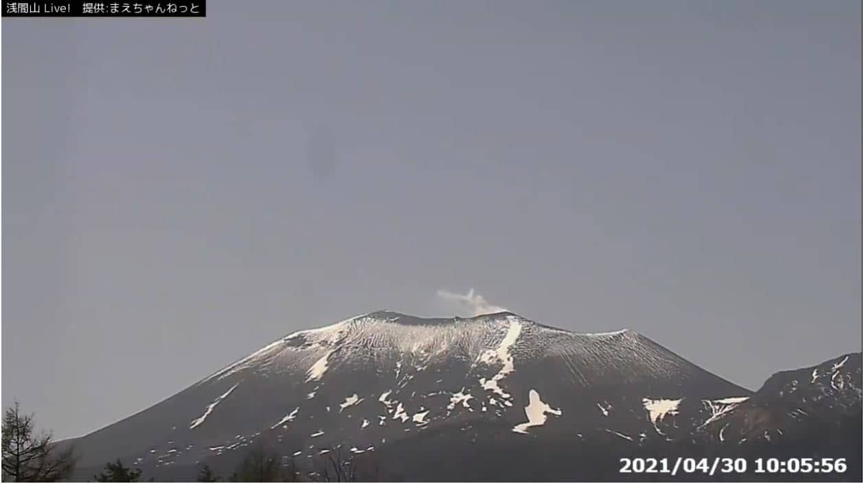
This live stream looks toward Mt Asama, one of Japan's most active volcanoes, from the town of Kitasaku in Nagano Prefecture. It is a useful way to check the mountain's current conditions and the sky over the Shinano highlands before you plan a trip.
Kitasaku sits on the northern side of the Saku basin, on the edge of the Yatsugatake and Asama volcanic area. The landscape is shaped by old lava flows, farmland and forest, with cool summers compared with the big cities of the Kanto plain. Nagano Prefecture is known for its mountains, hot springs and the historic towns along the old highways, and Asama is the dominant peak visible from much of the district.
The view centres on the mountain, so the most interesting moments depend on cloud cover, which often drifts over the summit in the afternoon. Clear mornings tend to give the sharpest outlines. In winter the slopes may carry snow, while in autumn the forests change colour. Volcanic plumes and the state of the crater are matters for official monitoring, so treat this stream as a general view rather than a warning source.
Winters in the area are cold and dry, with snow in the mountains, and spring and autumn are generally the most comfortable seasons for visiting. Kitasaku is reached by road and rail from Nagano and Karuizawa. Nearby cameras in Karuizawa, Annaka and Ueda show other parts of the region and can help you compare conditions across the district.
Source: Maechan Net Co
Nagano, Japan — 9.1 km

Nagano, Japan — 10 km
Gunma, Japan — 20 km
Nagano, Japan — 20 km
Nagano, Japan — 23 km
Nagano, Japan — 23 km
Gunma, Japan — 25 km
Nagano, Japan — 25 km
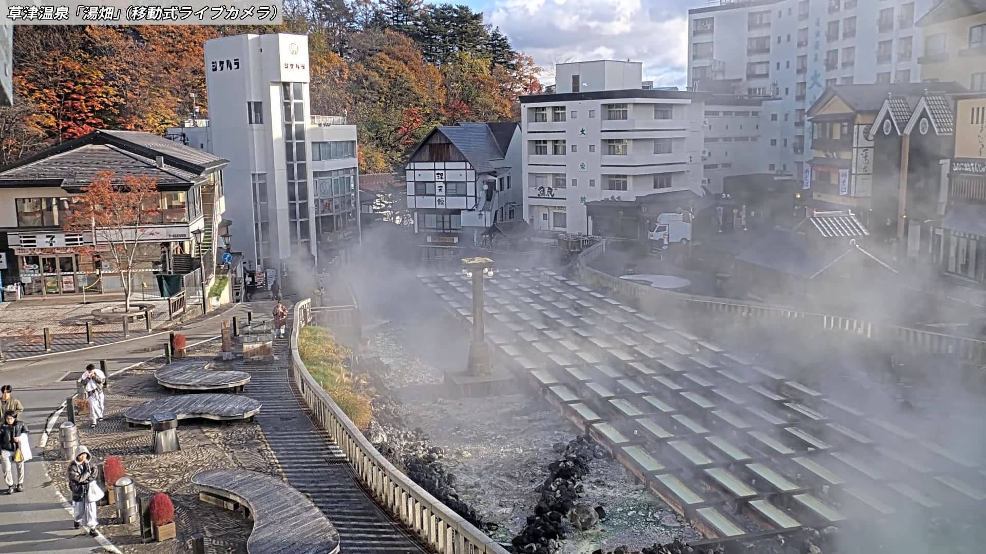
Gunma, Japan — 25 km
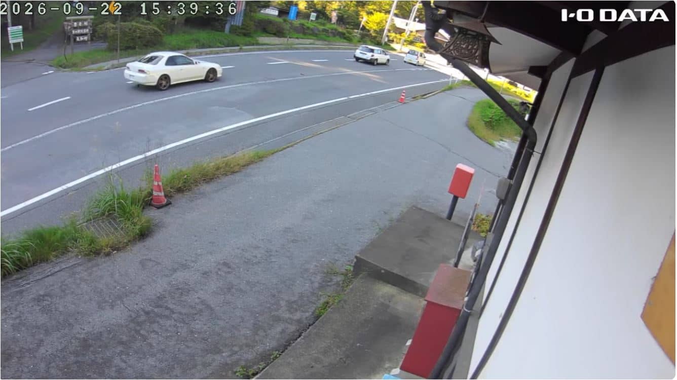
Nagano, Japan — 28 km
The current conditions for Kitasaku are shown in the live weather block on this page, including the temperature and a three-day forecast. Mountain weather can change quickly, so check it before heading out.
The local time for Kitasaku, Japan, is displayed on this page and updates live. Japan uses a single time zone for the whole country.
The camera is in Kitasaku in Nagano Prefecture, at an altitude of about 1,259 metres. The map on this page shows its position relative to the mountain and nearby towns.
Early mornings and clear days usually give the most visible view of the peak, as clouds often gather in the afternoon. Autumn and winter can also be striking when the slopes are coloured or snow-covered.
Partner links: we may earn a commission at no extra cost to you.