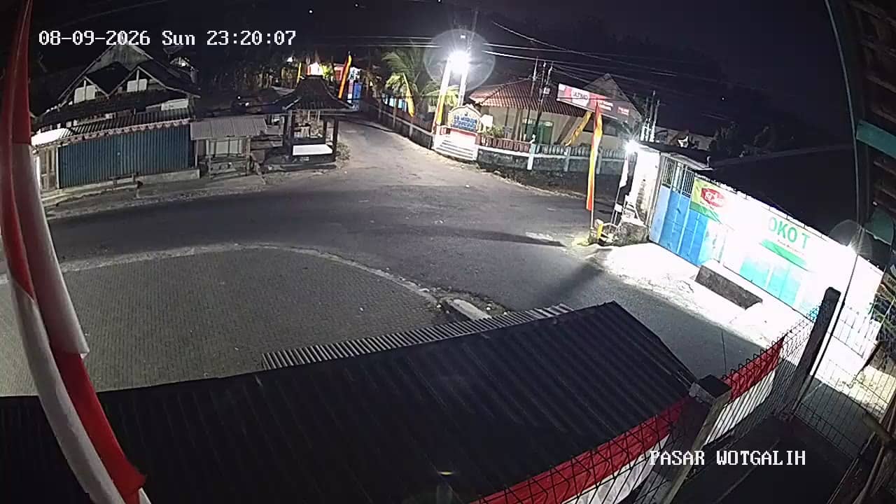
Gunungkidul - PasarWotgalih
Yogyakarta, Indonesia — 3.3 km

The camera is temporarily offline
The owner's stream is not available right now. Try again later or watch a camera nearby.
Gunungkidul - EmbungBataraSriten
🇮🇩 Yogyakarta · Indonesia — Altitude 805 m
This live stream looks over the Embung Batara Sriten area in Gunungkidul, a regency south of Yogyakarta on Java. It is useful for seeing current light, cloud and rainfall conditions in a part of the province that is often overlooked by visitors heading to the city.
Gunungkidul covers a large part of the southern hills of Yogyakarta Special Region. The landscape is shaped by limestone, with karst ridges, dry valleys and caves, and water is traditionally scarce, which is why small reservoirs called embung were built to collect rainwater. Sriten sits at roughly 800 metres above sea level, so the air is usually cooler than in the lowland city. The area is known for its quiet rural life, farming and a slower pace than Yogyakarta.
The camera is most useful for checking how the weather is developing over the hills. Afternoon clouds often build over the highlands during the rainy season, from roughly November to March, so this is a good time to see whether showers are forming. Early morning in the dry season, from around April to October, tends to be clearer and calmer. Because the view depends on the exact angle and conditions, it is best to watch for changes in cloud and light rather than expecting any specific feature.
The local climate is tropical, with warm days and cooler nights at this elevation. The dry months are generally the most comfortable for travel on the region's roads. Nearby cameras on this site include Pasar Wotgalih, about 3 km away, and Puskesmas Gedangsari II, about 5 km away, which can help you compare conditions across the area. Check the live weather block on this page before planning a trip.
Source: cctv.jogjaprov.go.id
Yogyakarta, Indonesia — 3.3 km

Yogyakarta, Indonesia — 5.5 km
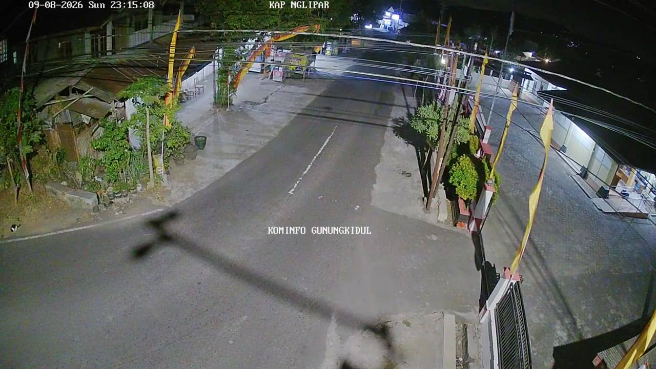
Yogyakarta, Indonesia — 5.6 km
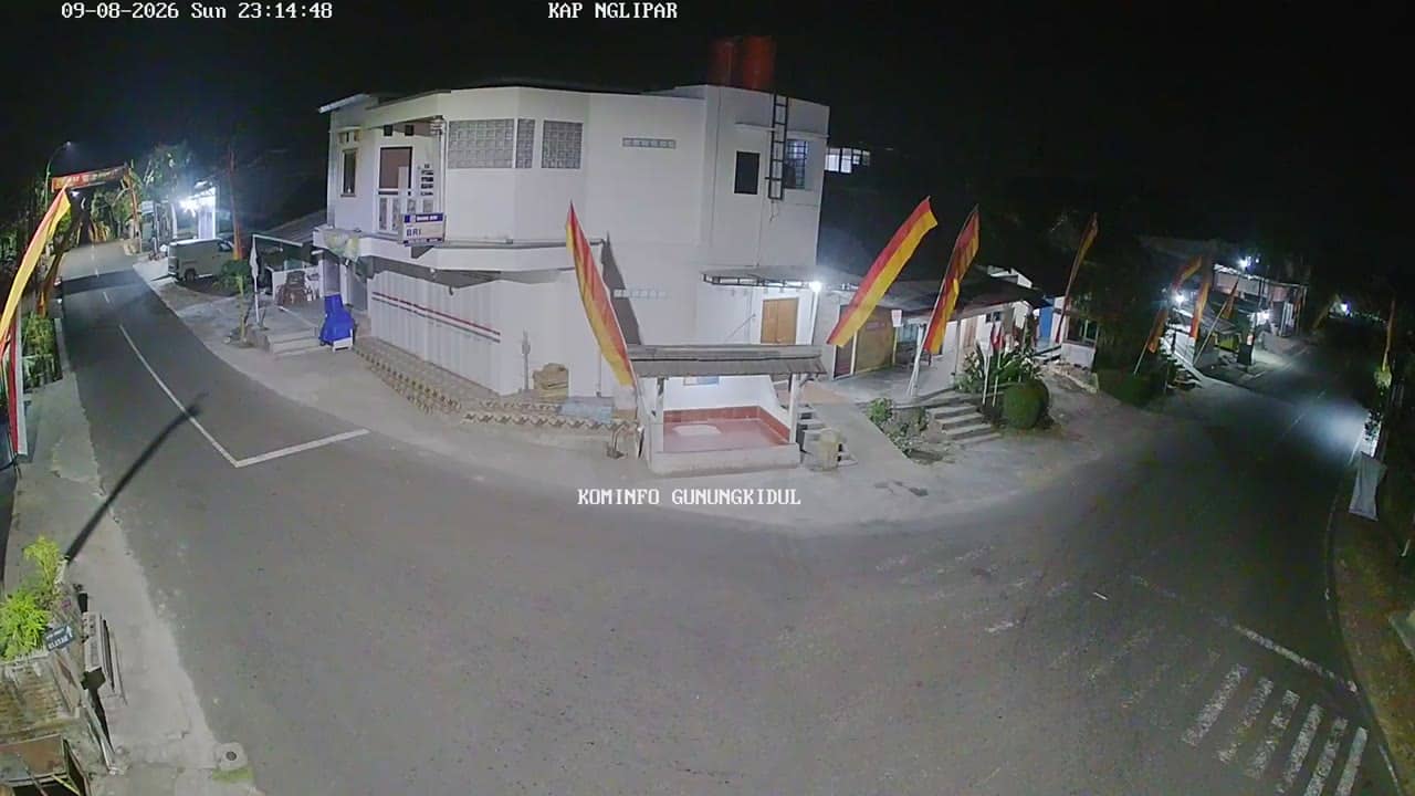
Yogyakarta, Indonesia — 5.6 km
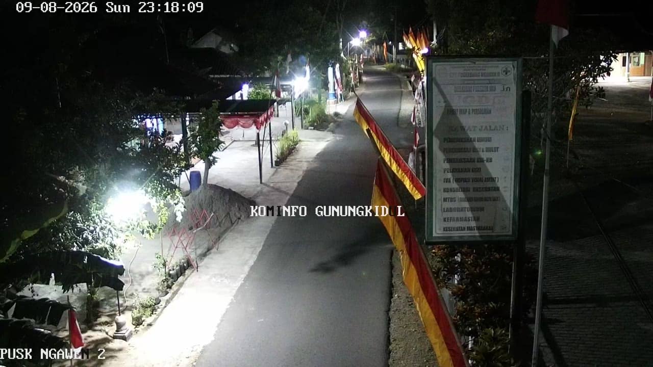
Yogyakarta, Indonesia — 6.5 km

Yogyakarta, Indonesia — 7.5 km

Yogyakarta, Indonesia — 7.5 km
Yogyakarta, Indonesia — 8.3 km
Yogyakarta, Indonesia — 8.3 km
Yogyakarta, Indonesia — 9.6 km
The live weather block on this page shows the current conditions for Gunungkidul and a three-day forecast. Values update automatically, so you do not need to check another site.
The local time is shown on the page and updates live. Indonesia uses several time zones, and the local time for this area is displayed in the page header.
The camera is in the Sriten area of Gunungkidul regency, in the hills south of Yogyakarta, at about 805 metres altitude. The map on this page marks its position.
Early mornings in the dry season are usually clearest, while afternoons in the rainy season often show developing clouds over the hills. Conditions vary, so the live view is the best guide.
Partner links: we may earn a commission at no extra cost to you.