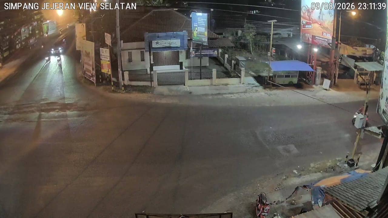
Bantul - SimpangJejeranSelatan
Yogyakarta, Indonesia — 0 km
The camera is temporarily offline
The owner's stream is not available right now. Try again later or watch a camera nearby.
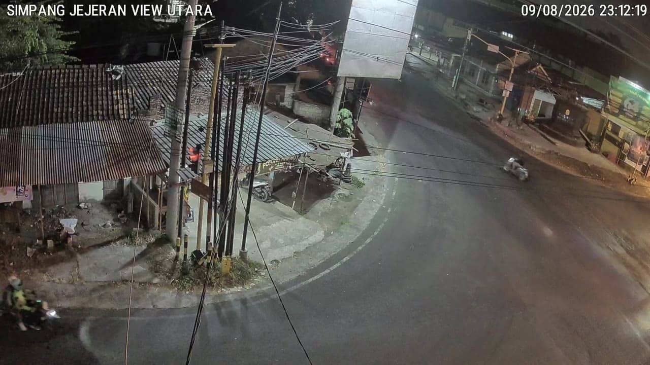
Bantul - SimpangJejeranUtara
🇮🇩 Yogyakarta · Indonesia — Altitude 52 m
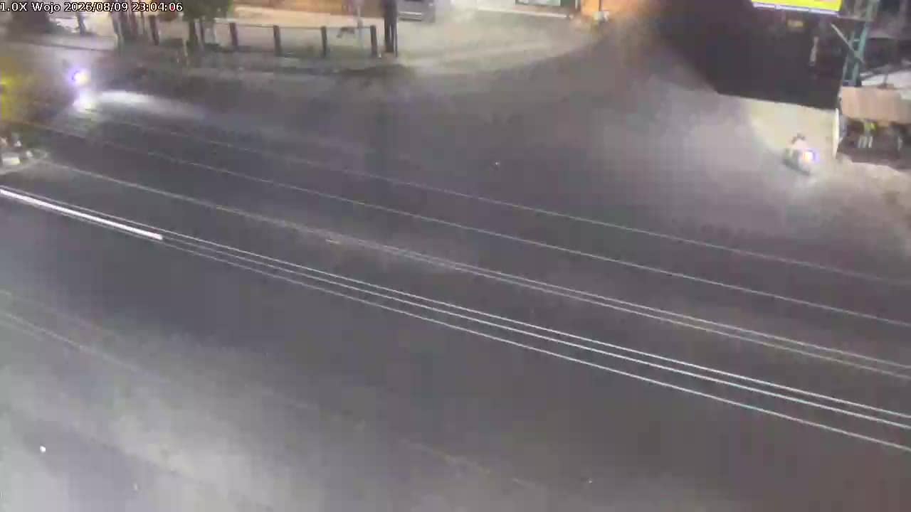
This camera looks at a busy crossroads in Bantul, a regency just south of Yogyakarta on Java. It is a traffic feed, so it shows the flow of vehicles and motorbikes through the junction rather than a scenic view. People watch it to judge how busy the roads are before heading out.
Bantul lies on the southern plain of Yogyakarta province, between the city of Yogyakarta and the Indian Ocean coast. The area is known for its agriculture, rice fields, craft traditions and its proximity to historic sites around Yogyakarta. The land is flat and low, at about 52 metres above sea level, which makes the district a natural route for traffic moving between the city and the south.
As a traffic camera, the feed focuses on vehicles, scooters and the rhythm of the junction. Activity is usually heaviest during the morning and late afternoon commute, and around midday when people travel between work and home. Night views depend on street lighting, so the picture may be less clear after dark. Check the live stream to see how the junction is moving right now.
Yogyakarta has a tropical climate with warm temperatures year round and a wet season from roughly November to March, which can bring heavy rain and slower roads. Dry months from May to September are generally more comfortable for travel. Nearby feeds include Simpang Jejeran Selatan, Jejeran and two cameras near Sultan Agung Stadium, which together help you follow traffic across the area.
Source: cctv.jogjaprov.go.id
Yogyakarta, Indonesia — 0 km
Yogyakarta, Indonesia — 0 km

Yogyakarta, Indonesia — 0.9 km

Yogyakarta, Indonesia — 0.9 km

Yogyakarta, Indonesia — 1.3 km

Yogyakarta, Indonesia — 3.8 km
Yogyakarta, Indonesia — 3.8 km
Yogyakarta, Indonesia — 4.2 km

Yogyakarta, Indonesia — 4.6 km

Yogyakarta, Indonesia — 4.6 km
The current conditions and three-day forecast for Bantul are shown in the live weather block on this page. They update with the page, so you can check them alongside the traffic view.
The local time for Bantul is displayed on this page and follows Western Indonesia time. It is useful for matching the camera feed to the time of day.
The camera is at the Simpang Jejeran Utara junction in Bantul, Yogyakarta, Indonesia. A map on the page shows its location and the nearby cameras.
Weekday mornings and late afternoons usually show the heaviest traffic. Midday and evenings are quieter, though conditions depend on the day and any local events.
Partner links: we may earn a commission at no extra cost to you.