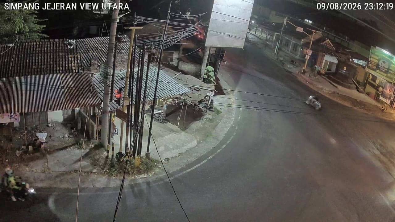
Bantul - SimpangJejeranUtara
Yogyakarta, Indonesia — 0 km
The camera is temporarily offline
The owner's stream is not available right now. Try again later or watch a camera nearby.
Bantul - Jejeran
🇮🇩 Yogyakarta · Indonesia — Altitude 52 m
This live stream shows traffic at a junction in Jejeran, on the southern edge of Bantul, a regency close to the city of Yogyakarta on Java. It is useful for anyone planning a trip through the area who wants to see how busy the road is before setting off.
Bantul is a regency just south of Yogyakarta, the cultural centre of central Java. The landscape around it is flat to gently rolling, with rice fields, village lanes and a growing number of homes and shops along the main roads. Jejeran sits on the routes that link the regency with the city and the surrounding districts, so the area carries a steady mix of commuters, delivery vehicles and visitors heading toward Yogyakarta's attractions.
The camera is focused on road traffic, so the view is best suited to checking flow, congestion and general conditions rather than scenery. Movement is usually heaviest during the morning and late afternoon commute, and around midday on busy days. Weather can change the picture quickly, and heavy tropical rain often slows traffic. Because the feed is a live stream, the image may pause or lag at times, depending on the connection.
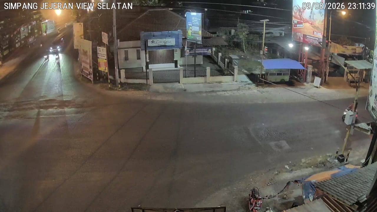
Yogyakarta has a tropical climate with warm temperatures through the year and a wet season from roughly November to March, when afternoon downpours are common. The dry months from around April to October are generally more comfortable for travel. Nearby traffic cameras at Simpang Jejeran Utara, Simpang Jejeran Selatan and the eastern side of Stadion Sultan Agung can help you compare conditions on different stretches of road before you leave.
Source: cctv.jogjaprov.go.id
Yogyakarta, Indonesia — 0 km
Yogyakarta, Indonesia — 0 km

Yogyakarta, Indonesia — 0.9 km

Yogyakarta, Indonesia — 1 km

Yogyakarta, Indonesia — 1.3 km

Yogyakarta, Indonesia — 3.7 km
Yogyakarta, Indonesia — 3.7 km

Yogyakarta, Indonesia — 4.2 km

Yogyakarta, Indonesia — 4.5 km

Yogyakarta, Indonesia — 4.5 km
The current conditions and a three-day forecast for Bantul are shown in the live weather block on this page. The figures update automatically, so you can check them before heading out.
The local time for Bantul is displayed on this page and updates live. Indonesia uses several time zones, and this page shows the time that applies to this location.
The camera is at a junction in Jejeran, in the southern part of Bantul regency near Yogyakarta, Java. The map on this page marks its position so you can see the surrounding roads.
Weekday mornings and late afternoons usually show the heaviest traffic. Watching during these periods gives the clearest sense of how busy the junction gets.
Partner links: we may earn a commission at no extra cost to you.