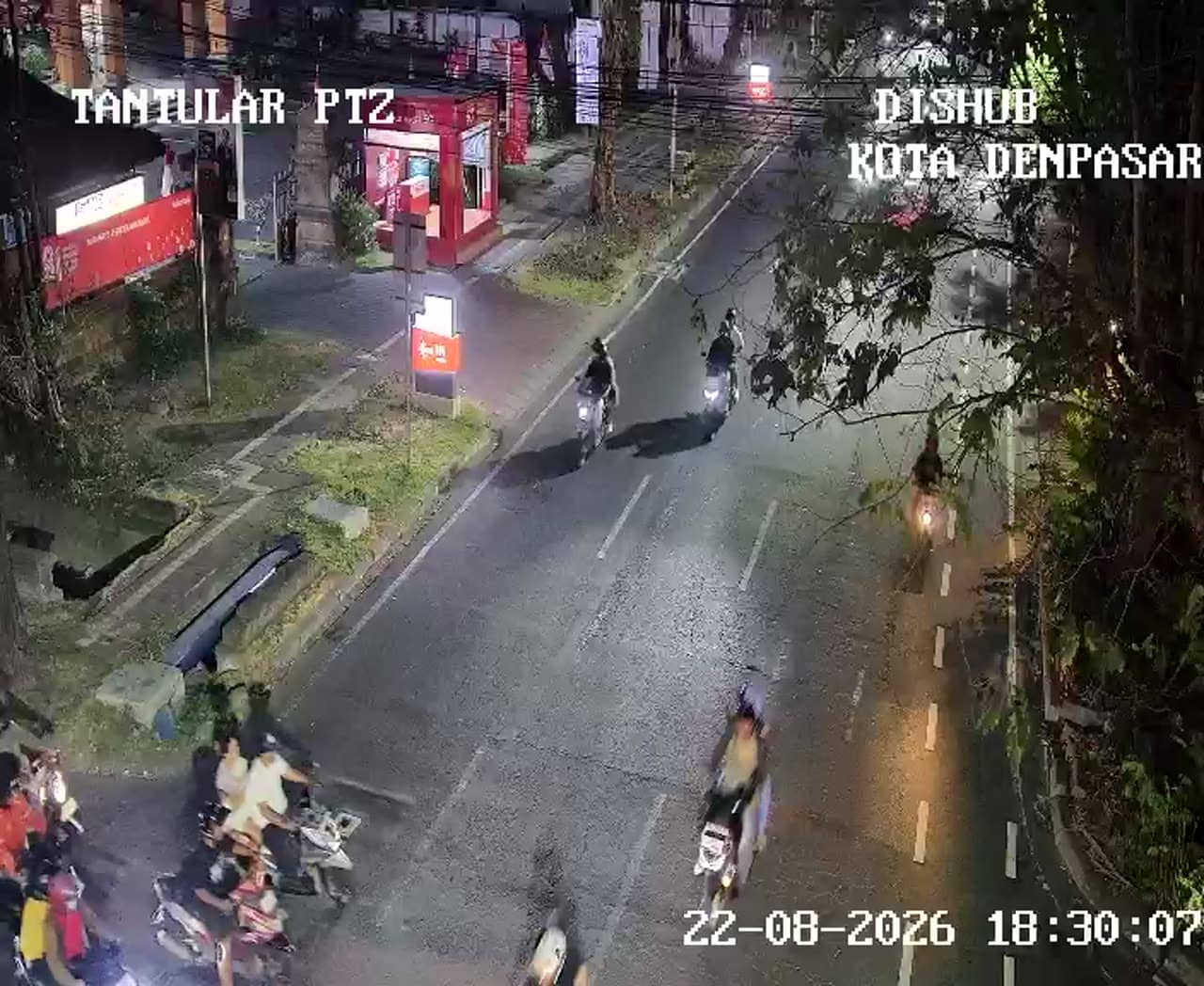
Denpasar - Simpang Raya Puputan - Tantular
Bali, Indonesia — 0 km
The camera is temporarily offline
The owner's stream is not available right now. Try again later or watch a camera nearby.
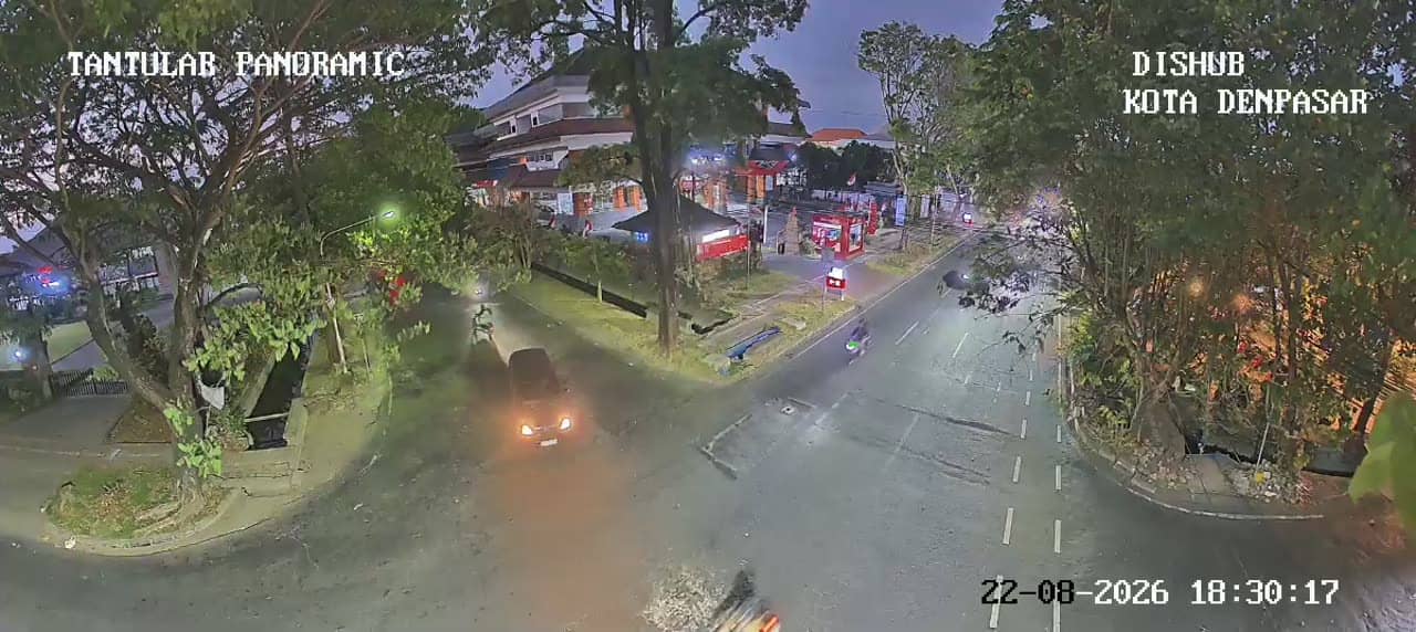
Denpasar - Simpang Raya Puputan - Tantular - Raya Puputan - Tantular Panoramic
🇮🇩 Bali · Indonesia — Altitude 14 m
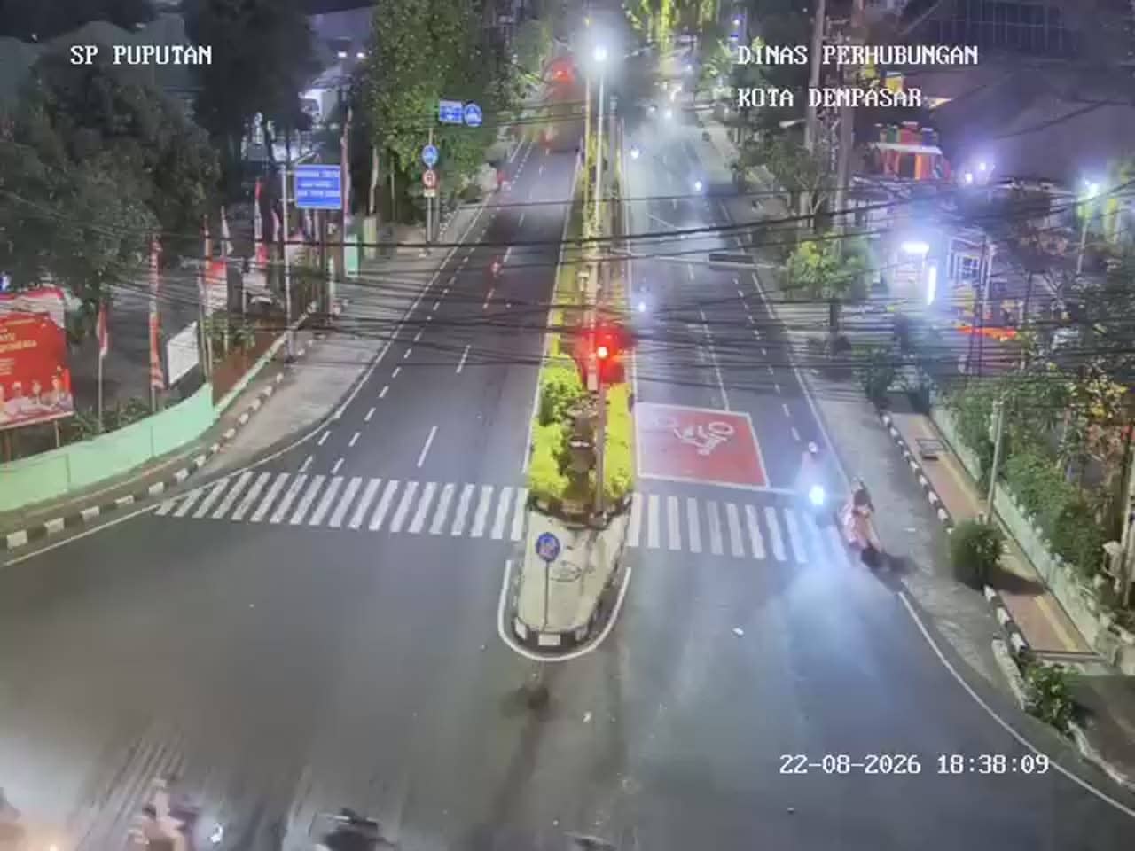
This live camera looks down on one of the busiest junctions in Bali's capital, where Puputan and Tantular roads meet. It is a practical window for anyone wanting to gauge traffic flow in Denpasar before travelling. The panoramic framing also gives a sense of the city's scale and daily rhythm.
Denpasar is the administrative and commercial centre of Bali, and the Puputan name refers to the historic square that commemorates the 1906 resistance against Dutch forces. The city sits on the island's southern plain, and it is far more urban than the beach resorts most visitors associate with Bali. Its streets carry government offices, shops, markets and a steady stream of scooters and cars. Watching this junction gives a more grounded picture of everyday life on the island than the tourist images usually do.
The stream is a traffic camera, so its value lies in movement: vehicle queues, the flow of scooters and the timing of signals at the crossing. Mornings and late afternoons tend to be the busiest, when commuters and school traffic peak. Midday can be calmer, though rush patterns vary by day. Depending on the view, you may also notice the greenery and sky changing with the weather, which is worth watching during the rainy season.
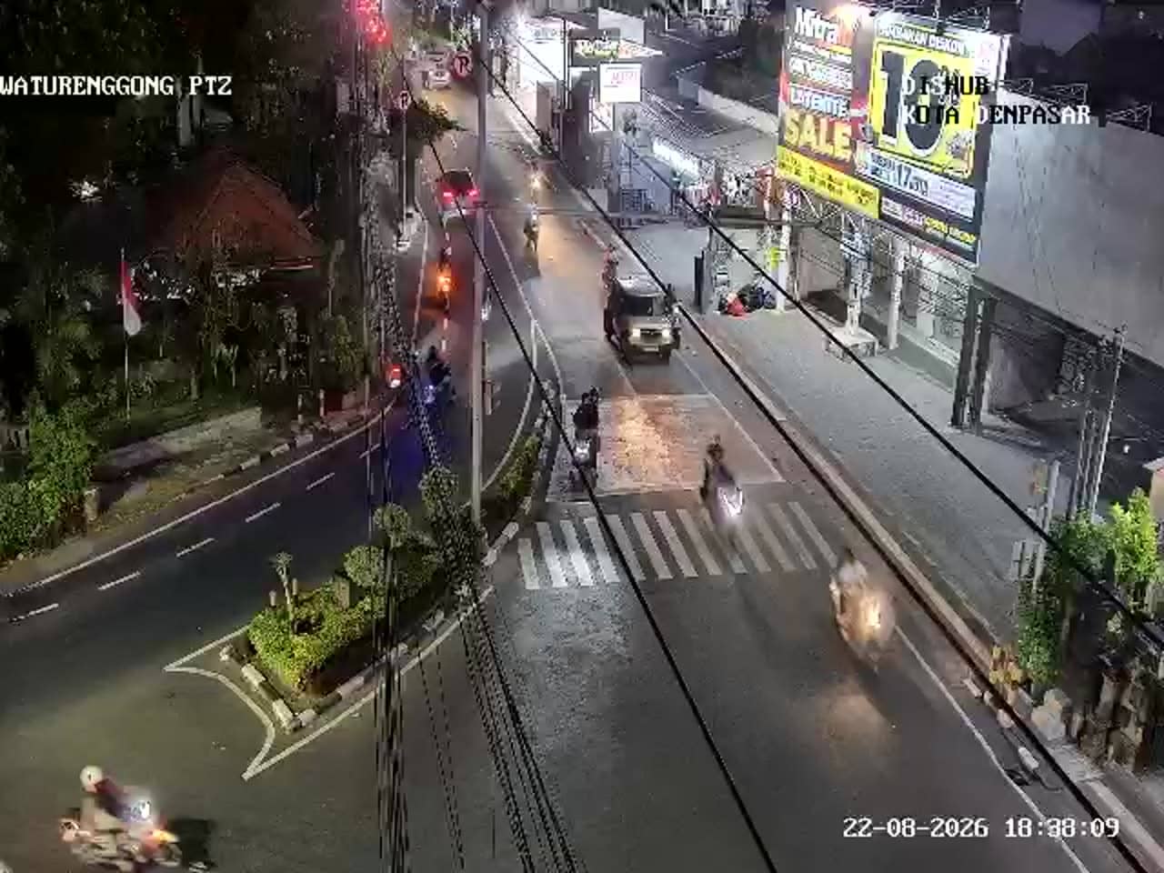
Denpasar has a tropical climate with a warm, humid year round and a wetter season from roughly November to March, while the dry months from April to October are usually more comfortable for travel. The city is close to the airport and to many parts of southern Bali, but traffic at central junctions can be slow at peak hours. Nearby cameras on this network cover the Puputan road, Tukad Unda and Waturenggong areas, which you can use to compare conditions across the centre.
Source: atcs.denpasarkota.go.id
Bali, Indonesia — 0 km
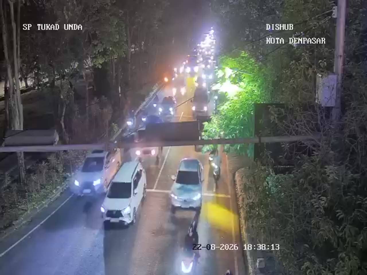
Bali, Indonesia — 0.4 km
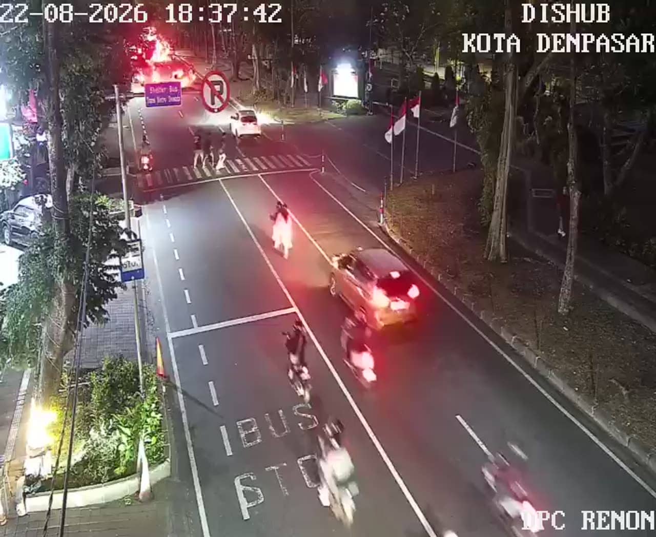
Bali, Indonesia — 0.7 km

Bali, Indonesia — 0.7 km
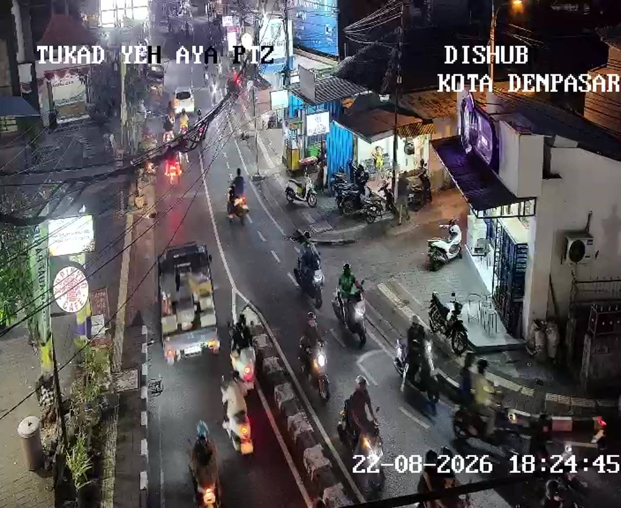
Bali, Indonesia — 0.7 km
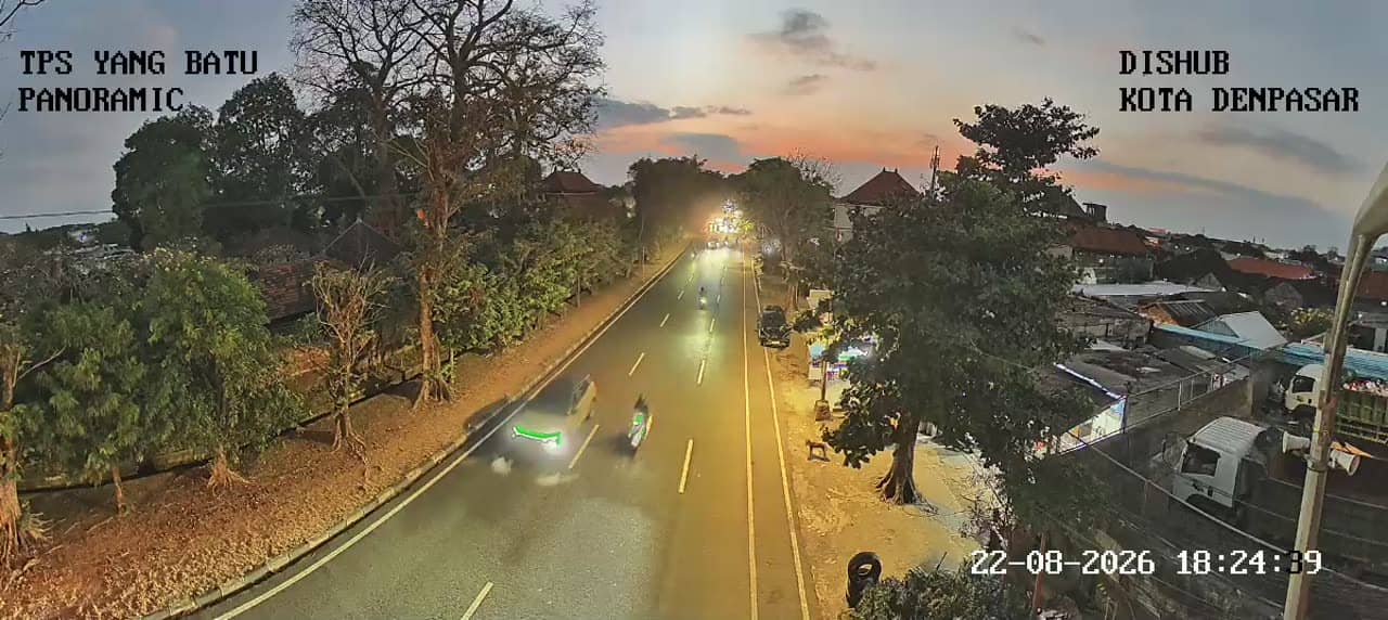
Bali, Indonesia — 0.8 km
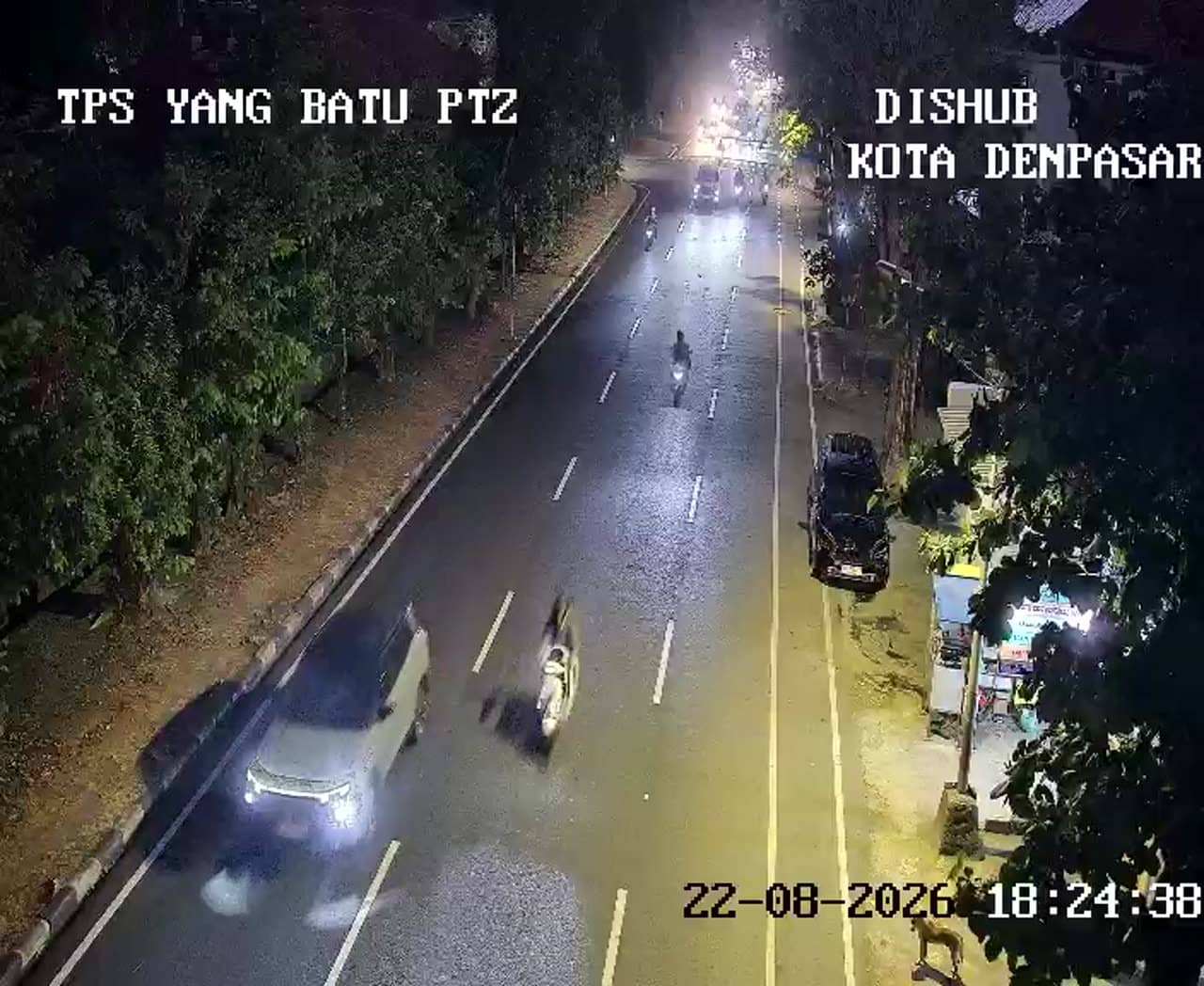
Bali, Indonesia — 0.8 km
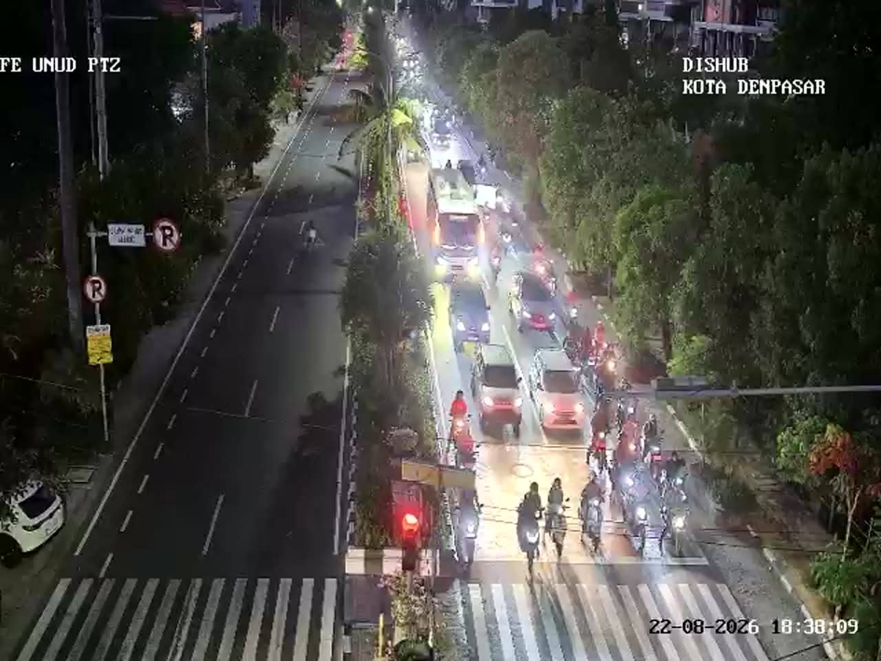
Bali, Indonesia — 1.1 km
Bali, Indonesia — 1.2 km
Bali, Indonesia — 1.3 km
The current conditions and a three-day forecast for Denpasar are shown in the weather block on this page and update automatically. They reflect the latest available data for the city.
The local time for Denpasar is displayed on this page and follows the city's own clock. It is useful for planning when to check traffic against your own time zone.
The camera overlooks the Puputan and Tantular crossroads in central Denpasar, the capital of Bali. The map on this page marks its position and shows the surrounding streets.
Weekday mornings and late afternoons usually show the heaviest traffic, while midday tends to be quieter. Watching during the dry season gives the clearest sky and most stable conditions.
Partner links: we may earn a commission at no extra cost to you.