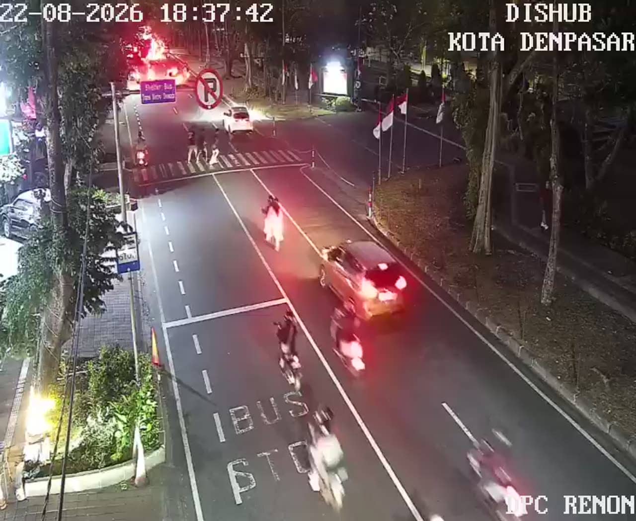
Denpasar - Jalan Raya Puputan
Bali, Indonesia — 0.2 km
The camera is temporarily offline
The owner's stream is not available right now. Try again later or watch a camera nearby.
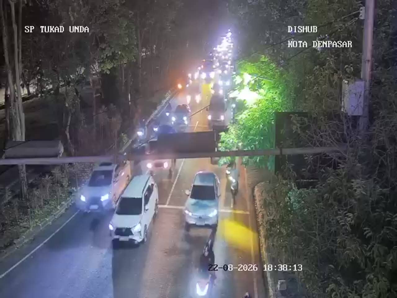
Denpasar - Simpang Raya Puputan - Tukad Unda
🇮🇩 Bali · Indonesia — Altitude 17 m
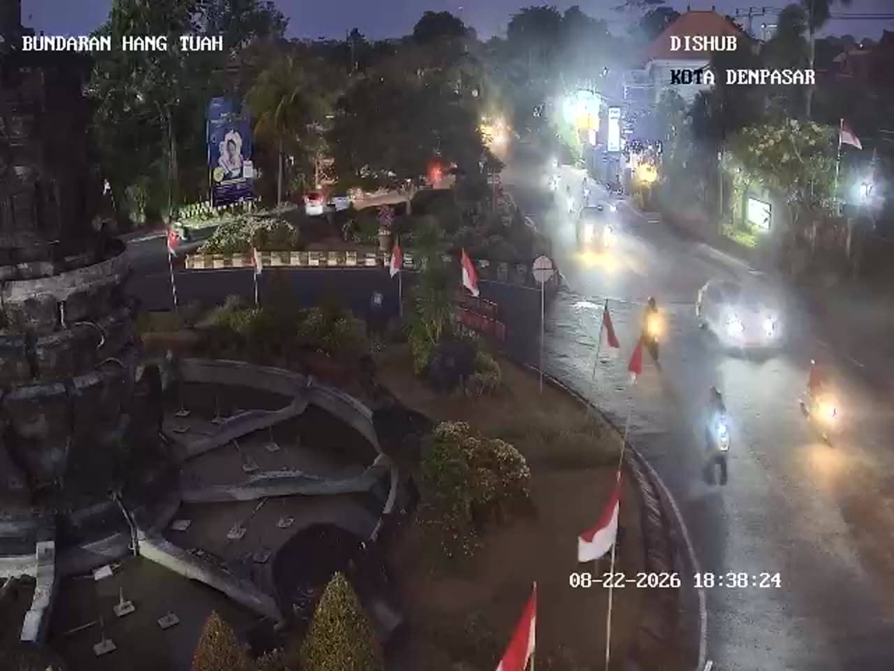
This live feed looks out over one of the busiest road junctions in Bali's capital, where the Puputan crossroads meet the approach to the Tukad Unda area. It suits anyone planning a drive through Denpasar, or those who simply want to see how traffic moves through the city in real time.
Denpasar is the administrative capital of Bali and the island's largest urban centre, home to government offices, markets and a dense network of roads. Puputan refers to the historic square and monument a short distance from this junction, a place tied to the island's modern history. The city is busier and more commercial than the coastal resorts, with a steady mix of scooters, minibuses and cars moving through its main intersections throughout the day.
Because this is a traffic camera, the most useful thing to observe is the flow of vehicles: how queues build at signals, how quickly the junction clears, and how motorbikes weave through gaps. Mid-morning and late afternoon on weekdays tend to be the busiest periods, while early mornings and evenings are usually calmer. Rain can slow movement noticeably, so the feed is a good way to judge conditions before heading out.
Denpasar has a tropical climate with warm temperatures year round, a wetter season from roughly November to March and a drier season from April to October. Traffic is heaviest on weekday rush hours and around local holidays. Nearby cameras cover Jalan Raya Puputan, the Puputan Tantular crossing and the Waturenggong junction, so you can compare several points in the same part of the city.
Source: atcs.denpasarkota.go.id
Bali, Indonesia — 0.2 km
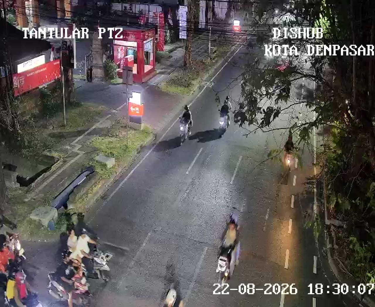
Bali, Indonesia — 0.4 km
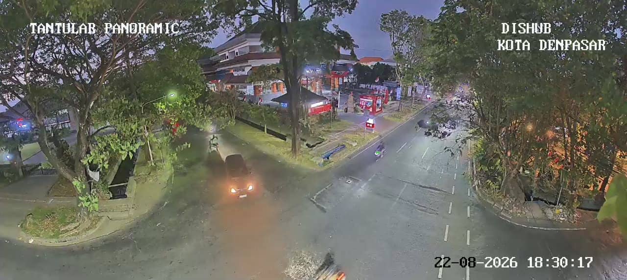
Bali, Indonesia — 0.4 km
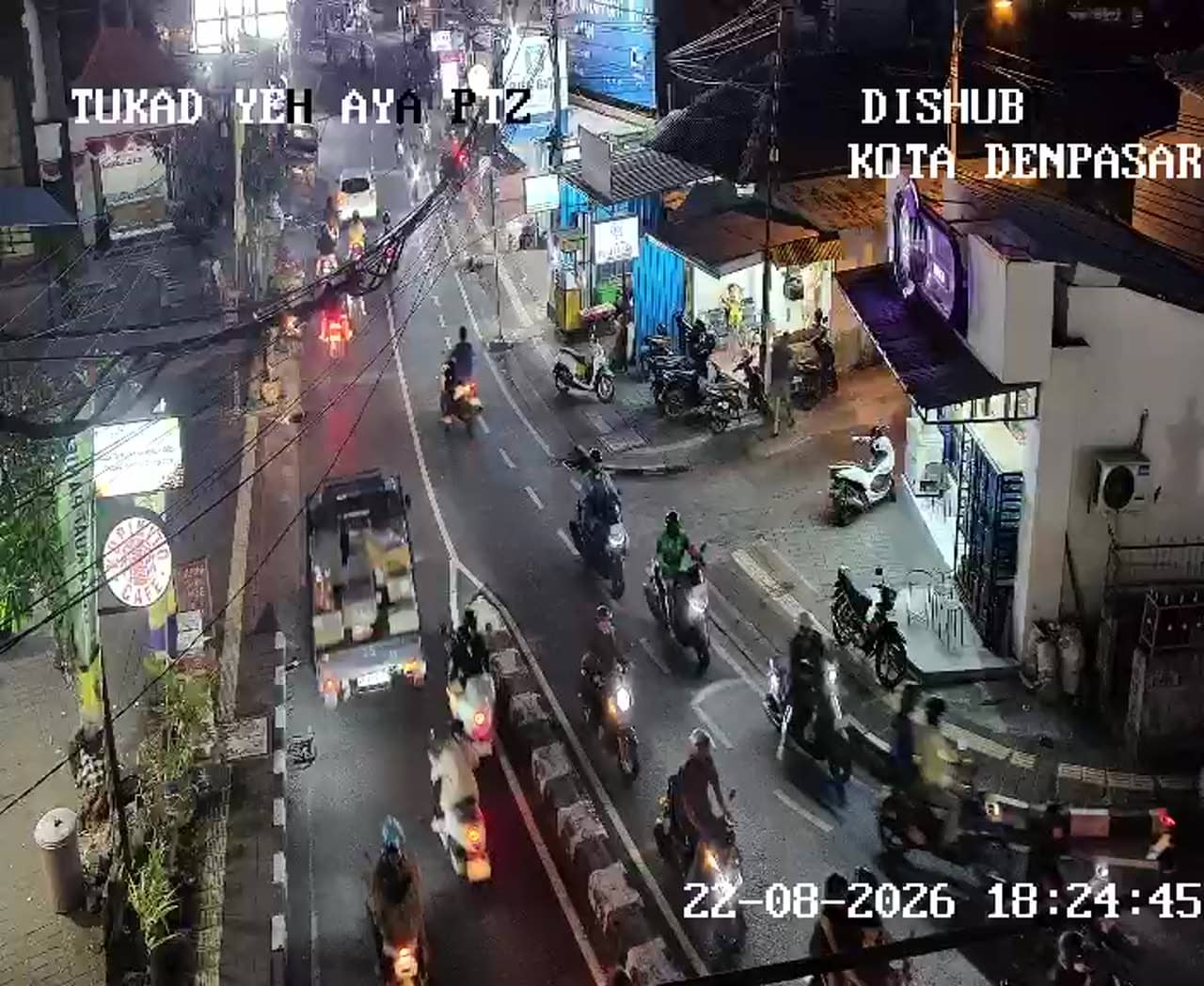
Bali, Indonesia — 0.9 km

Bali, Indonesia — 0.9 km
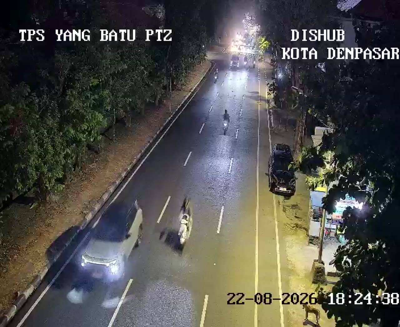
Bali, Indonesia — 1.1 km
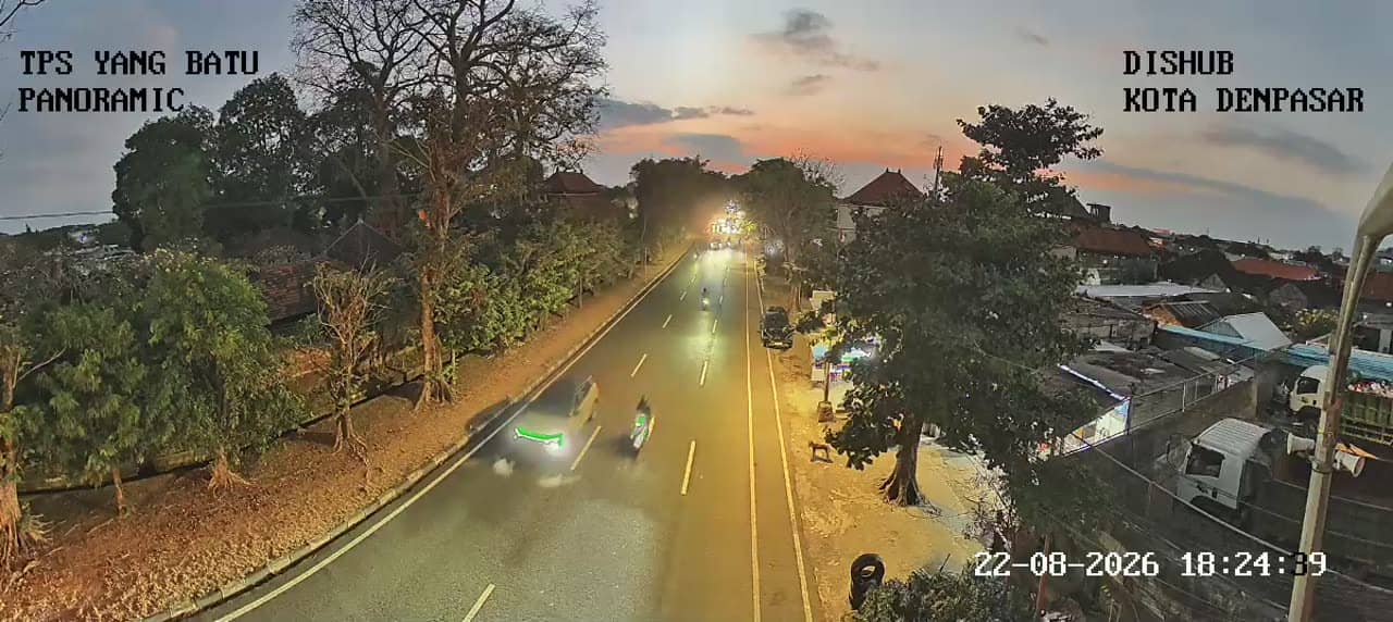
Bali, Indonesia — 1.1 km
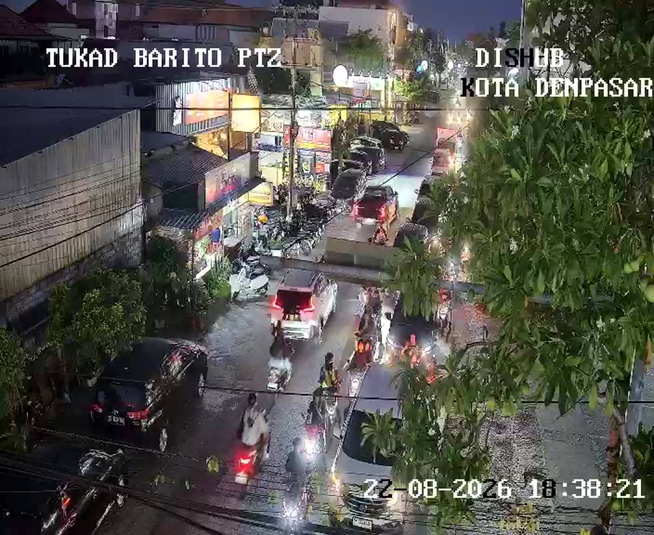
Bali, Indonesia — 1.3 km
Bali, Indonesia — 1.4 km

Bali, Indonesia — 1.4 km
The current conditions and a three-day forecast for Denpasar are shown in the weather block on this page. Check it before travelling, as rain can affect road traffic quickly.
The local time for Denpasar is displayed on this page and updates automatically. It follows Central Indonesia Time, which is ahead of Western Indonesia Time.
The camera overlooks the Simpang Raya Puputan junction in central Denpasar, Bali. The map on this page marks its position and shows the surrounding streets.
Weekday rush hours, mid-morning and late afternoon, show the most vehicle activity. For calmer traffic, try early morning or evening.
Partner links: we may earn a commission at no extra cost to you.