Salem - West, Tamilnadu, India
Tamil Nadu, India — 162 km
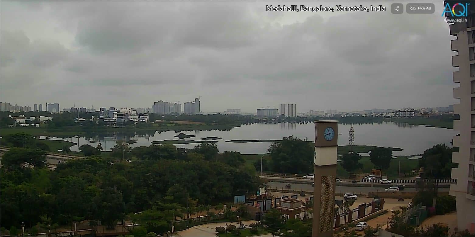
Bengaluru - Vue sur la ville
🇮🇳 Karnataka · India — Altitude 920 m
This live stream looks out over Bengaluru, the capital of Karnataka in southern India. It is a quick way to see how the city's skyline and street activity look right now, without planning a trip first. The local time and weather below the player help you judge conditions at a glance.
Bengaluru sits on a plateau at roughly 920 metres above sea level, which gives it a milder climate than most Indian cities of its size. Known as the garden city, it has long been associated with parks, tree-lined avenues and a large technology sector. Its mix of old markets, colonial-era buildings and fast-growing glass towers makes it one of the most energetic urban centres in the country.
The camera is a city-view stream, so the picture is mainly about rooftops, traffic and the skyline rather than a single landmark. Daytime is the most useful time to watch, when the light is strong and street life is at its busiest. Early mornings and evenings can be interesting too, with the lights of the city coming on as the sky darkens. Haze and monsoon clouds can change the view considerably from one day to the next.
Bengaluru has a relatively pleasant climate, and the cooler months from around December to February are generally considered the best time to visit. The monsoon brings heavy rain between roughly June and September. Nearby cameras on VizCams include Salem and Tiruppur in Tamil Nadu, though both are a considerable distance away, so this stream is the best live view of the city itself.
Source: AQI.in
Tamil Nadu, India — 162 km
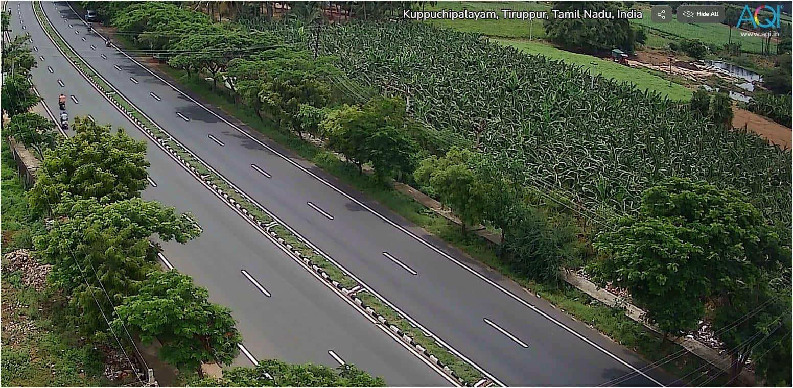
Tamil Nadu, India — 209 km
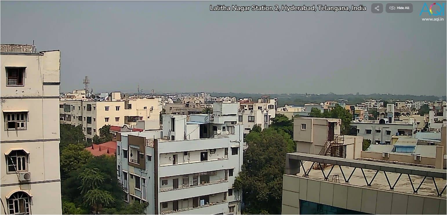
Telangana, India — 500 km

Eastern Province, Sri Lanka — 710 km
Maharashtra, India — 749 km
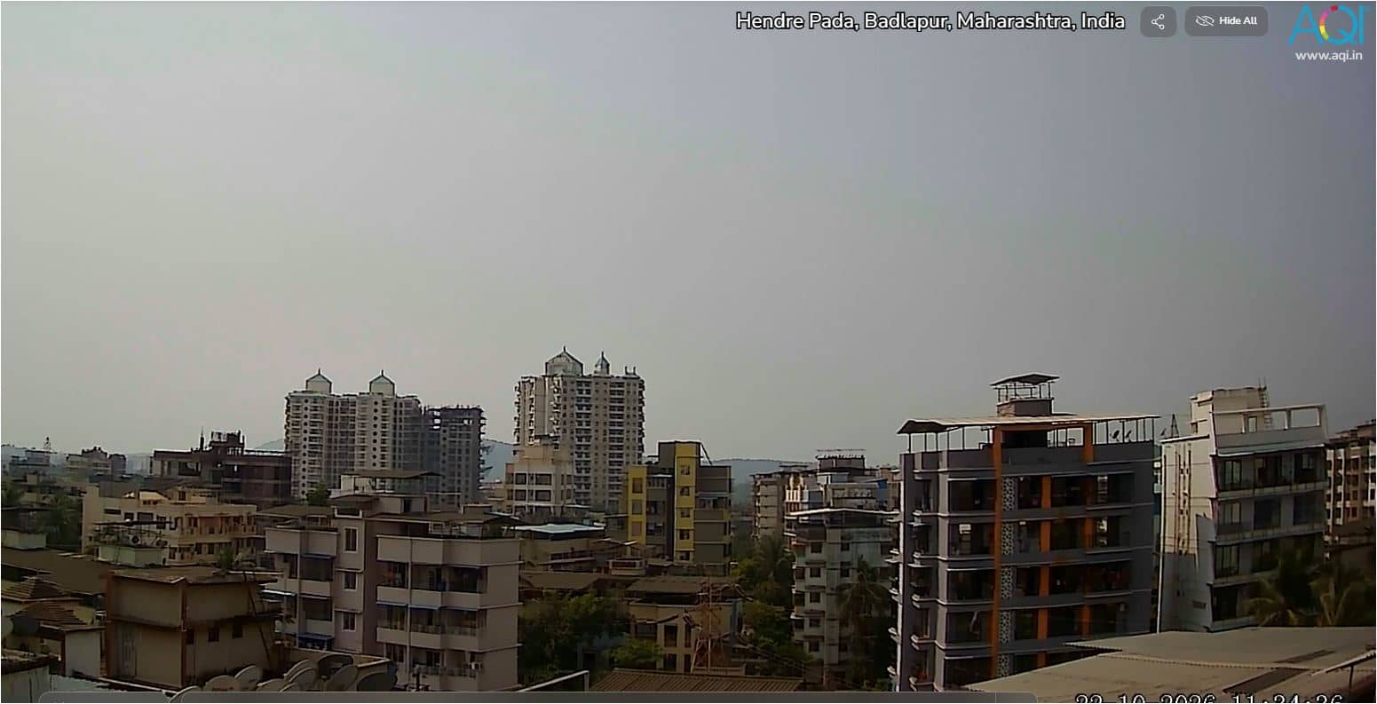
Maharashtra, India — 829 km
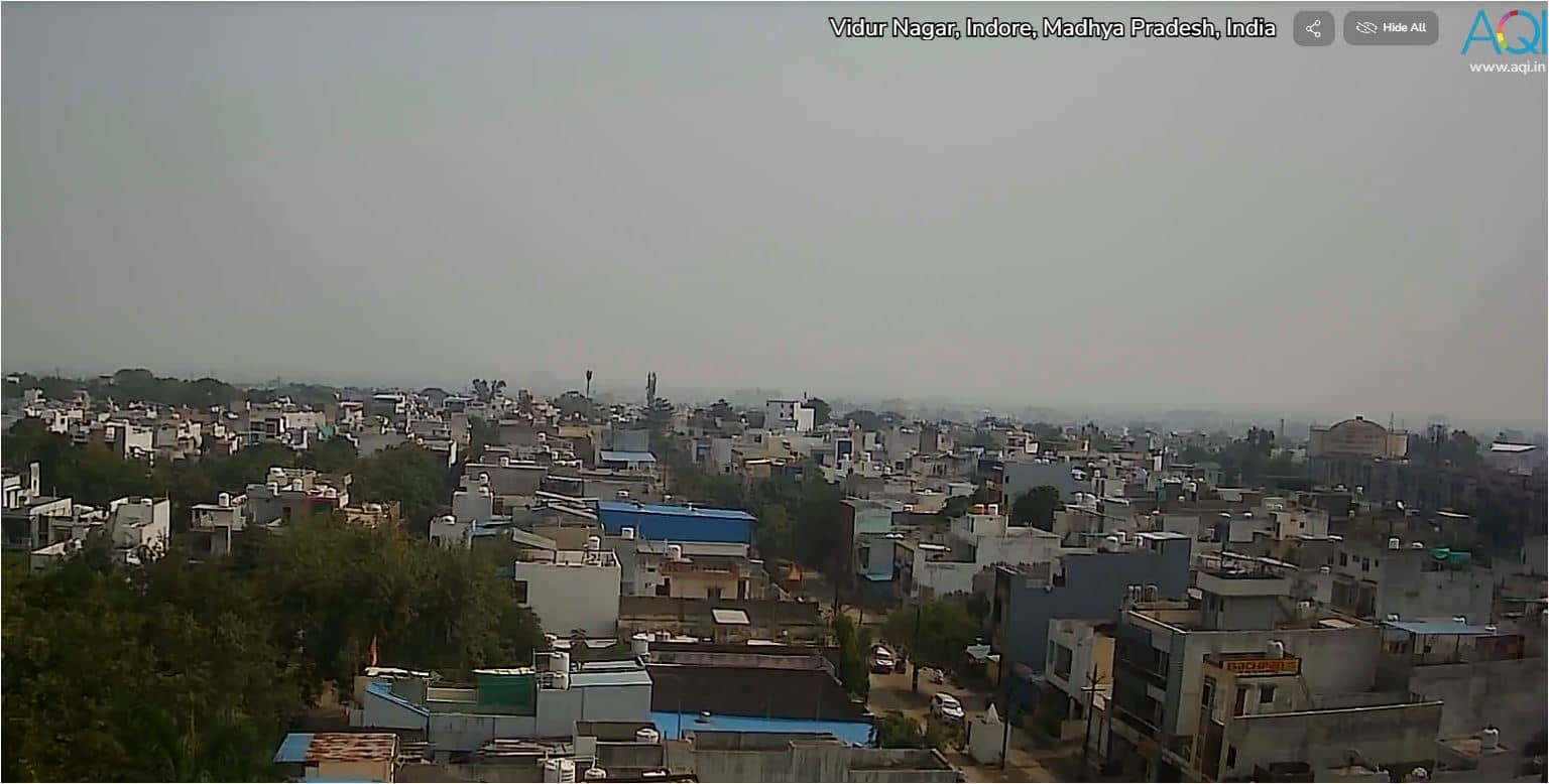
Madhya Pradesh, India — 1099 km
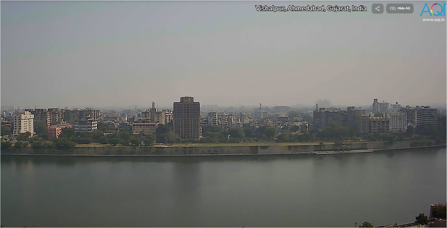
Gujarat, India — 1237 km
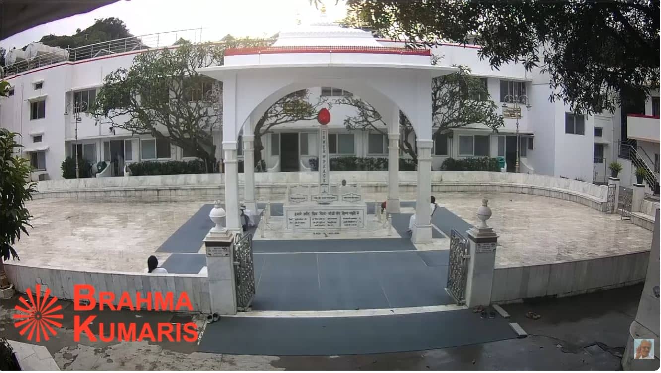
Rajasthan, India — 1391 km
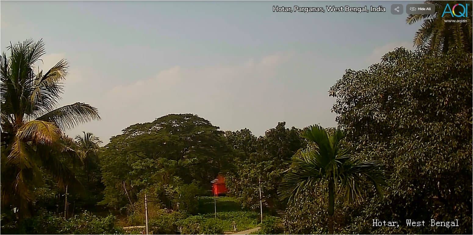
West Bengal, India — 1567 km
The current conditions and the three-day forecast for Bengaluru are shown in the weather block on this page and update automatically. Check it before deciding whether the view is likely to be clear.
The local time for Bengaluru is displayed on this page and follows the Indian time zone. It updates continuously, so you can compare it with your own time.
The camera is in Bengaluru, Karnataka, India, at approximately 12.97 degrees north and 77.59 degrees east. The map on this page marks the city centre area.
Daytime offers the clearest picture of the city and its traffic, while the evening shows the city lights. The dry winter months usually give the most visibility, whereas monsoon weather can reduce it.
Partner links: we may earn a commission at no extra cost to you.