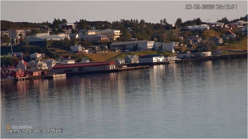
Neskaupstaður - Port de Neskaupstaður — Norðfjarðarhöfn
East Iceland, Iceland — 42 km
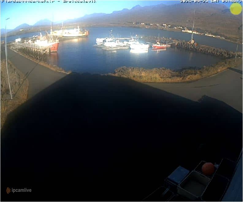
Breiðdalsvík - Port de Breiðdalsvík — Breiðdalsvíkurhöfn
🇮🇸 East Iceland · Iceland — Altitude 1 m
This live camera looks over the harbour of Breiðdalsvík, a small fishing village on the east coast of Iceland. It suits anyone curious about daily life in a working Icelandic port or planning a visit to the Eastfjords. The picture updates in real time, so you can see the harbour as it is right now.
Breiðdalsvík sits on a short stretch of coast where the Breiðdalur valley opens to the Atlantic. Its economy has long rested on fishing and fish processing, and the harbour remains the heart of the village. The surrounding landscape is typical of the Eastfjords: steep mountains, deep fjords, and open sea that changes colour with the weather and the light.
As a port camera, the view is centred on the harbour basin and the boats moored there. Activity is usually greatest when fishing vessels come and go, often in the early morning or late afternoon. Low sun in the Icelandic summer can light the water and surrounding slopes for many hours, while winter views are shorter and more dramatic, with snow and grey skies common.
Summers in East Iceland are cool and often windy, with temperatures typically in the low teens Celsius, while winters are cold, dark and stormy. The best months for travel are June to August, when roads are most reliable. Breiðdalsvík lies on the Ring Road region. Nearby cameras include Neskaupstaður harbour, about 42 km away, Borgarfjörður Eystri, and the Jökulsárlón glacier lagoon further along the coast.
Source: Fjarðabyggðarhafnir
East Iceland, Iceland — 42 km
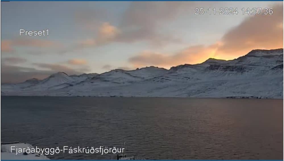
East Iceland, Iceland — 85 km
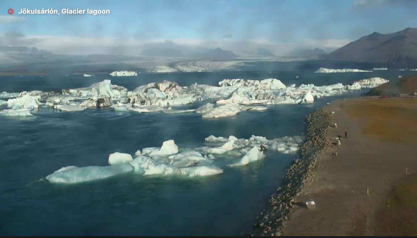
East Iceland, Iceland — 133 km
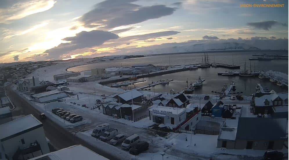
North East Iceland, Iceland — 208 km
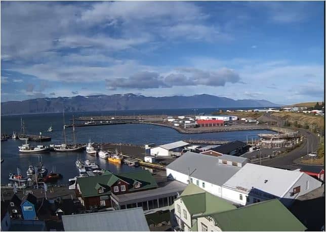
North East Iceland, Iceland — 208 km
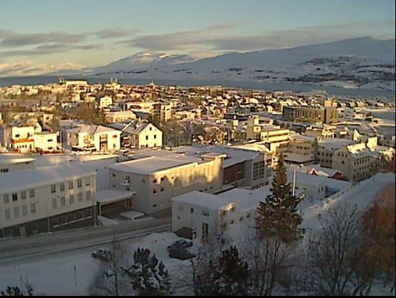
North East Iceland, Iceland — 214 km

North East Iceland, Iceland — 214 km

Northwest Iceland, Iceland — 215 km
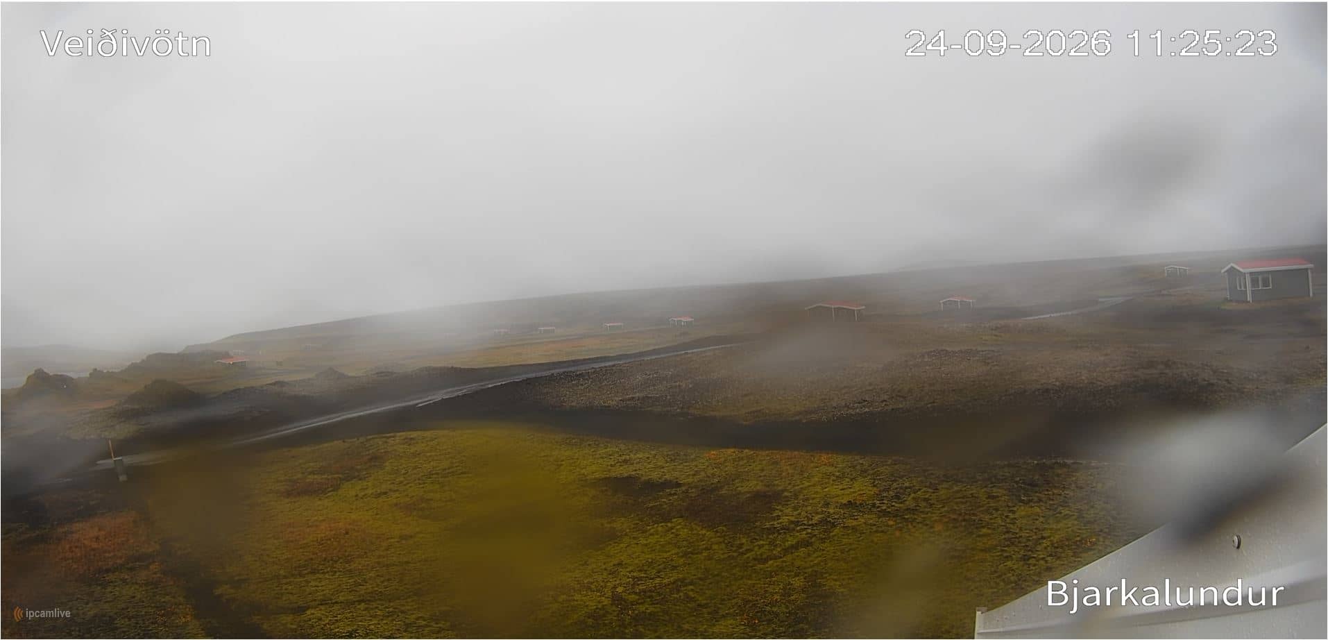
Southern Region, Iceland — 240 km
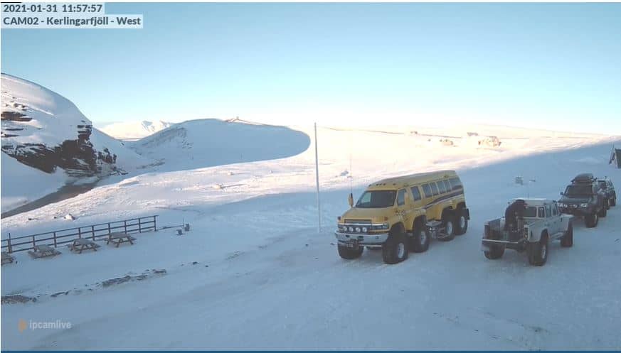
Southern Region, Iceland — 251 km
Current conditions and a three-day forecast for Breiðdalsvík are shown in the live weather block on this page. Icelandic weather changes quickly, so check it before you plan a walk along the harbour.
The local time for Breiðdalsvík is displayed on this page and updates automatically. Iceland uses the same time all year, and it is on GMT.
The camera overlooks the harbour of Breiðdalsvík on the east coast of Iceland. A map on this page marks its exact position and shows the surrounding coastline.
Early morning and late afternoon often bring the most boat movement. Summer offers long daylight, while winter views depend more on weather and daylight hours.
Partner links: we may earn a commission at no extra cost to you.