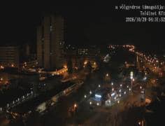
Salgótarján - Kassai sor
Nógrád, Hungary — 0.5 km
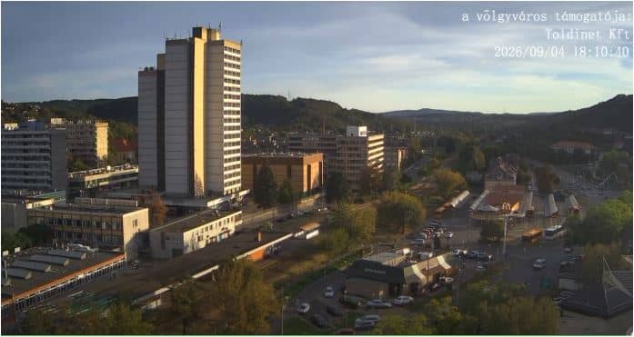
Salgótarján - Kassai sor - Kazmér
🇭🇺 Nógrád · Hungary — Altitude 260 m
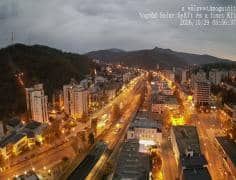
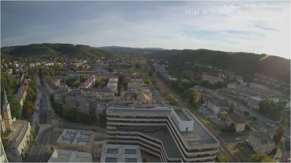
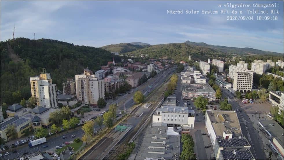
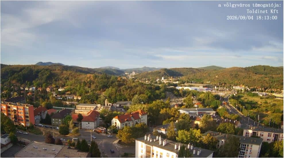
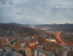
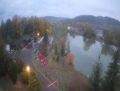
This live stream shows a street view in Salgótarján, the largest town of Nógrád county in northern Hungary. It is useful for anyone wanting to see current conditions in the town before a visit, or simply to follow daily life in a small industrial city set among wooded hills.
Salgótarján sits in the Cserhát and Karancs hills of northern Hungary, close to the Slovak border. The town grew up around coal mining and glassworks in the nineteenth century, and its streets still reflect that past with modest housing and sloping roads. Nearby forests and the Karancs and Medves hills draw walkers and cyclists, so the surroundings feel quieter and greener than the town centre suggests.
The title points to Kassai sor, a street in the town, so the view is likely to cover traffic, pavements and the buildings lining the road. The stream is most useful on weekday mornings and afternoons, when local movement is busiest, and in winter, when snow and fog can change the look of the street quickly. Check the live weather block on this page to match what you see with the conditions outside.
Winters here are cold and often snowy, while summers are warm and occasionally humid, so late spring and early autumn are pleasant times to visit. Salgótarján is served by regional rail and bus connections, and Budapest is roughly two hours away by train. Other cameras from the same town, including the city centre and the Maison Cascos view, are listed below for comparison.
Source: toldinet.hu
Nógrád, Hungary — 0.5 km
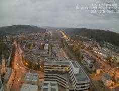
Nógrád, Hungary — 0.7 km
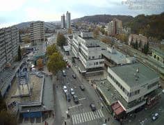
Nógrád, Hungary — 0.7 km
Nógrád, Hungary — 0.8 km
Nógrád, Hungary — 1 km
Nógrád, Hungary — 1 km

Nógrád, Hungary — 1 km
Nógrád, Hungary — 3.6 km
Nógrád, Hungary — 5.4 km
Nógrád, Hungary — 13 km
The current weather and a three-day forecast for Salgótarján are shown in the live block on this page. They update automatically, so you can compare the conditions with the street view above.
The local time in Salgótarján is shown on this page and follows Central European time with daylight saving. It updates live alongside the camera stream.
The camera is in Salgótarján, the county town of Nógrád in northern Hungary, at an altitude of about 260 metres. The map on this page shows its precise position.
Weekday daytime is when the street is most active. In winter, the view is especially useful for checking snow and fog before travelling through the region.
Partner links: we may earn a commission at no extra cost to you.