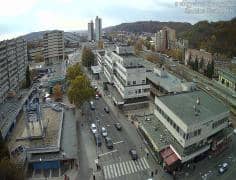
Salgótarján - Maison Cascos
Nógrád, Hungary — 0 km
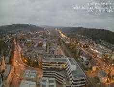
Salgótarján - Vue sud-sud-ouest
🇭🇺 Nógrád · Hungary — Altitude 250 m
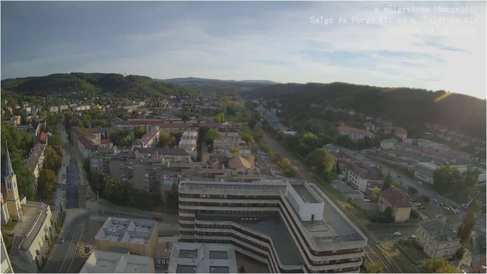
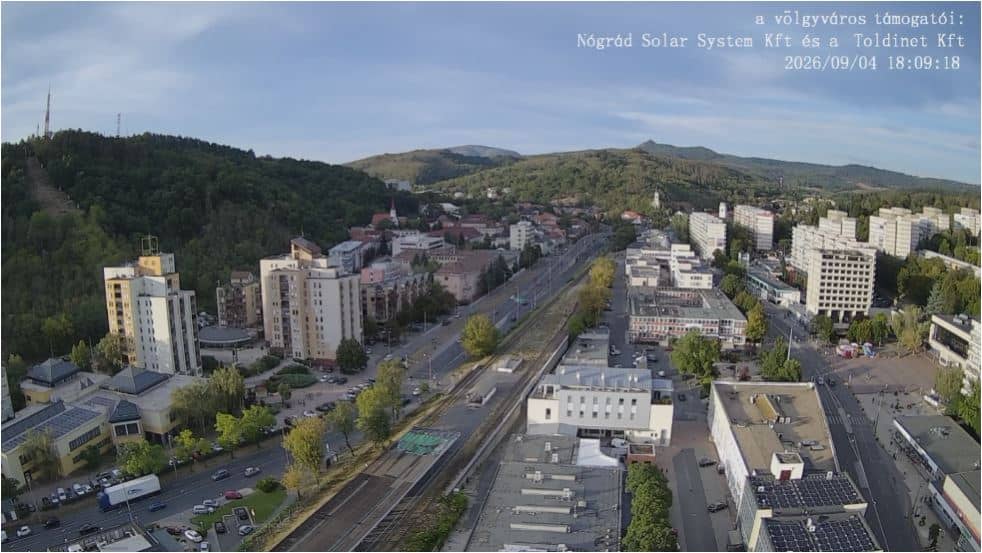
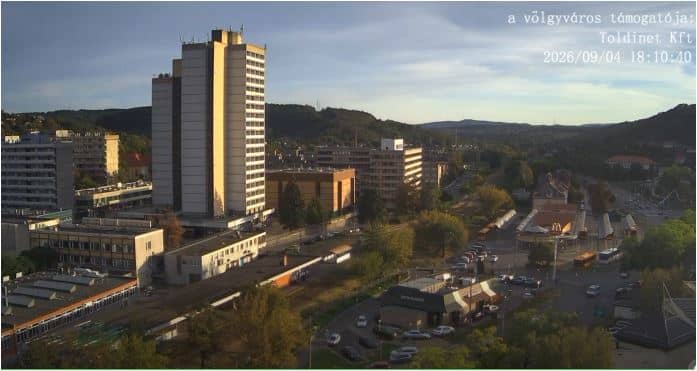
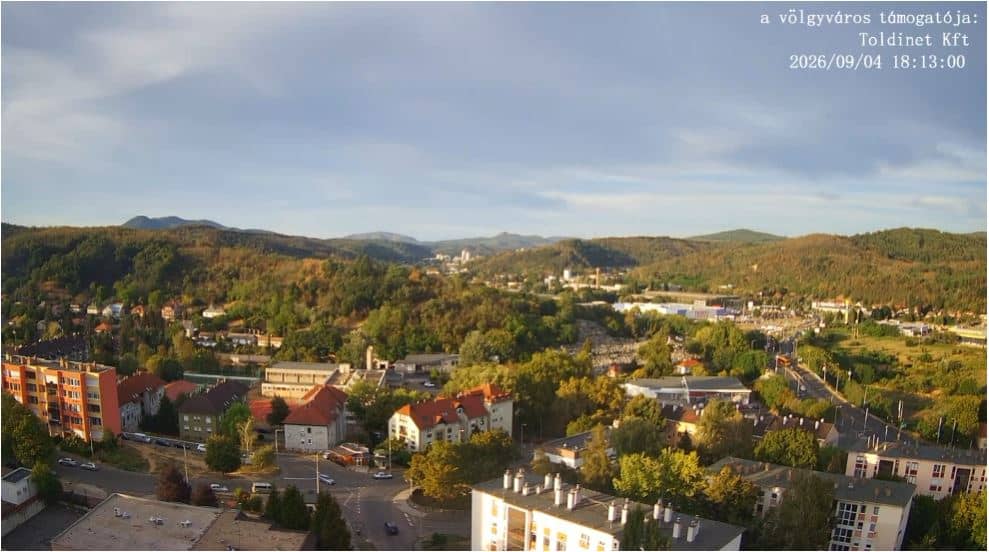
This live stream looks south-southwest over Salgótarján, the county town of Nógrád in northern Hungary. It suits anyone wanting a current look at a hilly Hungarian town before a visit, or simply checking the sky and visibility from afar. The page adds local time and the weather outlook beside the picture.
Salgótarján sits in the Cserhát and Mátra foothills of northern Hungary, roughly 250 metres above sea level. It grew around coal mining and later heavy industry, and it is still shaped by its valley position and the wooded slopes around it. The town is a practical base for exploring the Mátra mountains and the Nógrád countryside, which is quieter and greener than the Budapest area to the south.
The title names a south-southwest direction, so the view is set toward the town's built-up area and the surrounding hills rather than a single landmark. Because the picture is a live feed, you can check how clear the air is, whether cloud is sitting on the ridges, and what the light looks like. Early mornings and late afternoons often bring the most contrast, depending on the season and the weather.
Hungary has warm summers and cold, sometimes snowy winters, and northern Nógrád can be a few degrees cooler than the plains. Spring and early autumn are comfortable for walking in the hills. Salgótarján is served by rail and road connections from Budapest, and nearby cameras in the town centre and at Kassai sor can give you additional viewpoints of the same area.
Source: Időkép
Nógrád, Hungary — 0 km
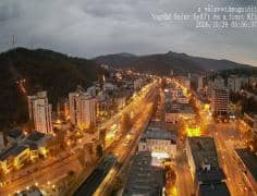
Nógrád, Hungary — 0.1 km
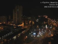
Nógrád, Hungary — 0.2 km
Nógrád, Hungary — 0.2 km
Nógrád, Hungary — 0.2 km

Nógrád, Hungary — 0.3 km
Nógrád, Hungary — 0.7 km
Nógrád, Hungary — 2.9 km
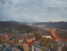
Nógrád, Hungary — 4.7 km
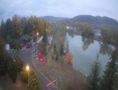
Nógrád, Hungary — 13 km
The current conditions and the three-day forecast are shown in the weather block on this page, updated alongside the live stream.
The local time for Salgótarján is displayed on this page and follows Hungary's clock, which is one hour ahead of UTC in winter.
The camera is in Salgótarján, Nógrád county, northern Hungary, at about 250 metres altitude. The map on the page marks its position.
Mornings and late afternoons usually give the clearest light and the most visible detail. Clear, dry days are best for seeing the surrounding hills.
Partner links: we may earn a commission at no extra cost to you.