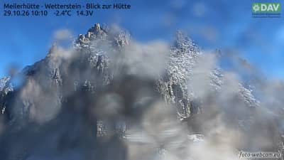
Meilerhütte - Wetterstein - vue sur le refuge
Bavaria, Germany — 0.1 km
Meilerhütte - Wetterstein - vue vers le nord-ouest sur la Zugspitze
🇩🇪 Bavaria · Germany — Altitude 2366 m
This camera looks out from the Meilerhütte, a mountain hut at about 2,366 metres in the Wetterstein range of Bavaria. The view points northwest toward the Zugspitze, Germany's highest peak. It is a useful window for judging cloud, snow and visibility on the high ridges before planning a hike.
Meilerhütte stands in the Wetterstein Mountains on the German side of the Alps, close to the Austrian border and the Leutasch valley. The Zugspitze, at roughly 2,962 metres, is the dominant summit in the region and gives the area its character. The landscape is rugged limestone, with steep faces, scree slopes and open alpine meadows lower down. The surroundings are quiet and largely undeveloped, which is part of the appeal for walkers and climbers.
The camera is aimed at the mountain panorama, so the main subject is the high peaks and the sky above them. Depending on the weather, you may see clear summits in strong sunlight, or cloud moving across the ridges and hiding the top. Early morning and late afternoon often bring the most dramatic light on the rock faces. Snow lingers on the upper slopes well into spring, so the view changes noticeably between seasons.
Summer and early autumn are the usual months for hiking in this area, while winter brings skiing and snowshoe routes in the nearby valleys. Mountain weather can change quickly, so check the live conditions here before setting out. Nearby, the Leutasch valley and Seefeld offer lodging and trailheads, and the cable car at Garmisch-Partenkirchen gives access to the Zugspitze region. The Leutasch and Garmisch cameras listed on this page show neighbouring views.
Source: foto-webcam.eu
Bavaria, Germany — 0.1 km
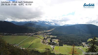
Tyrol, Austria — 4 km

Tyrol, Austria — 5.2 km
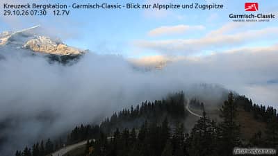

Tyrol, Austria — 6.5 km
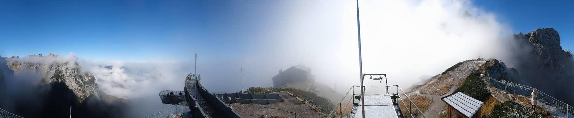
Bavaria, Germany — 6.7 km
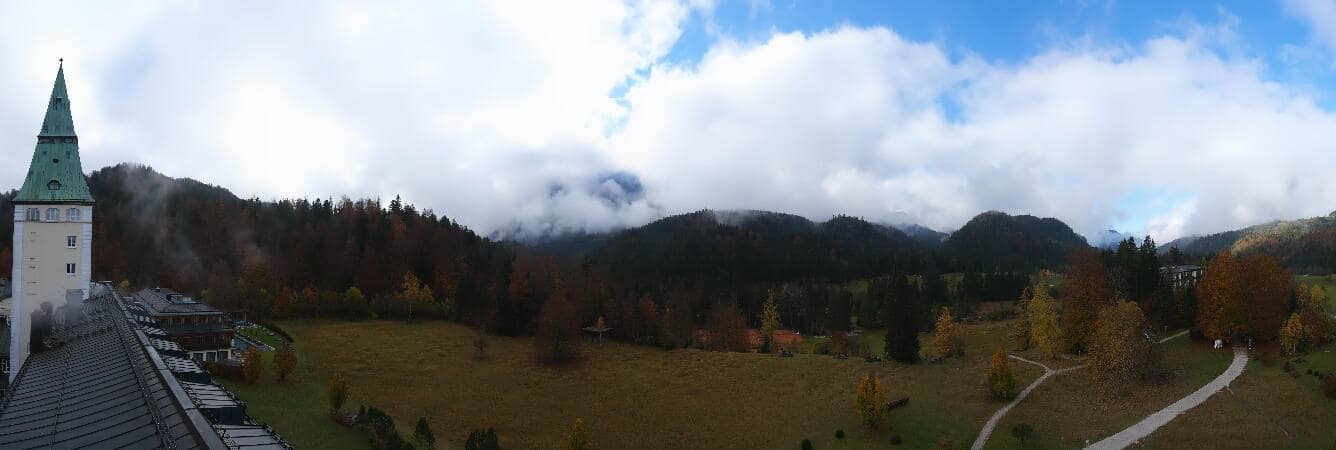
Bavaria, Germany — 7 km

Tyrol, Austria — 7.3 km
Bavaria, Germany — 7.4 km

Tyrol, Austria — 7.6 km
The live weather block on this page shows current conditions at the camera's altitude, along with a three-day forecast. Mountain weather can differ sharply from the valleys, so consult it before any hike.
The local time shown on this page follows the Central European time zone used across Bavaria. The clock updates automatically with the live view.
The camera is at the Meilerhütte in the Wetterstein Mountains of Bavaria, at about 2,366 metres altitude, looking northwest toward the Zugspitze. The map on the page marks its position.
Clear mornings and late afternoons usually give the best light on the peaks, and winter snow makes the contrast strongest. Cloud can cover the summits at any time of year, so check back at different hours.
Partner links: we may earn a commission at no extra cost to you.