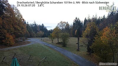
Drachselsried - Refuge Schareben 1019 m - vue vers le sud-ouest
Bavaria, Germany — 5.1 km
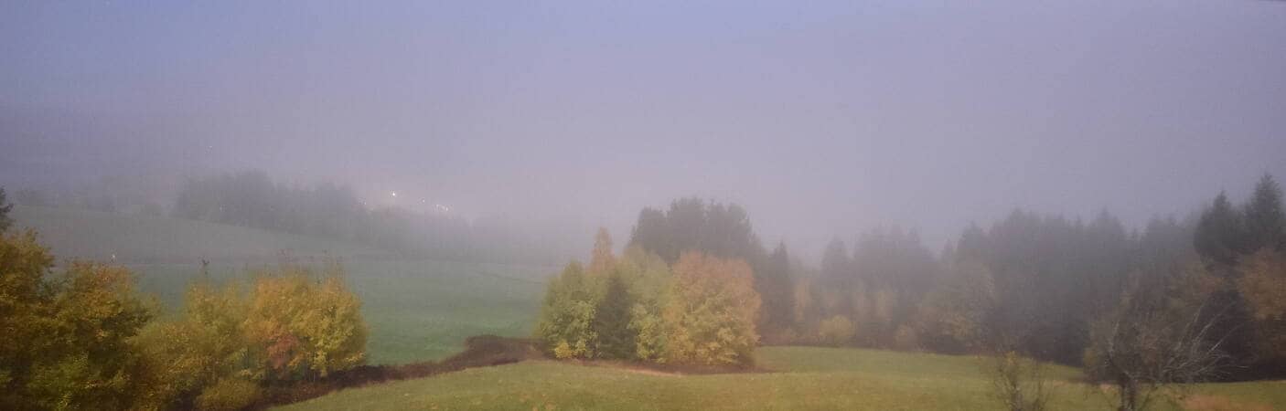
Drachselsried - Lesmannsried
🇩🇪 Bavaria · Germany — Altitude 565 m
This camera looks out over Lesmannsried, a small settlement near Drachselsried in the Bavarian Forest. It is a useful window onto the forested hills of eastern Bavaria, where weather can change quickly with altitude. Use the live player to see current conditions before planning a walk or a drive.
Drachselsried sits in the Bavarian Forest, a low mountain range along the border with the Czech Republic. The landscape is shaped by spruce and beech woodland, meadows, and small villages linked by country roads. Lesmannsried is a quiet hamlet in this rural setting, far from large towns. The region is known for its hiking trails, its national park, and the Arber, the highest peak in the range, which lies within easy reach of the area.
The view from this camera is most rewarding in clear morning light, when the wooded ridges are sharp and mist may lie in the valleys. In autumn the forest takes on strong colours, and in winter snow can transform the hills, depending on the view. Late afternoon often brings a warm glow across the fields. Check the live weather on this page to judge visibility before you watch.
The Bavarian Forest has a continental climate with cold winters and mild, pleasant summers, and spring and early autumn are good for walking. Expect cooler temperatures and changeable weather at higher elevations. Nearby, you can compare the views from the Refuge Schareben camera, the Chamer Hütte and Glashütte cameras in Bodenmais, and the Berghaus Sonnenfels camera on the Großer Arber.
Drachselsried is best reached by car, as public transport in the rural Bavarian Forest is limited. Plan ahead for longer distances between villages and check road conditions in winter. Hiking routes and cycling paths cross the region, offering a closer look at the landscape than the camera alone can provide.
Source: panomax.com
Bavaria, Germany — 5.1 km
Bavaria, Germany — 8.7 km
Bavaria, Germany — 8.7 km
Bavaria, Germany — 10 km

Bavaria, Germany — 10 km
Bavaria, Germany — 11 km
Bavaria, Germany — 13 km
Plzeň Region, Czechia — 18 km
Plzeň Region, Czechia — 18 km
Bavaria, Germany — 19 km
The current conditions and a three-day forecast for Drachselsried are shown in the live weather block on this page. Values update with the data source, so refer to them before planning a visit.
The local time for Drachselsried is displayed on this page and follows the Central European time zone used across Germany. It updates automatically as you view the page.
The camera is in Lesmannsried, near Drachselsried in Bavaria, Germany, at an altitude of about 565 metres. A map on this page marks its position in the Bavarian Forest.
Clear mornings and late afternoons are often the most pleasant times to watch, and autumn and winter can bring striking seasonal changes. Depending on the view, weather conditions matter most for visibility.
Partner links: we may earn a commission at no extra cost to you.