Saint-Denis-d'Oléron
Nouvelle-Aquitaine, France — 3.7 km
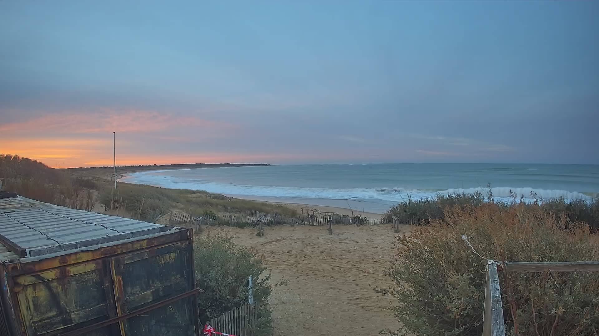
Oléron - Les Huttes
🇫🇷 Nouvelle-Aquitaine · France — Altitude 8 m
This live stream looks out over Les Huttes on Oléron, the largest island off the French Atlantic coast in Charente-Maritime. It is a quick way to see the conditions on this part of the island before you travel or while you plan a day by the sea.
Oléron lies just off the mainland in the Nouvelle-Aquitaine region and is joined to it by a road bridge. The island is known for its oyster farming, salt marshes, pine forests and long sandy beaches facing the Atlantic. Its villages are low and white-walled, and the landscape changes quickly between dunes, marshland and small harbours. Because the island is flat and open, the sky and the sea dominate the view.
The camera is a live video stream from the Marennes tourist office. Its title points to the Les Huttes area on the island, but the exact view is best judged by watching it directly. Coastal scenes like this are often most interesting in the early morning and late afternoon, when light is low and tides change the look of the shore. Wind and cloud cover can shift the mood considerably from hour to hour.
Oléron has a mild oceanic climate, with mild winters and warm, fairly breezy summers. Spring and early autumn are often pleasant for walking and cycling along the coast. Nearby cameras cover Saint-Denis-d'Oléron, the Chassiron lighthouse, Port Le Douhet and La Cotinière, which can help you compare conditions across the island.
Source: Office de Tourisme de Marennes
Nouvelle-Aquitaine, France — 3.7 km
Nouvelle-Aquitaine, France — 4.8 km
Nouvelle-Aquitaine, France — 5.1 km
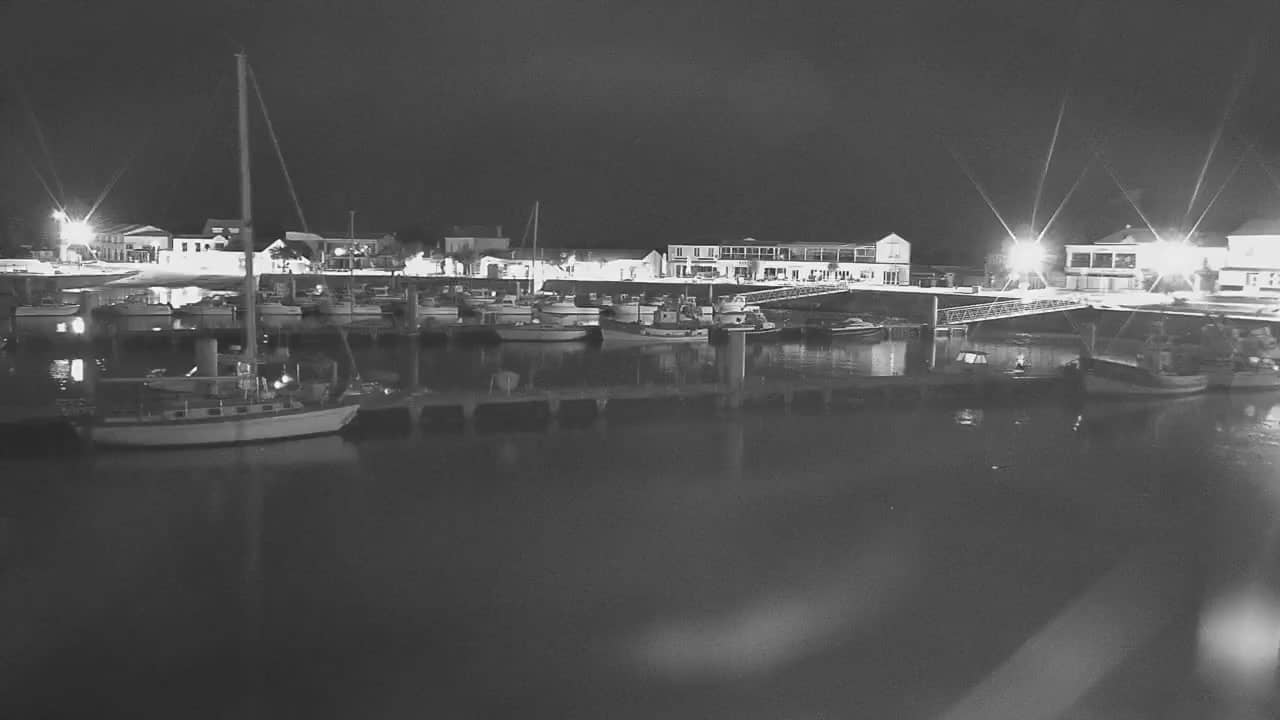
Nouvelle-Aquitaine, France — 11 km
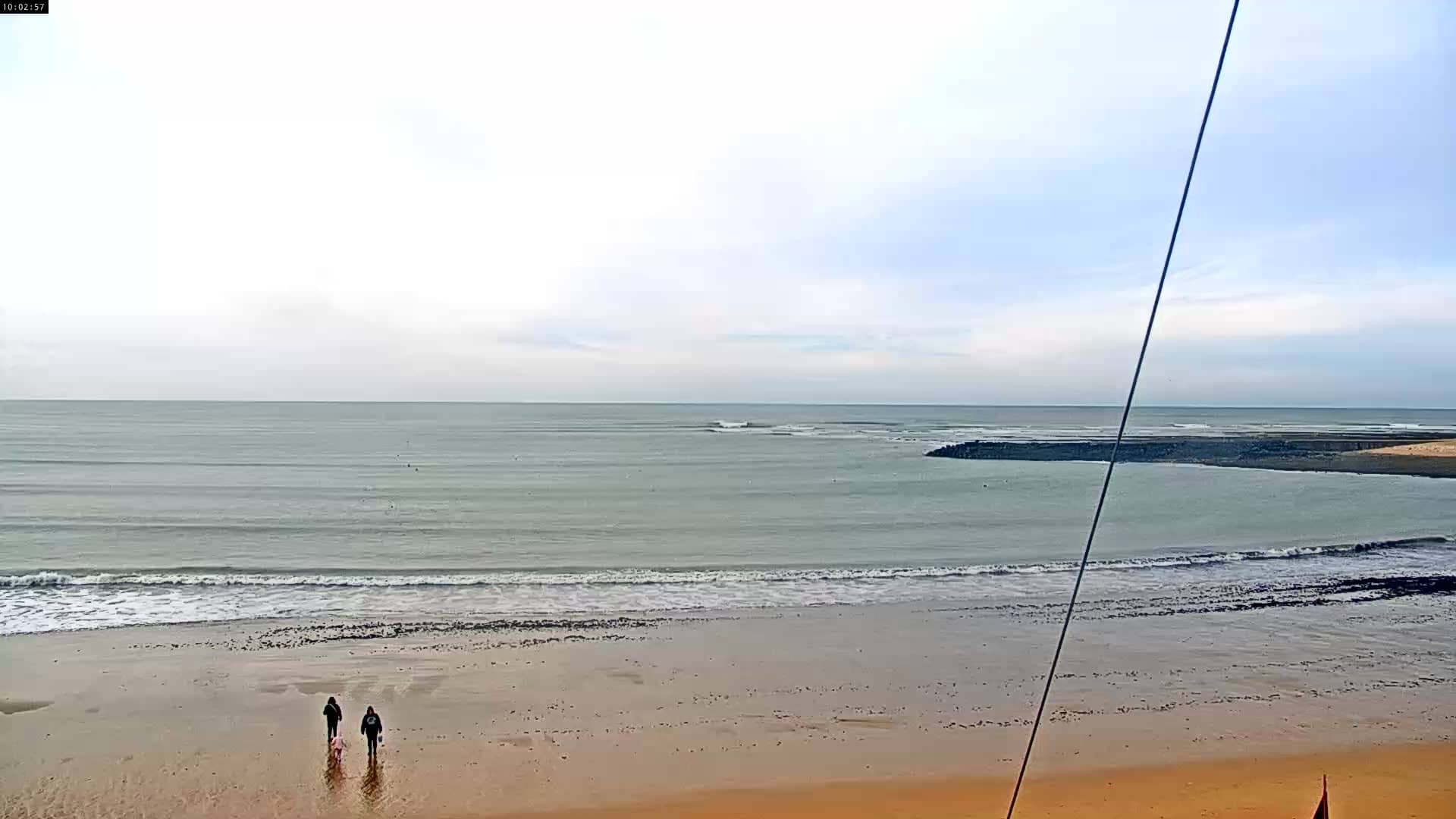
Nouvelle-Aquitaine, France — 14 km
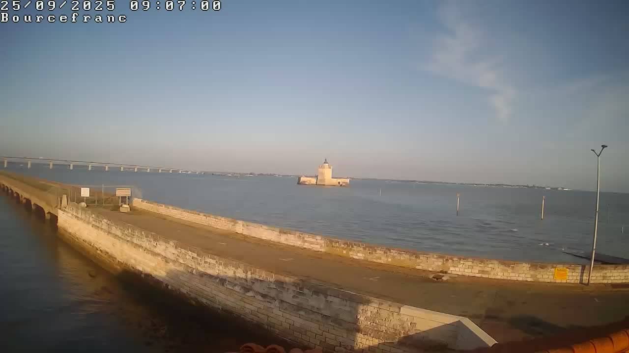
Nouvelle-Aquitaine, France — 24 km
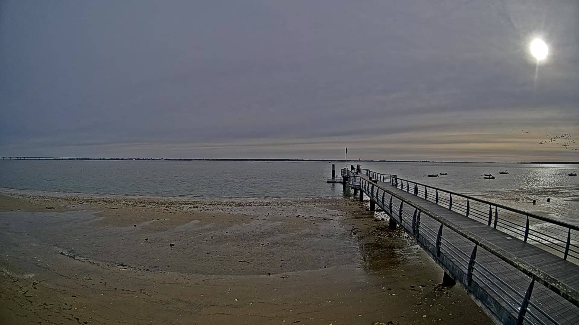
Nouvelle-Aquitaine, France — 25 km

Nouvelle-Aquitaine, France — 33 km
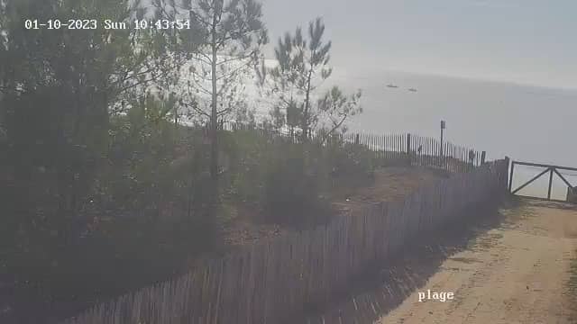
Pays de la Loire, France — 37 km
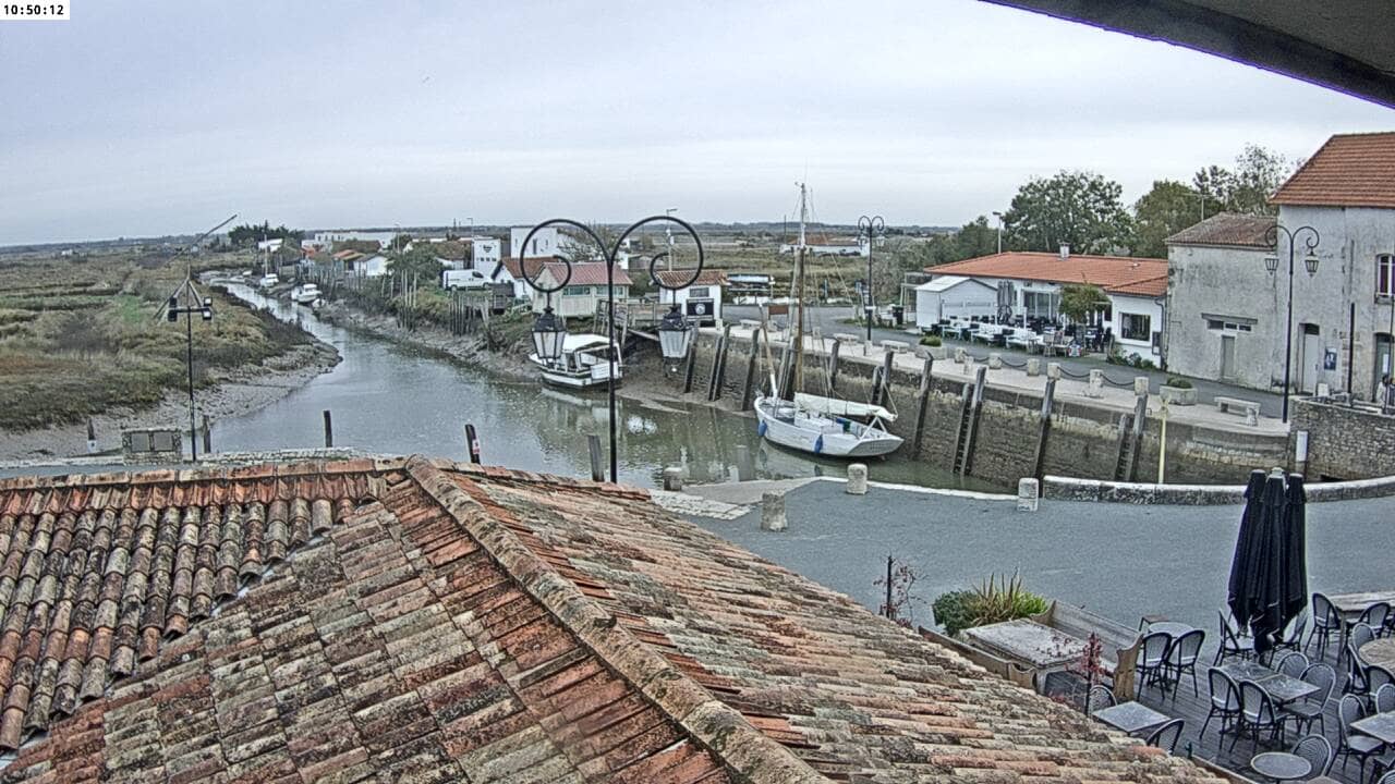
Nouvelle-Aquitaine, France — 43 km
The current conditions and a three-day forecast are shown in the weather block on this page. They update with the live data, so you can check wind and temperature before you head out.
The local time for Oléron is shown on this page, based on the French time zone. It is useful for planning when to watch the coast in daylight.
The camera is on Oléron island in the Charente-Maritime department, at the coordinates shown on the map. The map section lets you see its position relative to the mainland and nearby villages.
Early morning and late afternoon usually give the clearest light and calmer views. Check the tide and wind in the weather block, since both change how the shoreline looks.
Partner links: we may earn a commission at no extra cost to you.