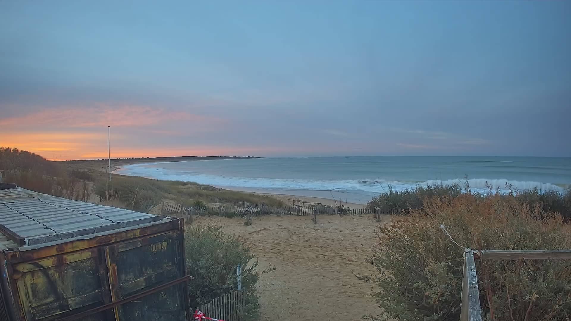
Oléron - Les Huttes
Nouvelle-Aquitaine, France — 5.1 km
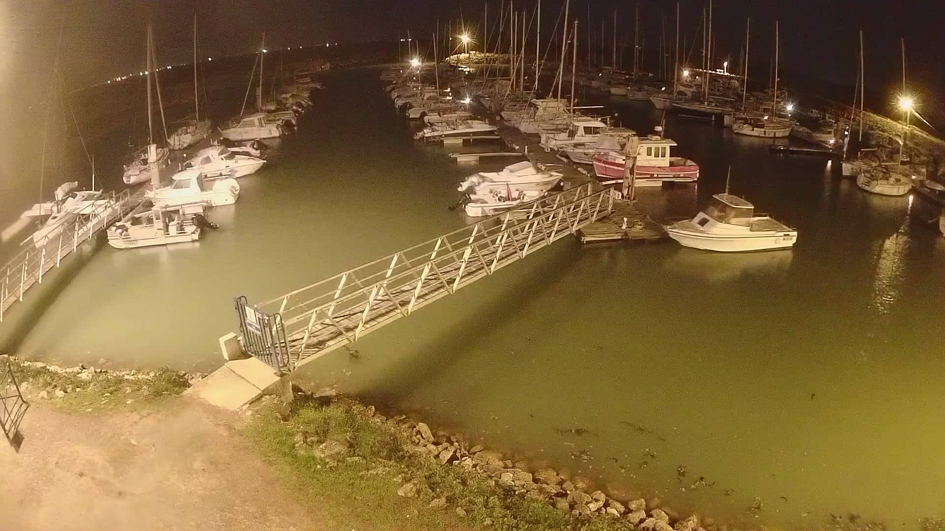
🇫🇷 Nouvelle-Aquitaine · France — Altitude 5 m
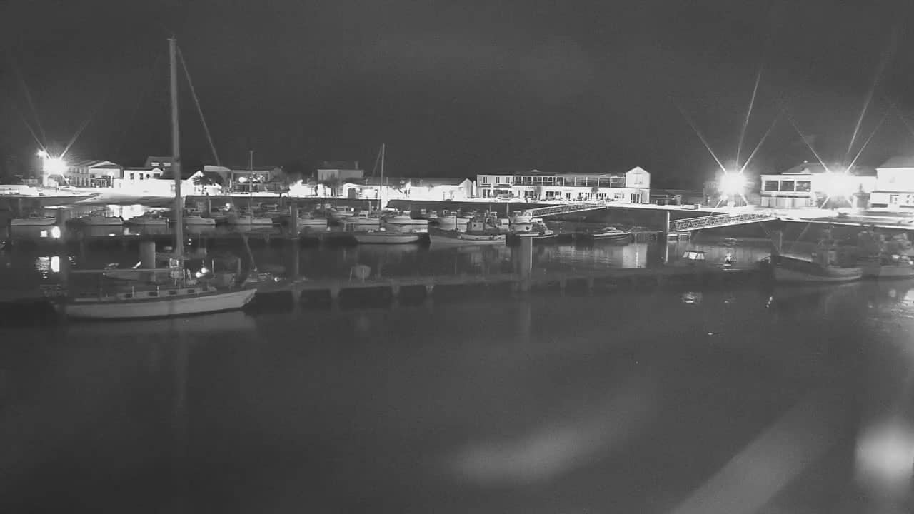
This live stream looks over the small harbour at Le Douhet, on the Atlantic coast of Oléron island in western France. Boats, tides and changing sky make it a simple way to check on the sea before heading out or planning a day on the island.
Le Douhet is a small fishing and sailing harbour on the eastern shore of Oléron, facing the Marennes basin and the Charente estuary. Oléron is the second largest island on the French Atlantic coast and is linked to the mainland by a road bridge. The landscape is flat and low, shaped by salt marshes, oyster parks and wide tidal flats, which gives the coast a calm and open character.
Depending on the view, you may see moored boats, small working vessels and the water level changing with the tide. Harbours like this are often most lively around high tide and in the early morning, when fishing boats go out. Clear days with a light westerly wind tend to show the sea at its best, while overcast weather brings softer, greyer light across the water.
The Charente-Maritime coast has mild, oceanic weather, with wet winters and warm, breezy summers. Spring and early autumn are pleasant for walking and cycling along the dykes. Nearby, the cameras at Les Huttes and Saint-Denis-d'Oléron cover other parts of the island, and the Chassiron lighthouse and La Cotinière harbour are a short drive away for comparison.
Source: Marennes Oléron Tourisme
Nouvelle-Aquitaine, France — 5.1 km
Nouvelle-Aquitaine, France — 5.2 km
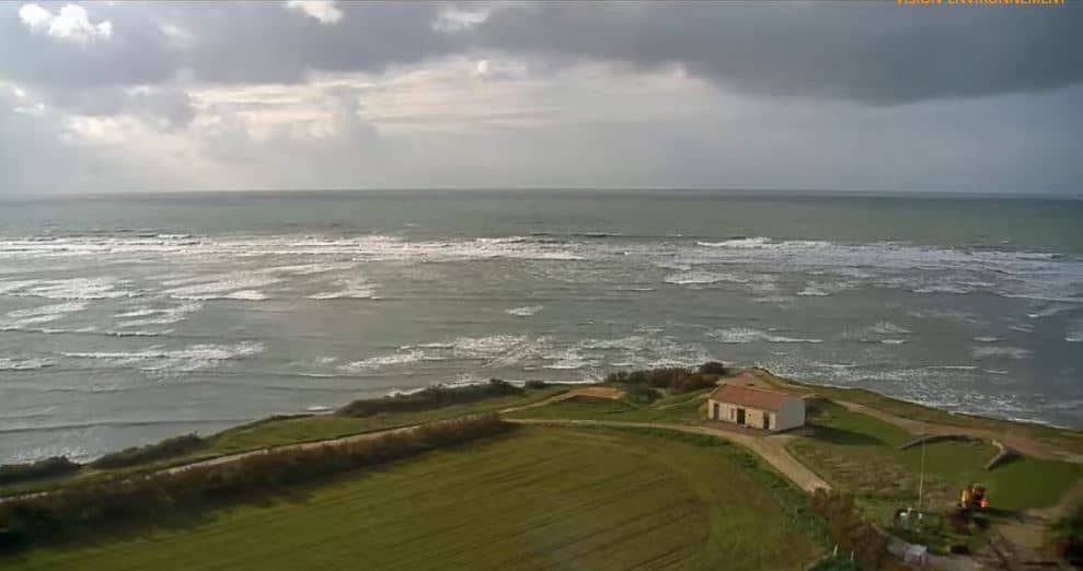
Nouvelle-Aquitaine, France — 8.2 km
Nouvelle-Aquitaine, France — 9.7 km
Nouvelle-Aquitaine, France — 11 km
Nouvelle-Aquitaine, France — 20 km
Nouvelle-Aquitaine, France — 21 km

Nouvelle-Aquitaine, France — 30 km
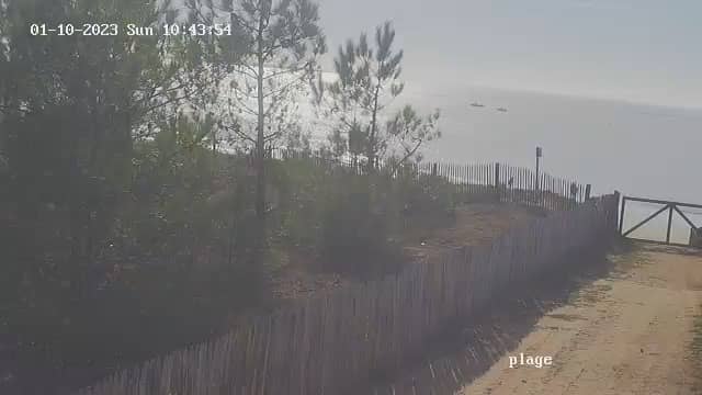
Pays de la Loire, France — 38 km
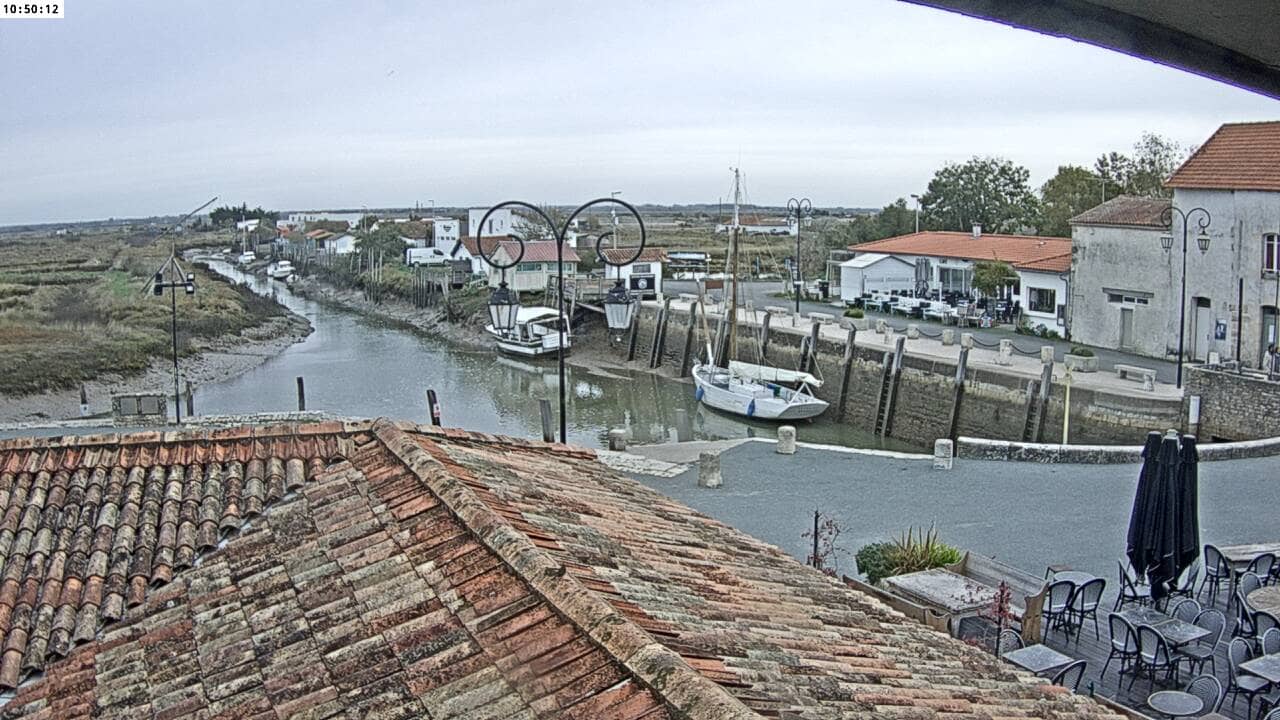
Nouvelle-Aquitaine, France — 40 km
The current conditions and a three-day forecast for Port Le Douhet are shown in the live weather block on this page. They update automatically, so you can check wind and sky before you go to the coast.
The local time for Port Le Douhet is displayed on this page and follows French time, with the clock updating live. It is useful for checking tide times and planning a visit.
The camera overlooks the harbour at Le Douhet on the eastern side of Oléron island, in the Nouvelle-Aquitaine region of western France. The map on this page shows its exact position.
Early morning and around high tide are often the most active times for boats. Clear weather usually gives the best view of the water and the surrounding shoreline.
Partner links: we may earn a commission at no extra cost to you.