Eu - Jardin du Château
Normandy, France — 2.2 km
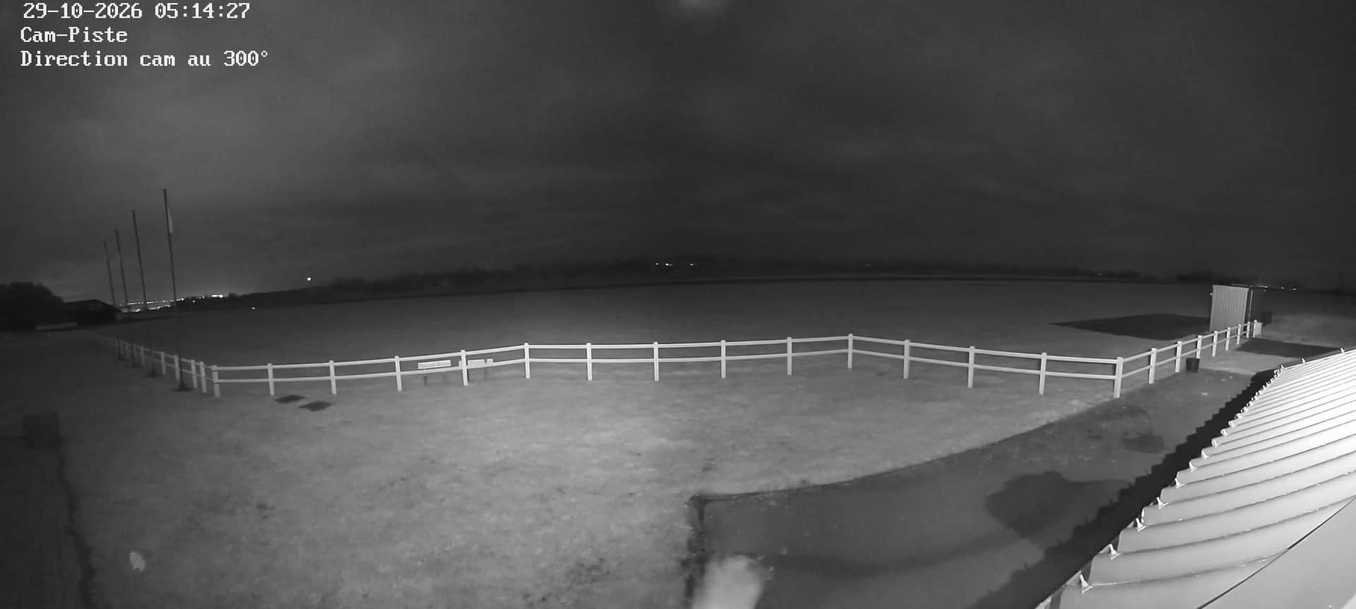
Le Tréport - Aérodrome
🇫🇷 Normandy · France — Altitude 100 m
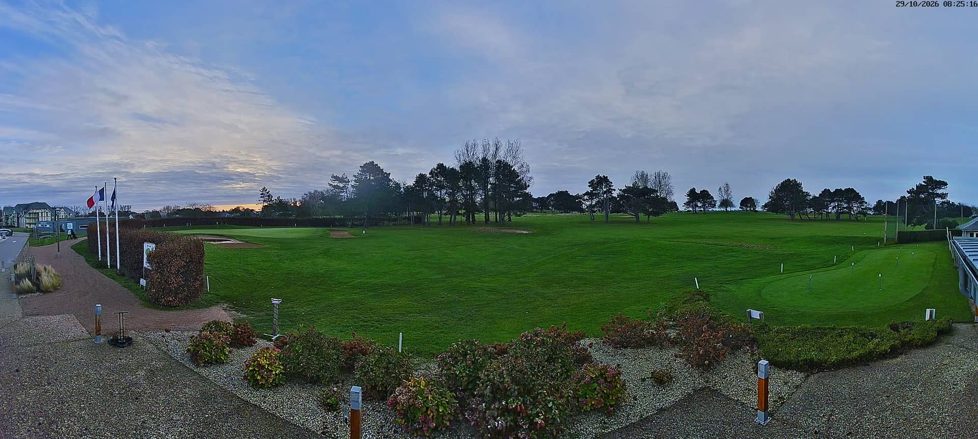
This camera looks over the airfield at Le Tréport, a small seaside town on the Normandy coast at the mouth of the Bresle. It is useful for checking the sky and visibility above the Channel coast before heading out, whether you are planning a visit or simply curious about conditions here. The live player, weather and local time are all on this page.
Le Tréport sits where the Bresle river meets the English Channel, between Dieppe and Dunkirk along the Alabaster Coast. It is known for its pebble beach, the cliffs to the west and a long tradition as a bathing resort in the nineteenth century. The town has a relaxed working harbour, and the surrounding countryside is open farmland and small villages stretching inland from the sea.
The view is aimed at the airfield, so the most informative moments are the clear days, when cloud base, wind and light over the open ground are easy to judge. Early mornings and late afternoons usually give the most readable light. Sea fog, which often rolls in along this coast in spring and early summer, can hide the horizon for hours, so it is worth checking the weather block first.
The coast here is mild and fairly damp, with cool summers and wet, windy winters. Late spring and early autumn are generally the most comfortable months for a visit. Nearby, Mers-les-Bains and the beach at Le Tréport are a short drive away, and the Jardin du Château in Eu is a pleasant stop for a walk between the coastal villages.
Source: aeroclubetm
Normandy, France — 2.2 km

Hauts-de-France, France — 3.1 km
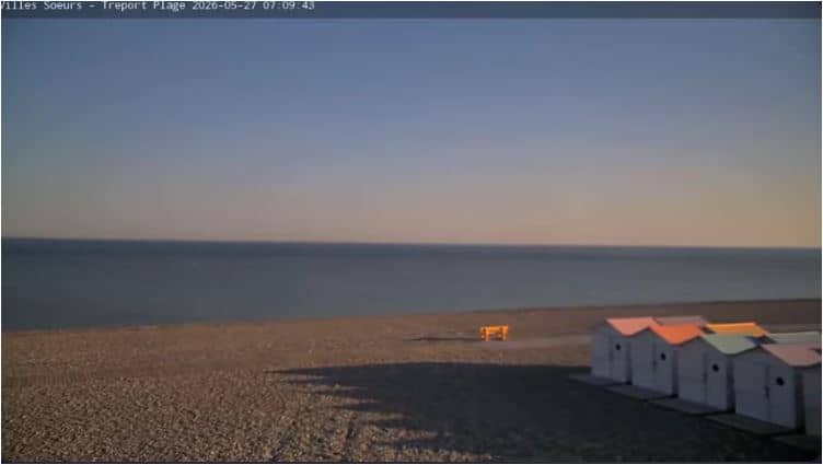
Normandy, France — 4.2 km
Hauts-de-France, France — 5 km
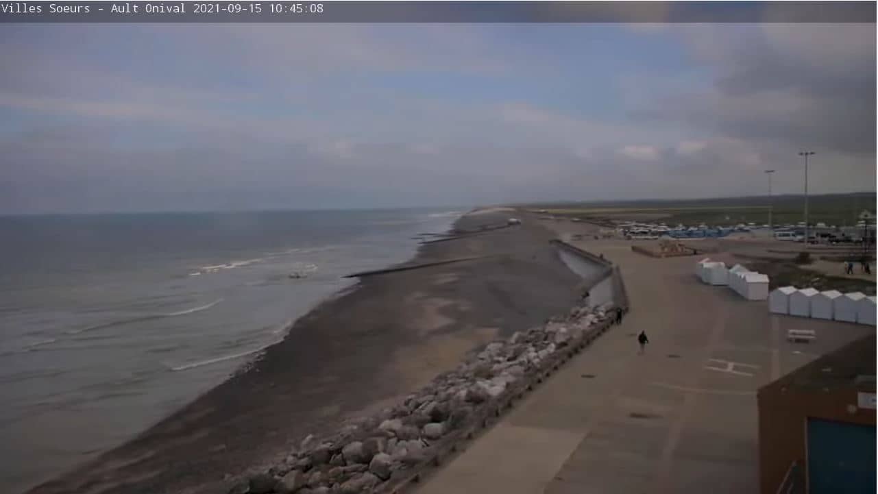
Hauts-de-France, France — 5.1 km
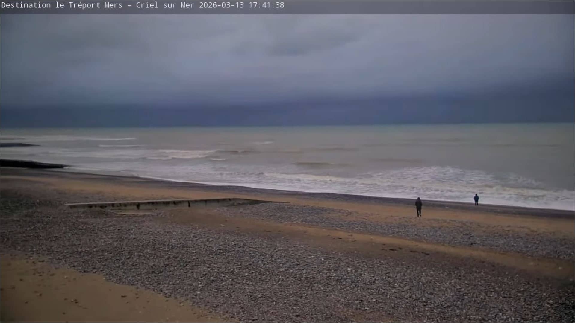
Normandy, France — 8.8 km
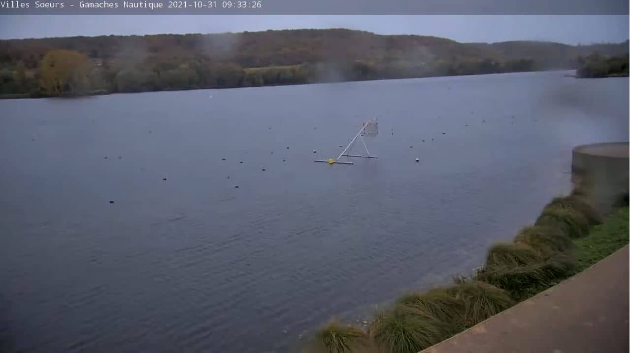
Hauts-de-France, France — 12 km

Hauts-de-France, France — 21 km
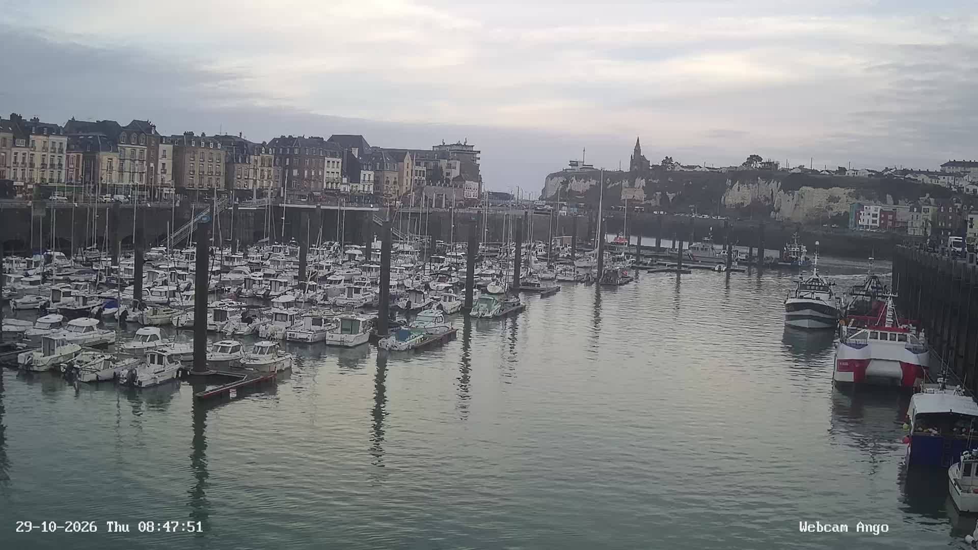
Normandy, France — 29 km
Normandy, France — 31 km
The current conditions and a three-day forecast for Le Tréport are shown in the weather block on this page, updated with the page.
The local time for Le Tréport is shown on this page and follows the French time zone, including daylight saving changes.
The camera is on the airfield near Le Tréport in Normandy, at about 100 metres above sea level, and the map on this page marks its position.
Clear mornings and late afternoons give the most readable view of the field and sky, while sea fog in spring and early summer can obscure the view for long periods.
Partner links: we may earn a commission at no extra cost to you.