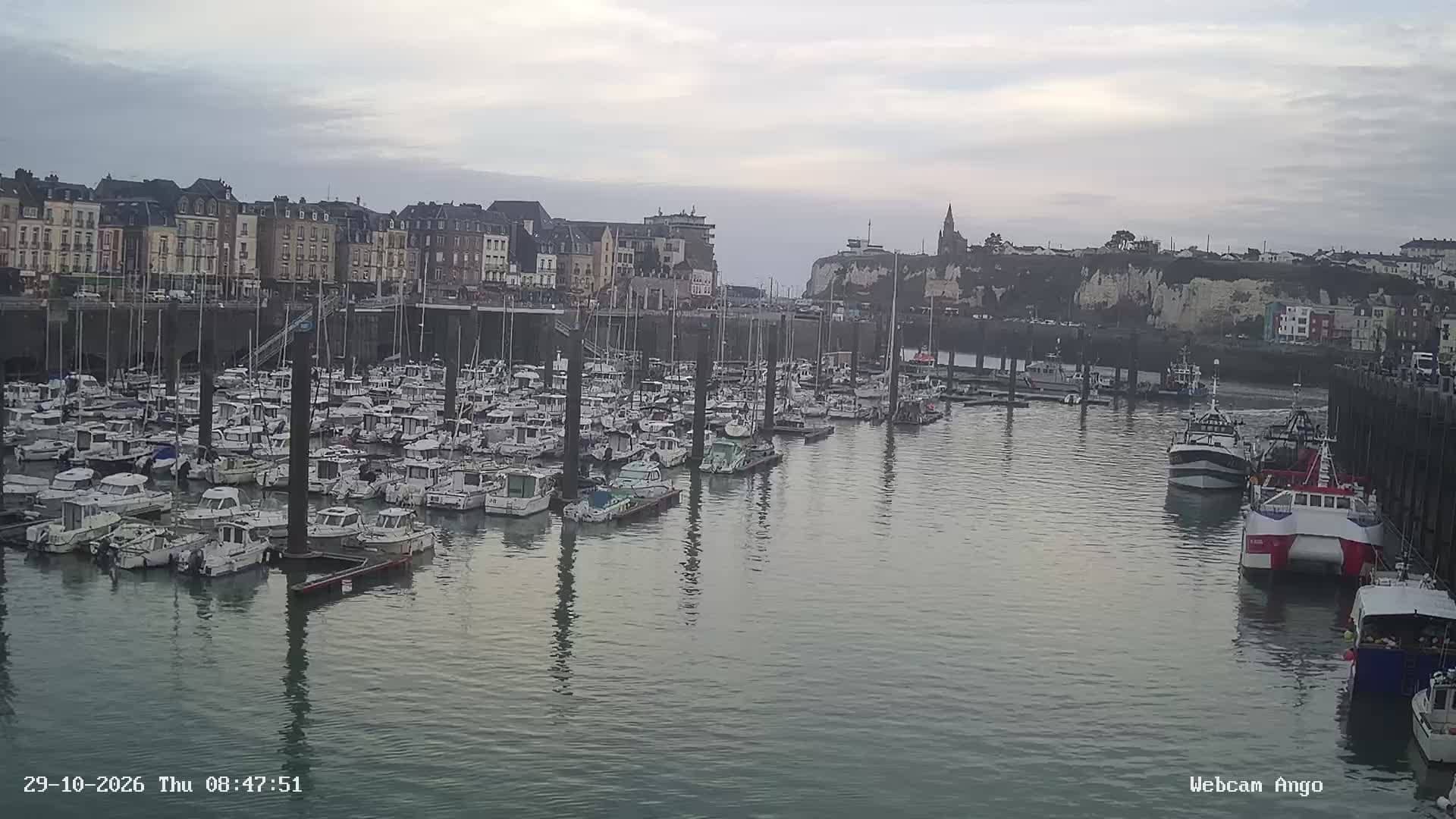
Dieppe - Ango
Normandy, France — 2 km
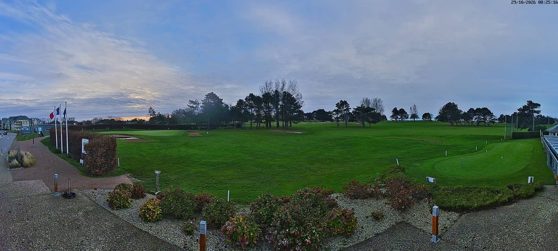
Dieppe - Golf
🇫🇷 Normandy · France — Altitude 87 m
This live stream looks out over the golf course at Dieppe, a port town on the English Channel coast of Normandy. It is a quick way to see how the course and the surrounding coast look right now, before you plan a round or a walk. The local time, weather and map on this page update alongside the video.
Dieppe lies on the chalk cliffs of the Upper Normandy coast, facing England across the Channel. The town has a long history as a fishing and ferry port and is known for its pebble beach, its castle overlooking the harbour and its links with the Impressionist painters who worked along this shore. The landscape around it is open, green and shaped by sea wind, which gives the golf course a distinctly coastal character.
The camera is aimed at the golf course, so the view is mainly of fairways, greens and the open sky above them. Coastal courses change quickly with the light, so mornings with low sun and afternoons with clearing skies are often the most interesting times to look. Strong wind and passing showers are common here, and you may see them move across the grass in minutes.
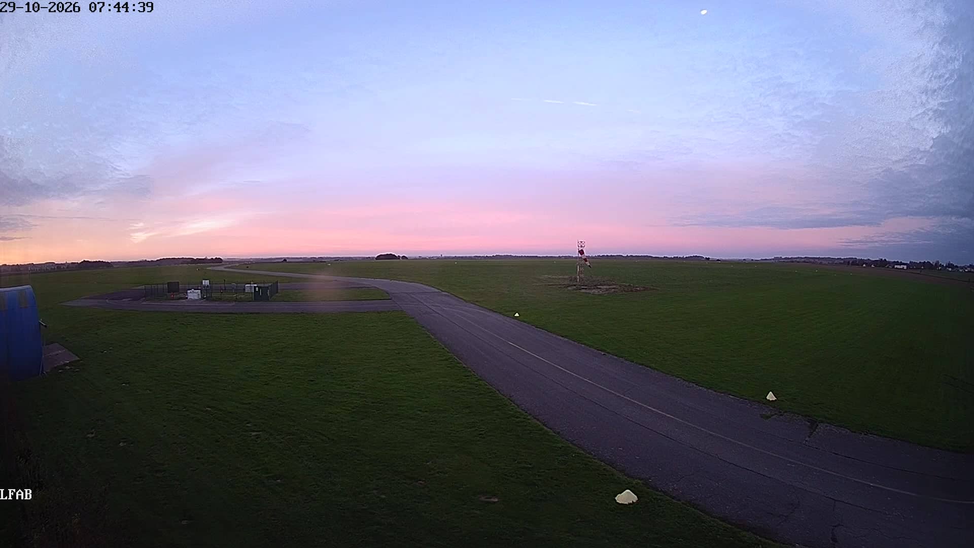
Normandy has a mild, damp maritime climate, with cool summers and wet, windy winters. Late spring and early autumn are usually the most pleasant seasons for a visit. Dieppe is reached by road from Rouen and Le Havre, and the town has a railway station and ferry connections. Other cameras in the area, including Dieppe Ango and the Dieppe airfield views, are listed on this page for comparison.
Source: Golf de Dieppe
Normandy, France — 2 km
Normandy, France — 4.5 km
Normandy, France — 4.7 km

Normandy, France — 8 km
Normandy, France — 13 km
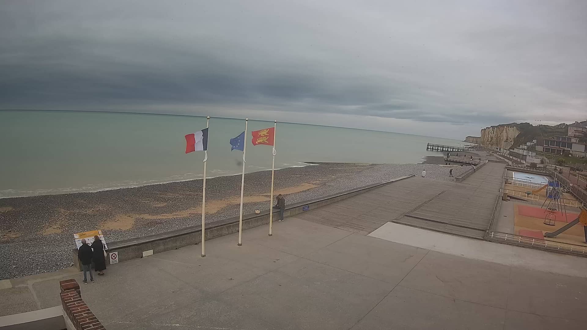
Normandy, France — 19 km
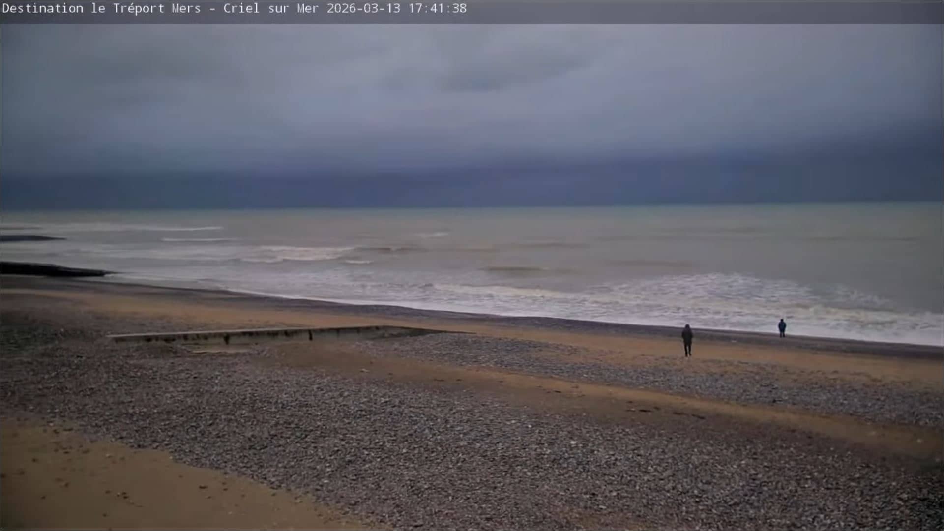
Normandy, France — 23 km
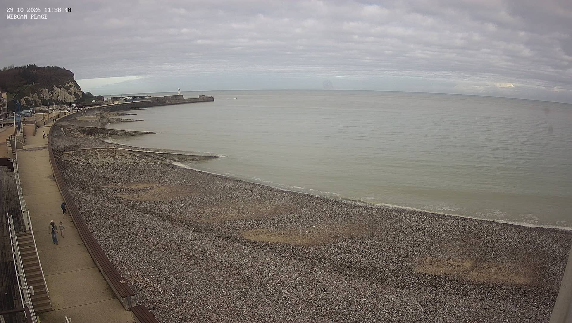
Normandy, France — 25 km
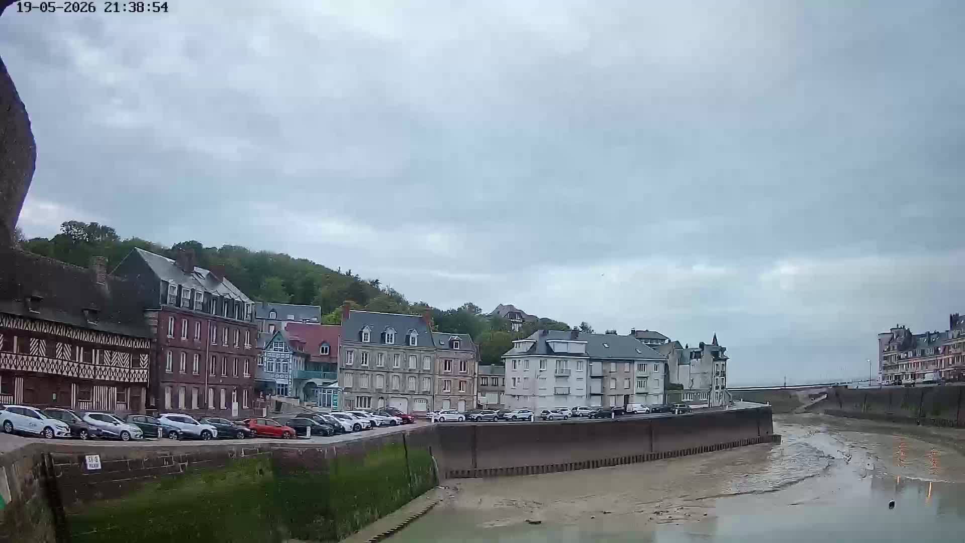
Normandy, France — 25 km
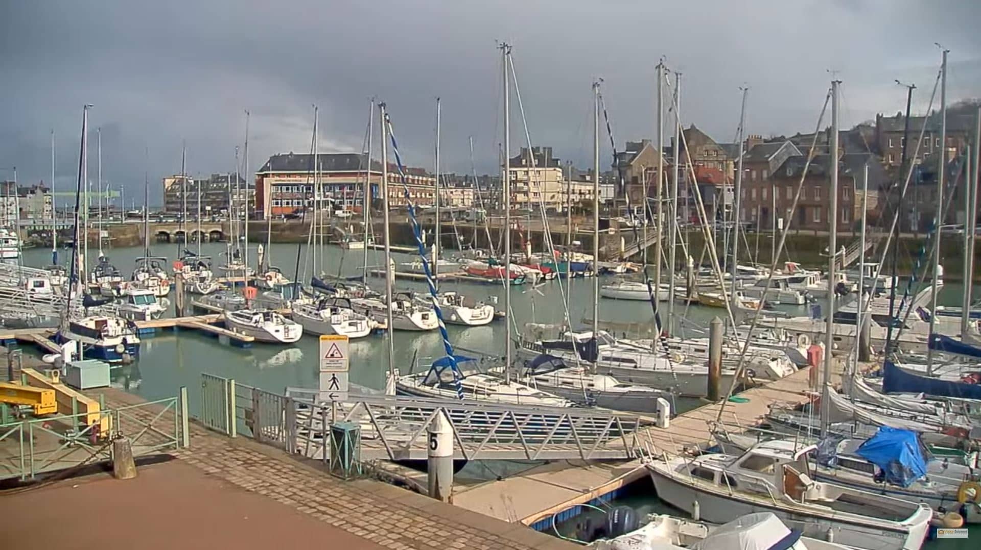
Normandy, France — 25 km
The current weather and a three-day forecast for Dieppe are shown in the live block on this page and update automatically. Coastal conditions can change quickly, so check it before heading out.
The local time in Dieppe is displayed on this page and updates live. It follows the French local time used across Normandy.
The camera is located at the Dieppe golf course on the Normandy coast, and its exact coordinates are shown on the map on this page. The town sits on the English Channel, roughly between Rouen and Le Havre.
Mornings and late afternoons usually give the clearest light and the most visible changes in weather over the course. Check the live weather on this page first to see whether skies are likely to be clear.
Partner links: we may earn a commission at no extra cost to you.