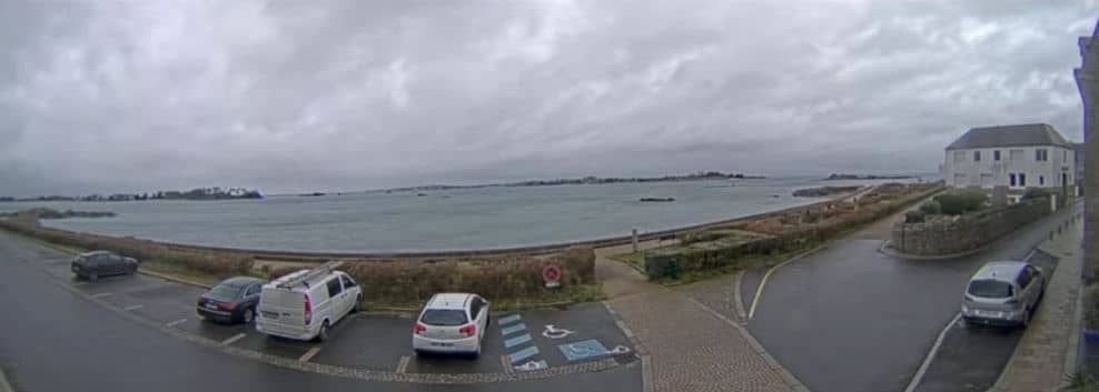
Roscoff - Île de Batz
Brittany, France — 0.6 km
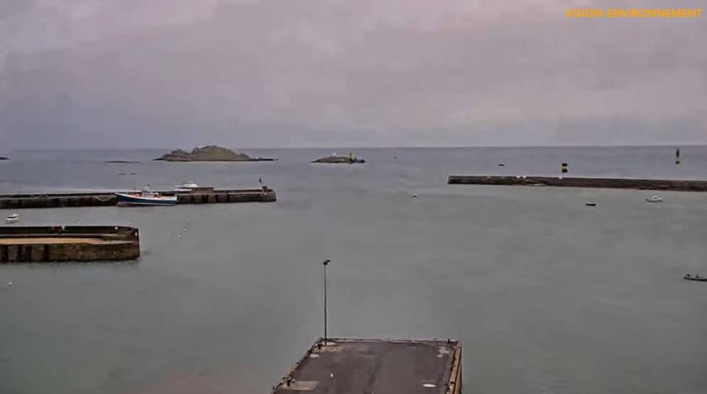
Roscoff
🇫🇷 Brittany · France — Altitude 7 m
This live stream looks over the harbour of Roscoff, a working port on the north coast of Brittany. It is a practical way to check how the harbour and the sea look before you plan a crossing, a walk or a visit to the town.
Roscoff is a small town on the granite coast of northern Brittany, facing the English Channel. It has long been linked with the sea: it was a fishing and trading port for centuries, and today ferries connect it with Britain and the Île de Batz. The old town has narrow streets, stone houses and a strong maritime character, and the light over the water changes quickly with the tide and the weather.
The camera is aimed at a port, so the most useful things to watch are boat movements, the state of the water at different tides and the general look of the sky over the coast. Activity is usually busiest in the morning and around ferry departures, while low tide reveals more of the harbour floor. Clear mornings and changing weather often give the most interesting views.
Roscoff has a mild oceanic climate, with cool, wet winters and fairly mild summers. Strong winds are common, so a windproof jacket is useful year round. The nearby Île de Batz can be reached by boat, and the coast around Saint-Pol-de-Léon and Carantec has further cameras you can browse from this page.
Source: OT Roscoff
Brittany, France — 0.6 km
Brittany, France — 3.9 km
Brittany, France — 4.6 km
Brittany, France — 8.2 km

Brittany, France — 11 km
Brittany, France — 12 km
Brittany, France — 12 km
Brittany, France — 18 km
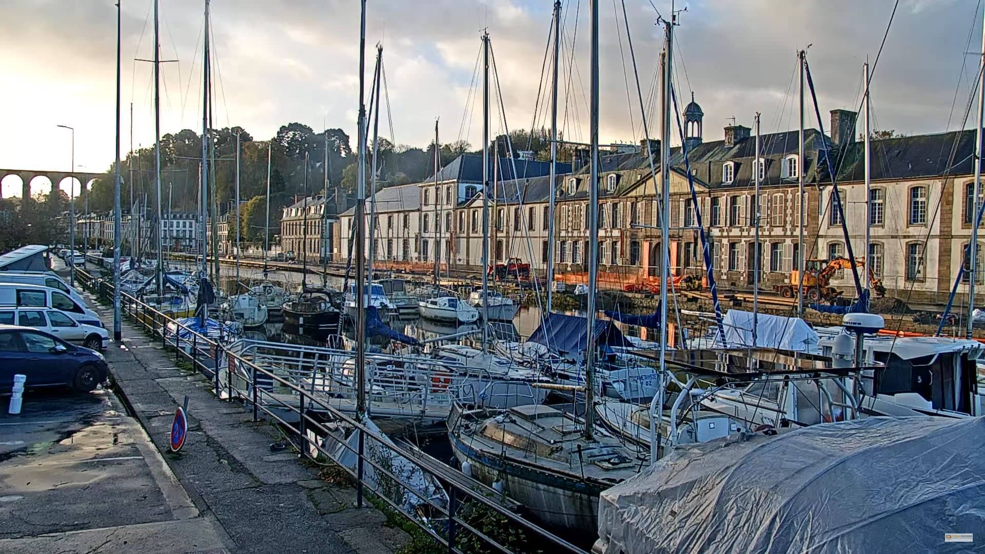
Brittany, France — 19 km
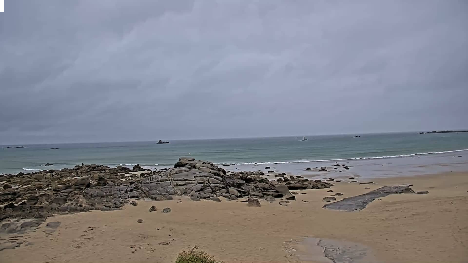
Brittany, France — 19 km
The current conditions and a three-day forecast for Roscoff are shown in the weather block on this page. They update automatically, so you can check them before heading to the harbour.
The local time for Roscoff is shown above the live player. It follows French time, so it may differ from your own time zone.
The camera is located at the harbour of Roscoff in Brittany, France, and the map on this page marks its position on the north Breton coast.
Mornings and ferry departure times tend to be the busiest, and low tide changes how the harbour looks. Clear weather usually makes the view easiest to follow.
Partner links: we may earn a commission at no extra cost to you.