Arc-sous-Cicon
Bourgogne-Franche-Comté, France — 3.8 km
🇫🇷 Bourgogne-Franche-Comté · France — Altitude 790 m
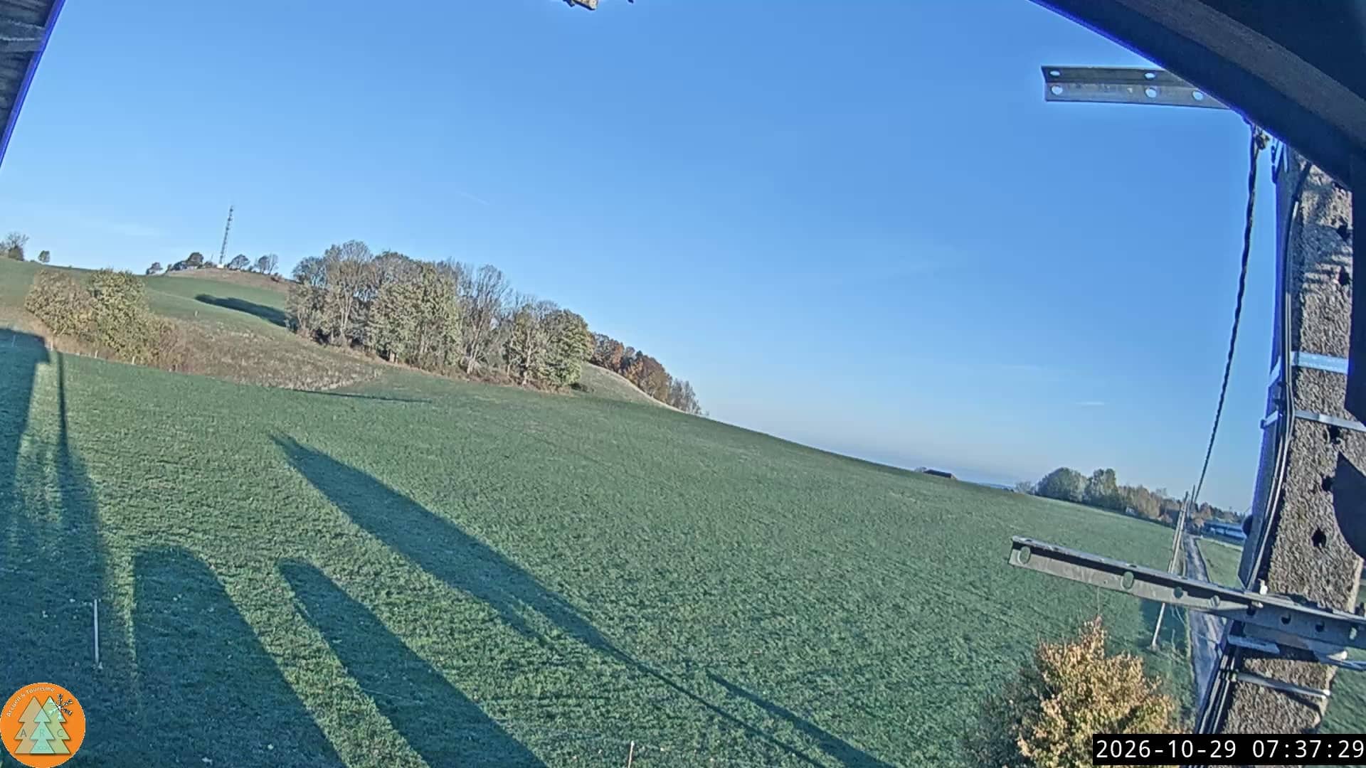
This live stream is run by the local tourist office of Arc-sous-Cicon, a small village in the Doubs area of eastern France. It gives a steady view of the village from the high plateau of the Haut-Doubs, where weather changes quickly. Check it before a drive or walk to see how conditions look right now.
Arc-sous-Cicon sits in the Franche-Comté hills near the Swiss border, at roughly 790 metres above sea level. The landscape is typical of the Jura foothills, with pastures, conifer woods and farmland separated by stone walls. Villages here are spread out and quiet, and the countryside is the main attraction. Its character comes from farming, forest and a long rural tradition rather than from large sights.
The camera follows the village and its surroundings, so the view depends on the season and the weather. Clear mornings often bring the most detail, while cloud and mist can roll over the plateau within an hour. In winter, snow can change the scene completely and is a good reason to check the stream. Summer shows green meadows, and autumn brings colour to the woods around the village.
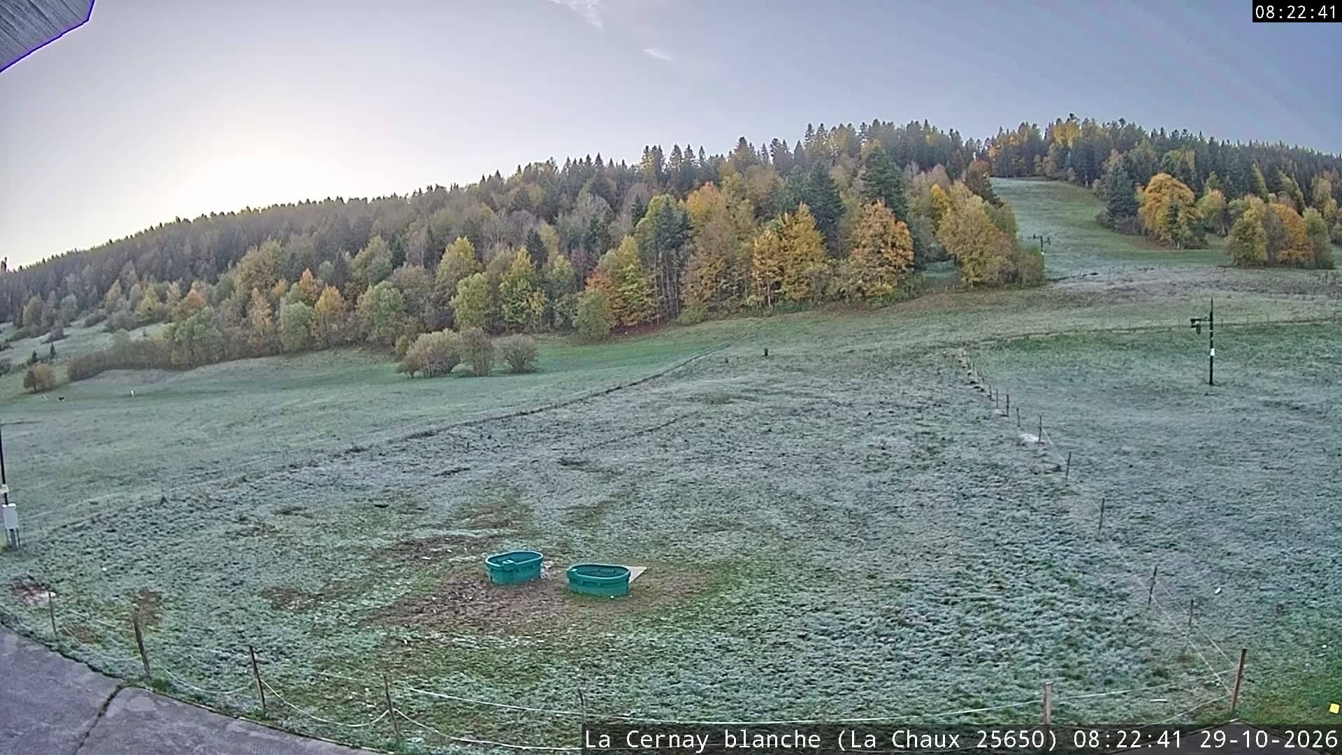
The area has a continental climate with cold, snowy winters and mild summers, and the higher ground can be windy. Spring and early autumn are good times to visit for walking. Nearby on VizCams are the cameras at La Chaux de Gilley, La Chaux and La Cernay Blanche, which are all within about five kilometres and show neighbouring stretches of the same upland.
Source: Accueil Tourisme Arc-sous-Cicon
Bourgogne-Franche-Comté, France — 3.8 km
Bourgogne-Franche-Comté, France — 5 km
Bourgogne-Franche-Comté, France — 5.4 km
Bourgogne-Franche-Comté, France — 12 km

Neuchâtel, Switzerland — 18 km
Neuchâtel, Switzerland — 19 km

Neuchâtel, Switzerland — 23 km
Bourgogne-Franche-Comté, France — 24 km

Neuchâtel, Switzerland — 25 km

Vaud, Switzerland — 26 km
The current conditions and a three-day forecast are shown in the live weather block on this page. They update automatically, so you do not need to check another site.
The local time is displayed on this page and follows the French local time zone, including daylight saving changes.
The village lies in the Doubs department of Bourgogne-Franche-Comté in eastern France, at about 790 metres altitude. The map on this page shows the exact position.
Daylight hours give the clearest picture, and clear mornings are often best. Winter snow and autumn colours are popular times to check the stream.
Partner links: we may earn a commission at no extra cost to you.