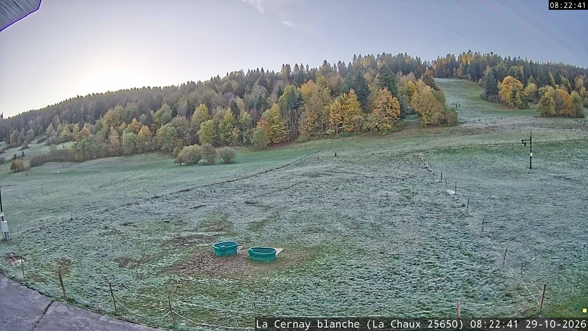
La Chaux - La Cernay Blanche
Bourgogne-Franche-Comté, France — 6.8 km
Pays-de-Montbenoît - Le Haut Saugeais Blanc
🇫🇷 Bourgogne-Franche-Comté · France — Altitude 1081 m
This live stream looks out over the Haut-Saugeais, a high plateau of the Jura in the Doubs department of eastern France. It suits anyone wanting to check current mountain conditions, snow or cloud cover before a trip, or simply to watch the Jura landscape in real time.
Pays-de-Montbenoît sits on the Haut-Doubs plateau in Bourgogne-Franche-Comté, at about 1,081 metres above sea level. The area is known for open pastures, dark spruce and fir forests, and the farming and cheese-making traditions of the Jura. Villages are small and spread out, and the rolling terrain gives long views across the ridges, especially on clear days.
The camera is set on a mountain view, so the scene will depend on the weather. Clear mornings often bring crisp light and sharp outlines of the ridges, while low cloud can roll across the plateau and hide the valleys entirely. In winter, watch for snow cover, which can change the landscape quite quickly. Late afternoon light tends to bring out the contours of the hills.
Winters here are cold and snowy, and summers are mild and green, with the best hiking and walking conditions typically from late spring to early autumn. Weather can change fast at this altitude, so check the forecast on this page before travelling. Nearby cameras include La Chaux - La Cernay Blanche, La Chaux de Gilley, Arc-sous-Cicon and La Brévine - Lac des Taillères, all within about 10 km.
Source: Le Haut Sajeais Blanc
Bourgogne-Franche-Comté, France — 6.8 km
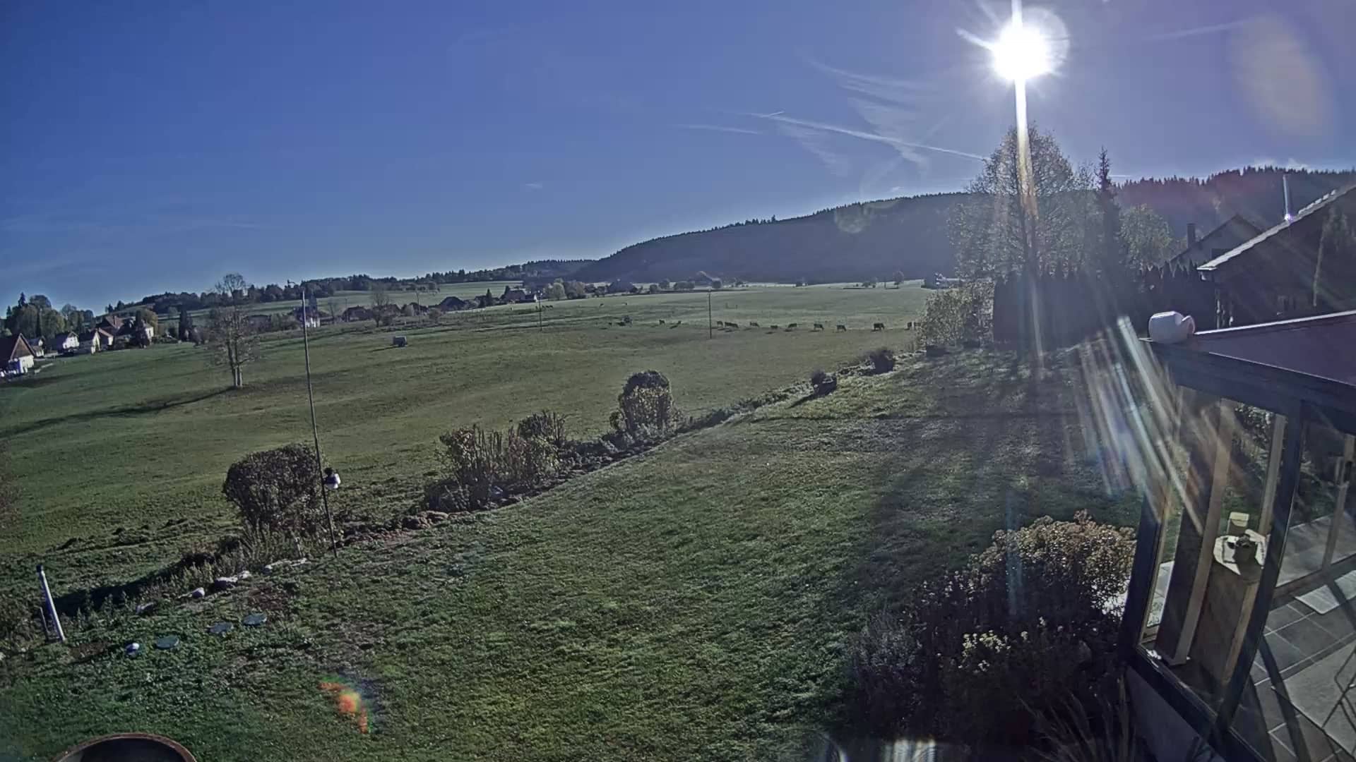
Bourgogne-Franche-Comté, France — 7.2 km
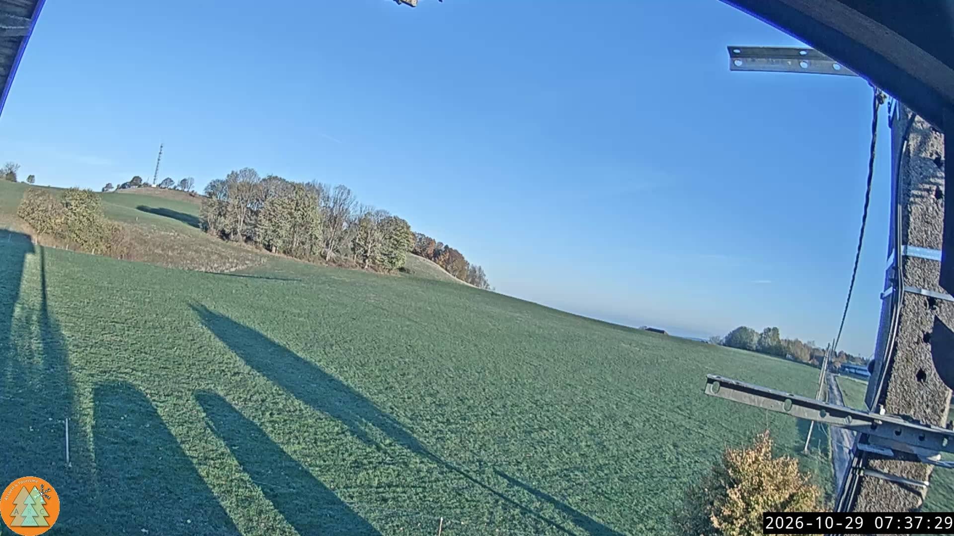
Bourgogne-Franche-Comté, France — 8.7 km

Neuchâtel, Switzerland — 9.9 km
Neuchâtel, Switzerland — 12 km

Neuchâtel, Switzerland — 12 km
Bourgogne-Franche-Comté, France — 12 km
Bourgogne-Franche-Comté, France — 14 km

Vaud, Switzerland — 14 km
Bourgogne-Franche-Comté, France — 21 km
The current conditions and a 3-day forecast for Pays-de-Montbenoît are shown in the live weather block on this page. Because the village is at about 1,081 metres, it can be noticeably colder and windier than towns in the lowlands.
The local time for Pays-de-Montbenoît in France is displayed live on this page, so you can see whether it is daylight there before you watch.
The camera is in the Pays-de-Montbenoît area of the Doubs department, in the Bourgogne-Franche-Comté region of eastern France. The map on this page shows its position on the Jura plateau.
Clear daytime hours give the clearest views, and winter mornings can show snow-covered ridges. Check the weather block first, since cloud often hides the view on damp or foggy days.
Partner links: we may earn a commission at no extra cost to you.