Lyon - La Pape
Auvergne-Rhône-Alpes, France — 0.7 km
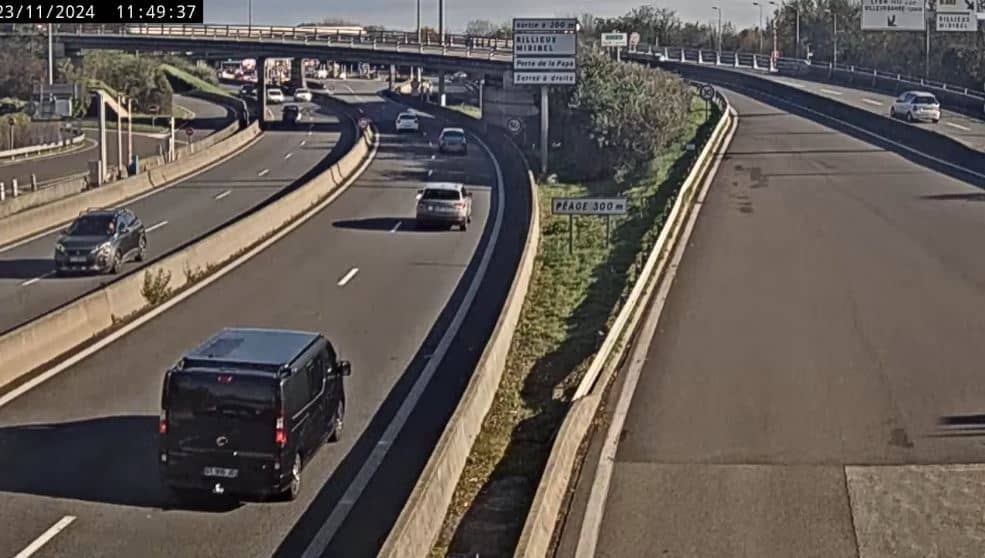
Lyon - Saint Clair
🇫🇷 Auvergne-Rhône-Alpes · France — Altitude 181 m
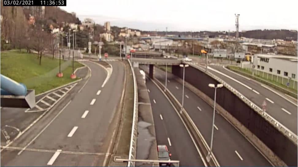
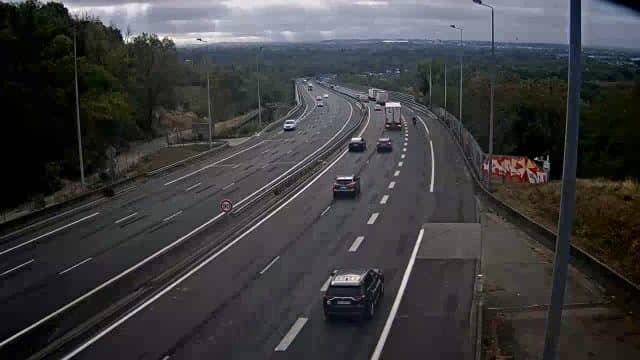
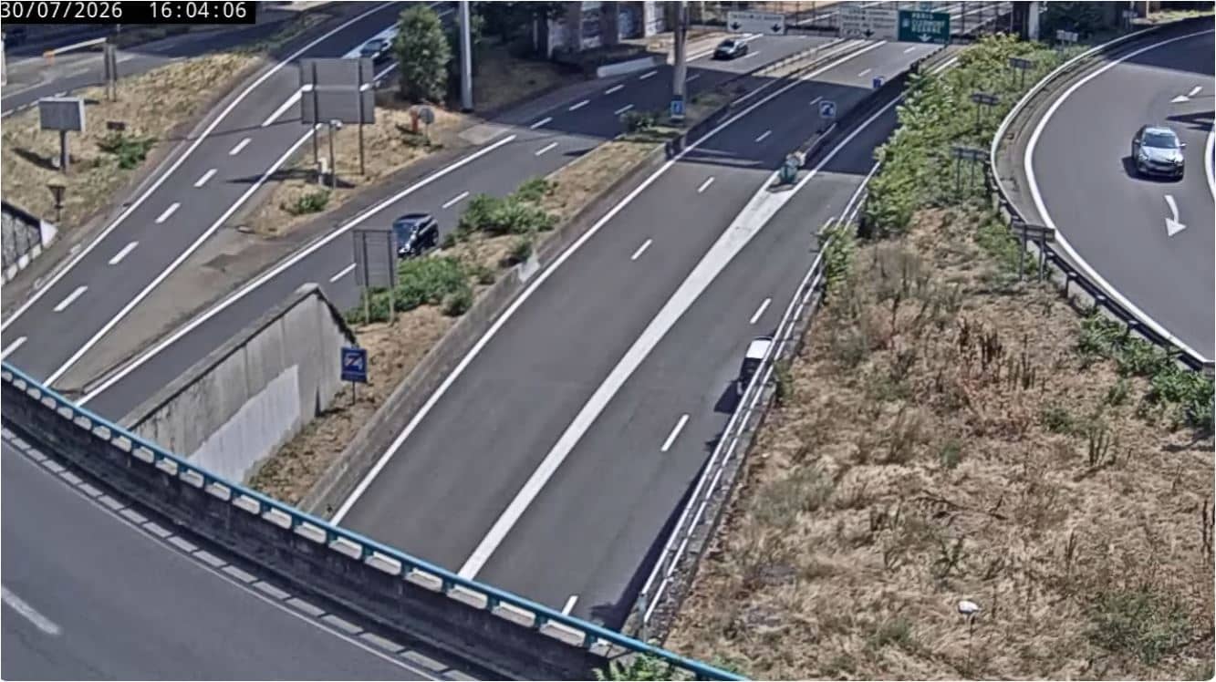
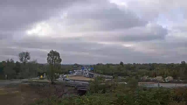
This live stream looks out over the Saint Clair area on Lyon's northern side, close to the Périphérique Nord ring road. It is useful for anyone who wants a current look at traffic flow and conditions in the Rhône valley before travelling or commuting.
Saint Clair sits on the slopes and flat ground of the Croix-Rousse district's northern edge, where Lyon meets the Caluire hills. Lyon lies at the confluence of the Rhône and Saône rivers and is known for its Renaissance old town, silk-weaving heritage and food culture. The city is a major transport hub, so the northern approaches are busy and well-used throughout the day.
As a road-focused view, the camera is most informative during the morning and evening peaks, when vehicle flow tends to build on the ring road. Depending on the framing and weather, you may also notice fog settling in the river valley in autumn and winter, or clear skies after a cold front. Watching a few minutes gives a good sense of how the traffic is moving at that moment.
Lyon has a temperate climate with warm summers and mild, sometimes damp winters, and spring and early autumn are generally the most comfortable seasons to visit. The city is easy to reach by train and motorway. Nearby cameras on this site include La Pape, Luizet and Vaise, as well as the Porte de la Pape view in Caluire-et-Cuire, which together cover the northern corridor.
Source: Périphérique Nord Lyon
Auvergne-Rhône-Alpes, France — 0.7 km
Auvergne-Rhône-Alpes, France — 1.5 km
Auvergne-Rhône-Alpes, France — 2.6 km
Provence-Alpes-Côte d'Azur, France — 4.8 km
Auvergne-Rhône-Alpes, France — 4.9 km
Auvergne-Rhône-Alpes, France — 5 km

Auvergne-Rhône-Alpes, France — 5.4 km
Auvergne-Rhône-Alpes, France — 6 km
Auvergne-Rhône-Alpes, France — 6.1 km

Auvergne-Rhône-Alpes, France — 8.2 km
Current conditions and the 3-day forecast for this location are shown in the weather block on this page, updated automatically.
The local time for this camera is displayed on the page and follows the French time zone, including daylight saving changes.
The camera is in the Saint Clair area of northern Lyon, near the Périphérique Nord ring road. The map on the page shows its position.
Weekday morning and evening peaks are typically the busiest moments on the ring road, so those are often the most active times to check the view.
Partner links: we may earn a commission at no extra cost to you.