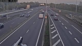
Caluire-et-Cuire - Périphérique Nord - Porte de la Pape
Auvergne-Rhône-Alpes, France — 3.9 km
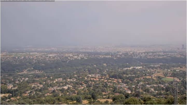
Lyon - Mont Cindre
🇫🇷 Auvergne-Rhône-Alpes · France — Altitude 506 m
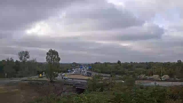
This live stream looks out from Mont Cindre, a hill overlooking Lyon in the Auvergne-Rhône-Alpes region of France. It is a good way to judge the sky and visibility over the city before you head out. The page adds local time, current conditions and a forecast beside the player.
Mont Cindre rises to about 500 metres on the western edge of the Lyon metropolitan area, a short distance from the city centre. Lyon sits at the meeting point of the Rhône and Saône rivers and is known for its Renaissance old town, its silk-weaving history and its food. From higher ground like this, the layout of the city and the surrounding hills becomes easier to read. The area is wooded and sits between urban and rural landscapes.
The title points to a viewpoint over Lyon, so the most useful views are usually of the city, the rivers and the valleys leading out of it. Clear mornings and evenings tend to give the best visibility, while haze or low cloud can hide the lower city. Watching during the change from day to night often shows how the city lights come on. Autumn and winter can bring fog in the river valleys, which is worth keeping in mind when you check the live view.
Lyon has a temperate climate with warm summers and cool, sometimes damp winters, so checking the current weather above is worthwhile before planning a visit. Spring and early autumn are generally pleasant for walking. Nearby cameras on this site cover Caluire-et-Cuire, Vaise, Saint Clair and La Pape, which can help you compare conditions across different parts of the city.
Source: Mont Cindre Webcam
Auvergne-Rhône-Alpes, France — 3.9 km
Provence-Alpes-Côte d'Azur, France — 4.9 km
Auvergne-Rhône-Alpes, France — 5 km
Auvergne-Rhône-Alpes, France — 5.2 km
Auvergne-Rhône-Alpes, France — 6.4 km
Auvergne-Rhône-Alpes, France — 7.3 km
Auvergne-Rhône-Alpes, France — 7.6 km

Auvergne-Rhône-Alpes, France — 8.5 km
Auvergne-Rhône-Alpes, France — 8.9 km

Auvergne-Rhône-Alpes, France — 13 km
The current conditions and a 3-day forecast are shown in the weather block on this page, updated for the camera location. Check it before relying on the view, since cloud and haze can change quickly.
The local time for the camera location is displayed on the page. Lyon follows French local time, which is used across mainland France.
The camera is on Mont Cindre, a hill west of central Lyon at roughly 506 metres altitude. The map on this page shows its exact position relative to the city.
Clear mornings and evenings usually give the best visibility over the city. Watching at dusk is popular for seeing the lights come on across Lyon.
Partner links: we may earn a commission at no extra cost to you.