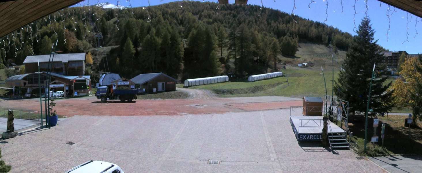
Les Karellis
Auvergne-Rhône-Alpes, France — 8.7 km

The camera is temporarily offline
The owner's stream is not available right now. Try again later or watch a camera nearby.
Saint-Michel-de-Maurienne - A43 Amont du Péage
🇫🇷 Auvergne-Rhône-Alpes · France
This live stream follows the A43 motorway in Saint-Michel-de-Maurienne, upstream of the toll plaza in the Maurienne valley. It is useful for anyone planning a drive towards the Italian border, the Fréjus tunnel or the ski resorts above Valloire. The view is a traffic camera, so the picture changes with the flow of vehicles and the weather.
Saint-Michel-de-Maurienne is a small town on the floor of the Maurienne valley in Savoie, in the French Alps. The valley follows the Arc river and carries the main road and railway route from Chambéry towards Italy. Steep mountain slopes rise on both sides, and the town is a common stop for travellers heading to the Galibier and Lauzière passes and to the Vanoise National Park region.
As a traffic camera, the stream is mainly useful for seeing how busy the road is and whether traffic is moving smoothly. Congestion is most likely on summer weekends, during the August holiday exchanges and on winter Saturdays when skiers head up the valley. Early mornings and evenings tend to be quieter, while fog or snow in the valley can reduce visibility, depending on the conditions on the day.
The valley has a mountain climate with warm summers and cold, snowy winters. Summer is the best season for touring the surrounding passes, and winter brings snow tyre and chain requirements on many mountain roads. The Karellis and Valloire-Sétaz cameras are nearby, and the Modane tunnel entrance cameras are about 13 km away, so you can check conditions along your route before setting off.
Source: bison-fute.gouv.fr
Auvergne-Rhône-Alpes, France — 8.7 km
Auvergne-Rhône-Alpes, France — 9 km

Auvergne-Rhône-Alpes, France — 13 km

Auvergne-Rhône-Alpes, France — 13 km

Auvergne-Rhône-Alpes, France — 15 km
Auvergne-Rhône-Alpes, France — 19 km
Auvergne-Rhône-Alpes, France — 22 km
Auvergne-Rhône-Alpes, France — 26 km
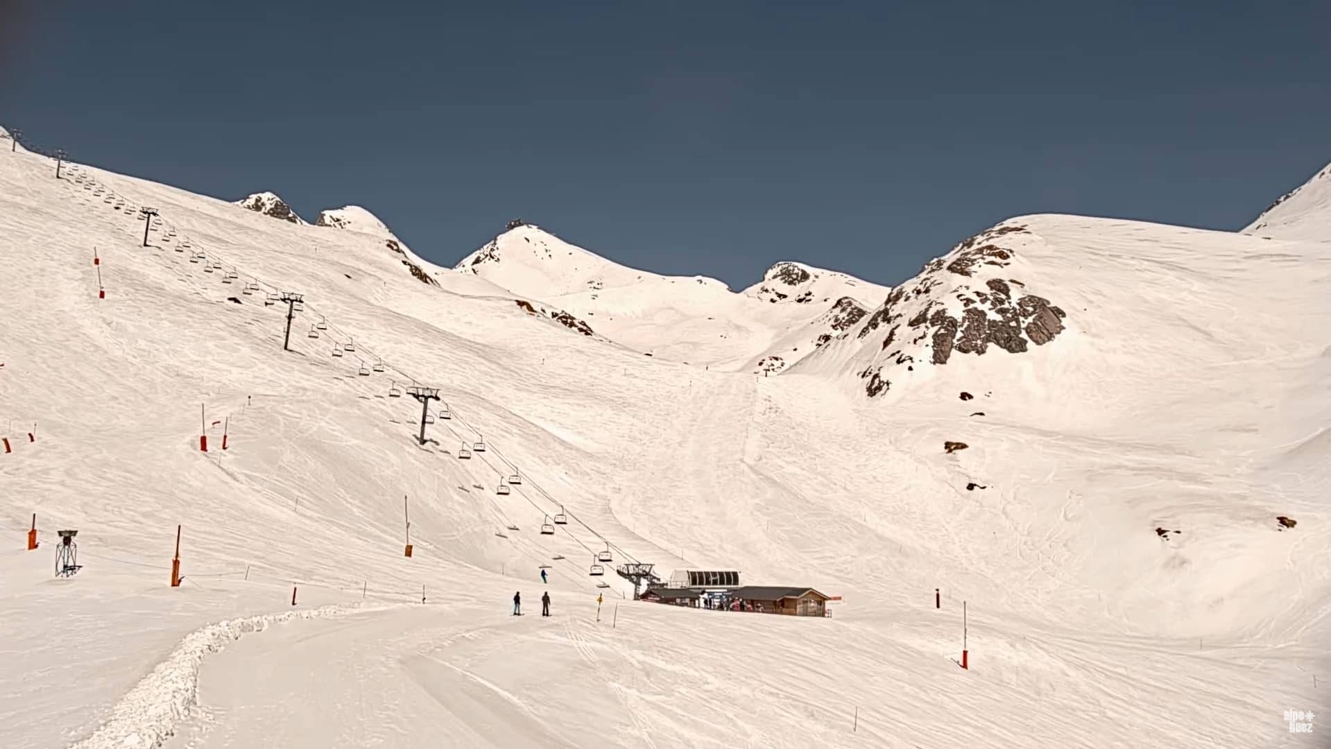
Auvergne-Rhône-Alpes, France — 34 km
Provence-Alpes-Côte d'Azur, France — 34 km
The current conditions and the three-day forecast are shown in the live weather block on this page. They update automatically, so you can check before you set off.
The local time for the valley is shown above the camera and updates live. It follows the French time zone, which is the same as Central European Time.
The camera watches the A43 motorway upstream of the toll plaza in Saint-Michel-de-Maurienne, in the Savoie department of the Auvergne-Rhône-Alpes region. The map on the page marks its position.
Summer weekends and winter Saturdays are usually the busiest, when holiday traffic and skiers travel through the valley. Early mornings are typically quieter for a clearer view of the flow.
Partner links: we may earn a commission at no extra cost to you.