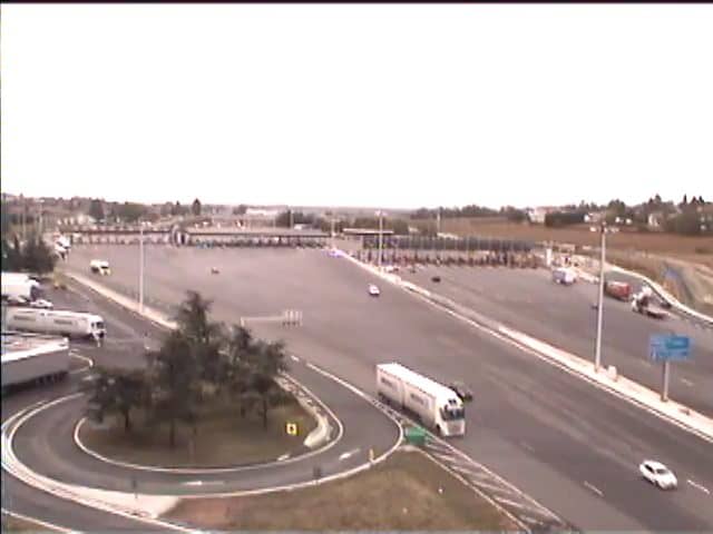
Reventin-Vaugris - A7 Vienne
Auvergne-Rhône-Alpes, France — 6.5 km
The camera is temporarily offline
The owner's stream is not available right now. Try again later or watch a camera nearby.
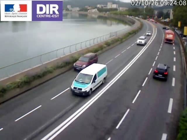
Vienne - N7 PR 5+434
🇫🇷 Auvergne-Rhône-Alpes · France
This live stream follows the N7 national road at Vienne, a town on the Rhône in south-eastern France. It is a traffic camera, so the feed is aimed at the carriageway rather than the scenery. People watch it to judge flow before heading out, or to get a sense of conditions on this busy route.
Vienne sits on the left bank of the Rhône, about 30 kilometres south of Lyon, in the Isère department. The town is known for its Roman heritage, including the ancient temple of Augustus and Livia and the Saint-Maurice cathedral, and for its position at the crossroads of the Rhône valley. The land around it is flat by the river and rises gently into vineyards and orchards to the east and west. The N7 has long been one of the main routes linking Lyon with the south of France and the Mediterranean coast, so the road carries heavy mixed traffic throughout the year.
The category of this camera is traffic, so what you see is vehicles on the road and the general state of the carriageway. The view can help you spot slow traffic, queues or lighter flow, though you should confirm the details yourself on the day. Weekday mornings and late afternoons usually bring the heaviest volumes, while summer weekends and holiday departures can make the route busy at unusual times. Night and poor weather can make the image harder to read. For a wider picture, the other cameras on the same network are listed on this page.
The Rhône valley has mild, fairly sunny winters and warm summers, so the road is usually open and dry, but fog, rain and occasional heavy storms can affect visibility. Nearby cameras include the A7 at Reventin-Vaugris, about 7 km away, and the A7 at Ternay, about 9 km away. Further afield you can check the A47 at Givors and the A46 near Saint-Priest. Live weather for Vienne is shown on this page so you can plan around conditions.
Source: bison-fute.gouv.fr
Auvergne-Rhône-Alpes, France — 6.5 km
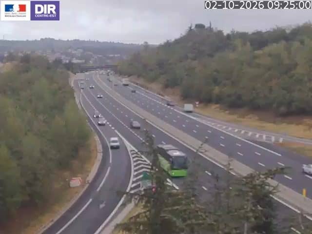
Auvergne-Rhône-Alpes, France — 8.8 km
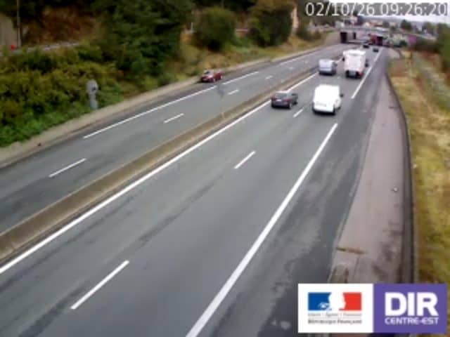
Auvergne-Rhône-Alpes, France — 11 km
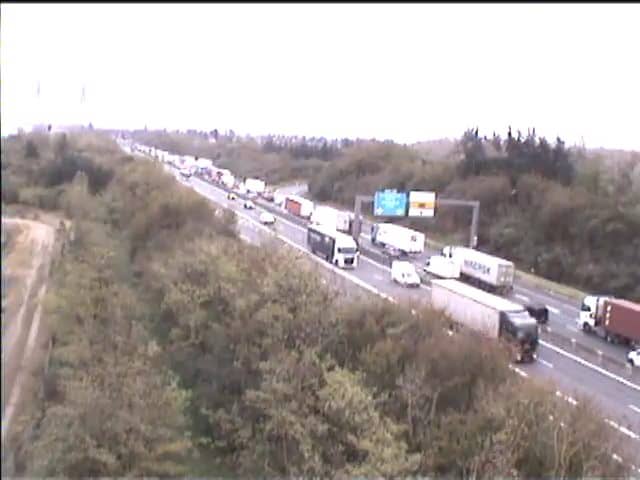
Auvergne-Rhône-Alpes, France — 16 km
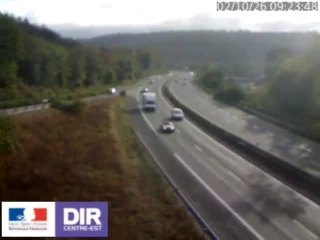
Auvergne-Rhône-Alpes, France — 17 km
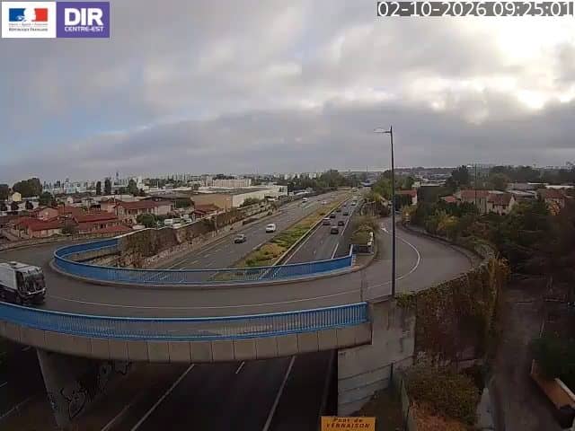
Auvergne-Rhône-Alpes, France — 18 km
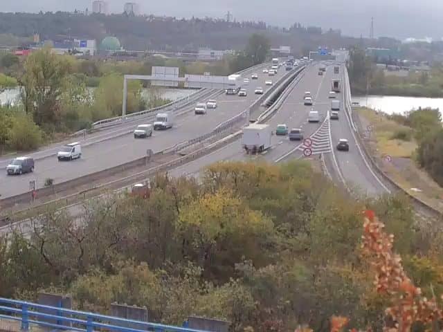
Auvergne-Rhône-Alpes, France — 19 km
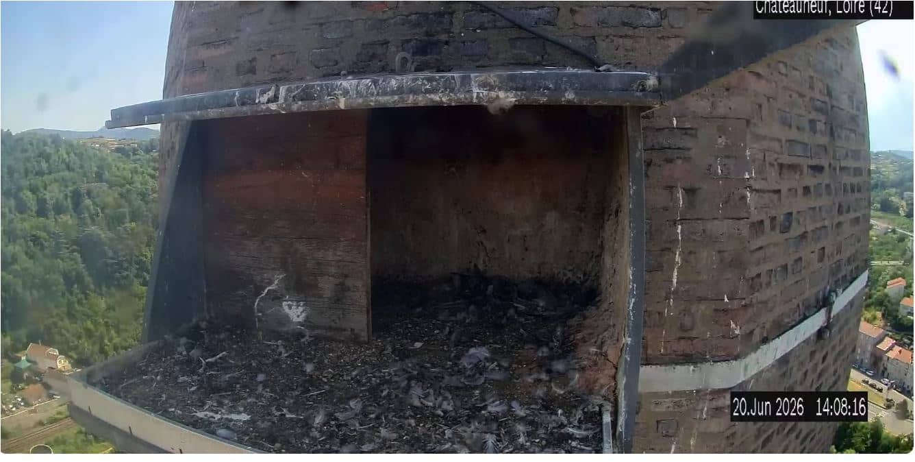
Auvergne-Rhône-Alpes, France — 19 km

Auvergne-Rhône-Alpes, France — 20 km
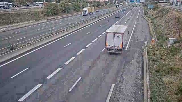
Auvergne-Rhône-Alpes, France — 20 km
The current conditions and a three-day forecast for Vienne are shown in the live weather block on this page. They update automatically, so you can check them before you set off.
The local time in Vienne is displayed on this page and follows the French time zone, including daylight saving changes. It is shown live so you can compare it with your own time.
The camera is on the N7 national road at Vienne, Isère, in the Auvergne-Rhône-Alpes region of France. The map on this page marks its position along the route.
Weekday mornings and late afternoons are usually the busiest periods on this road, so they are the most useful times to check flow. Holiday weekends can also bring unusual traffic.
Partner links: we may earn a commission at no extra cost to you.