
Saint-Priest - A46 St Priest (Bel Air)
Auvergne-Rhône-Alpes, France — 0.7 km
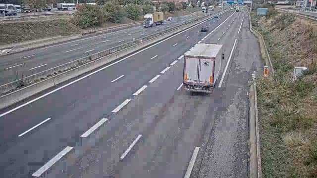
The camera is temporarily offline
The owner's stream is not available right now. Try again later or watch a camera nearby.
Saint-Priest - Bifurcation A43-A46 aire de Manissieux
🇫🇷 Auvergne-Rhône-Alpes · France
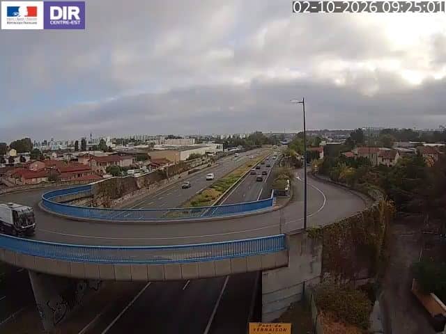
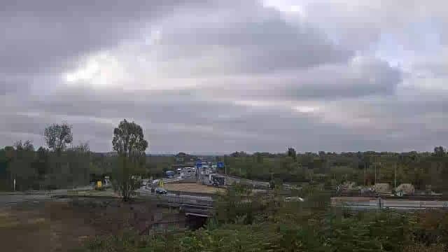
This camera watches the A43 and A46 motorway junction at the Manissieux rest area, on the eastern edge of Saint-Priest, close to Lyon. It is a traffic view, so it is useful for seeing whether the approaches are flowing or backing up. The stream comes from the road operator's network and is embedded here with a link back to its source.
Saint-Priest is a suburban town on the eastern side of the Lyon metropolitan area, just beyond the city's airport. It sits where several major routes meet, which is why the junction here carries heavy commuter and freight traffic. The surrounding land is a mix of business parks, warehouses and residential districts, with the Rhône valley and the city of Lyon lying to the west. The character is practical rather than scenic, shaped by its role as a transport hub.
The camera shows the traffic flow at the split between the two motorways, so the main thing to watch is how vehicles merge and separate. Weekday morning and evening peaks tend to be the busiest, while late evenings and weekends usually bring lighter flow. Rain and fog can slow traffic noticeably, and the view can show these conditions as they develop. Keep in mind that the picture is only a snapshot of the road, not a forecast.
Lyon has a temperate climate with warm summers and cool, sometimes damp winters, so road conditions change with the season. If you are planning a trip through the junction, checking the view shortly before departure helps you judge the timing. Nearby cameras on the A46 at Saint-Priest, on the N346 and on the A43 near Bron cover other stretches of the same network, so you can follow your route along the way.
Source: bison-fute.gouv.fr
Auvergne-Rhône-Alpes, France — 0.7 km

Auvergne-Rhône-Alpes, France — 1.5 km
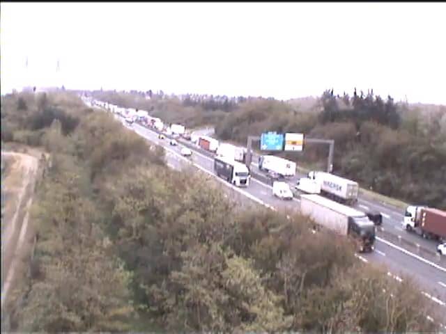
Auvergne-Rhône-Alpes, France — 4.1 km

Auvergne-Rhône-Alpes, France — 5.6 km

Auvergne-Rhône-Alpes, France — 8.8 km
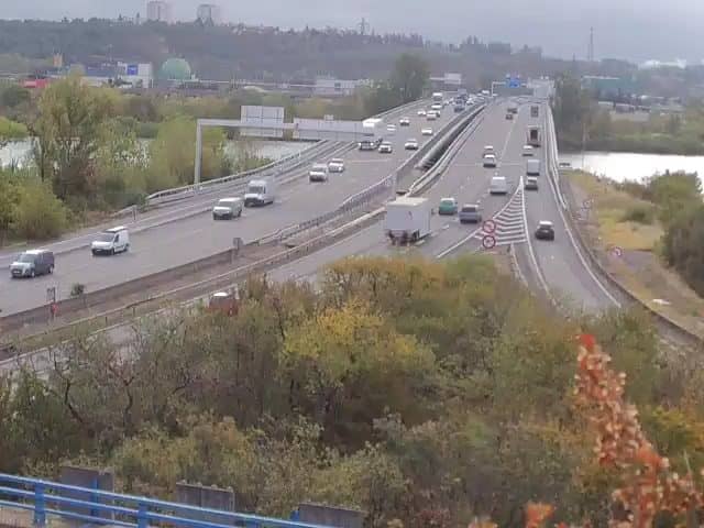
Auvergne-Rhône-Alpes, France — 11 km
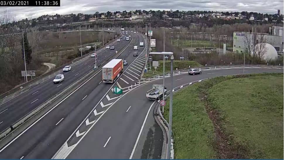
Auvergne-Rhône-Alpes, France — 11 km
Auvergne-Rhône-Alpes, France — 12 km

Auvergne-Rhône-Alpes, France — 12 km
Auvergne-Rhône-Alpes, France — 13 km
The camera is at the A43 and A46 junction near the Manissieux rest area in Saint-Priest, on the eastern edge of Lyon. The exact coordinates are shown on the map on this page.
The current conditions and a three-day forecast for Saint-Priest are shown in the weather block on this page. They update automatically and are more reliable than any description written here.
The local time for Saint-Priest is displayed live on this page, following the French time zone including daylight saving changes.
Weekday mornings and late afternoons usually show the heaviest traffic at this junction. Quieter views are more typical late in the evening and at weekends.
Partner links: we may earn a commission at no extra cost to you.