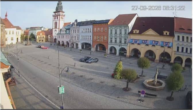
Chomutov - Náměstí 1. máje - Zone historique
Ústí nad Labem Region, Czechia — 17 km
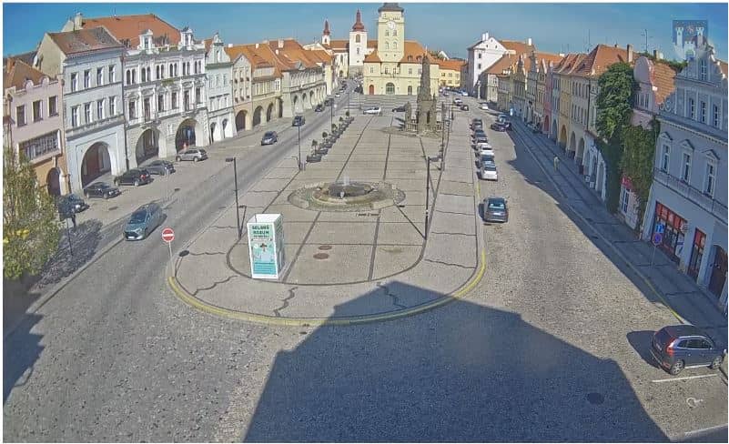
Žatec - Place de la Liberté (náměstí Svobody)
🇨🇿 Ústí nad Labem Region · Czechia — Altitude 250 m
This live camera looks out over Place de la Liberté, the main square of Žatec, a historic town in north-western Bohemia. It is a good way to check how the old centre looks right now and what the weather is doing before you travel. The stream is provided by the town of Žatec and is embedded here with a link to its source.
Žatec sits on the Ohře river in the Ústí nad Labem Region of the Czech Republic, at roughly 250 metres above sea level. The town is best known as the centre of Czech hop growing and gives its name to the Žatec hop variety, which is still prized by brewers. Its historic core, with burgher houses and a compact medieval layout, is built around the square, so the square is where daily life in the town tends to gather.
Since the camera is aimed at a town square, the most interesting moments are usually during the morning and late afternoon, when people are out shopping or sitting at cafés. Activity tends to pick up on market days and during local festivals, and the light changes noticeably with the seasons. Depending on the view, you may see pedestrians, traffic and the facades of the historic buildings. Weather such as rain or fog can change the scene quickly, so the live weather on this page is worth checking alongside the picture.
Žatec has a continental climate with warm summers and cold, often grey winters, so late spring and early autumn are generally the most pleasant times to visit. The town is easy to reach by road from Prague and other larger cities in the region. If you want to look at other places in the area, the nearby cameras include Chomutov's historic zone, the Kamencové jezero lake near Chomutov, and the town of Kadaň, all within about 25 kilometres.
Source: Ville de Žatec
Ústí nad Labem Region, Czechia — 17 km
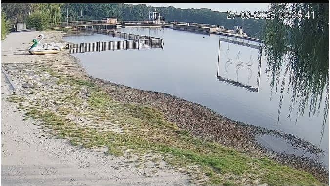
Ústí nad Labem Region, Czechia — 18 km
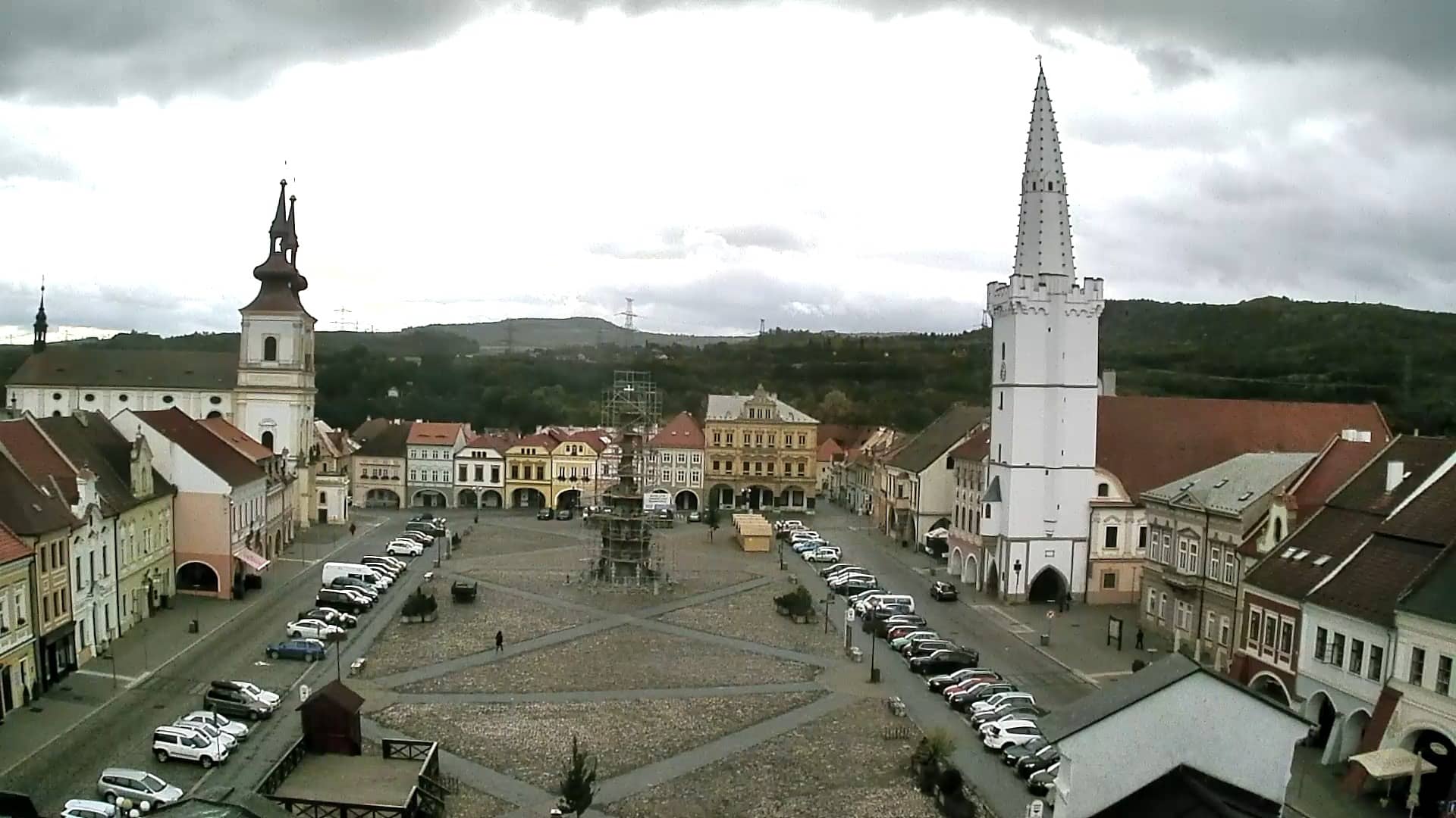
Ústí nad Labem Region, Czechia — 23 km

Central Bohemian Region, Czechia — 28 km
Ústí nad Labem Region, Czechia — 29 km
Karlovy Vary Region, Czechia — 42 km
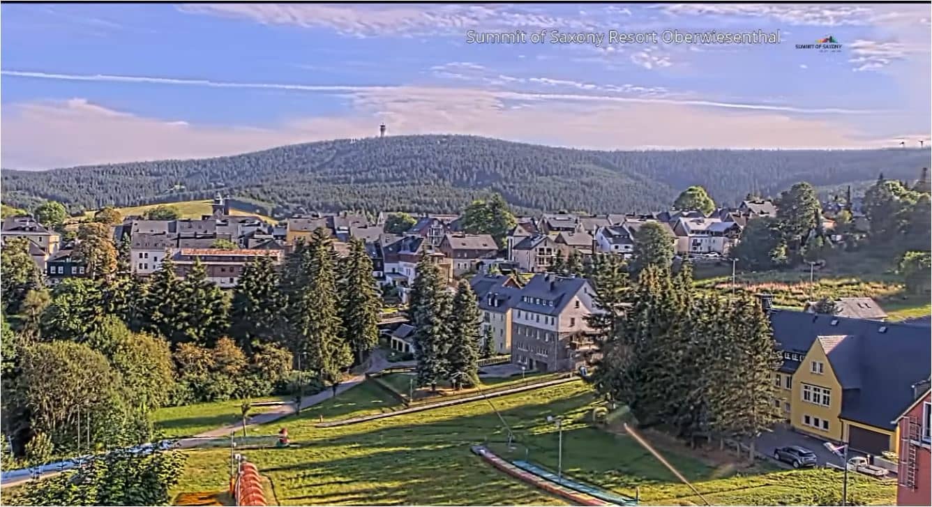
Saxony, Germany — 42 km
Saxony, Germany — 42 km
Saxony, Germany — 43 km
Saxony, Germany — 43 km
The current conditions and a three-day forecast for Žatec are shown in the weather block on this page. The values update with the page, so you can check them before you watch or plan a visit.
The local time in Žatec, which follows Central European time, is displayed on this page. It is updated live so you can compare it with your own time zone.
The camera overlooks Place de la Liberté, the main square of Žatec, at approximately 50.3272 north and 13.5457 east. The map on this page shows its exact position in the town.
Mid-morning and late afternoon usually show the most activity, especially on market days. Weather strongly affects what you see, so check the live conditions shown on the page first.
Partner links: we may earn a commission at no extra cost to you.