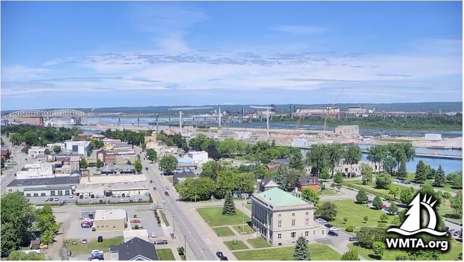
Sault Ste. Marie - 9&10 News
Michigan, United States — 0.5 km
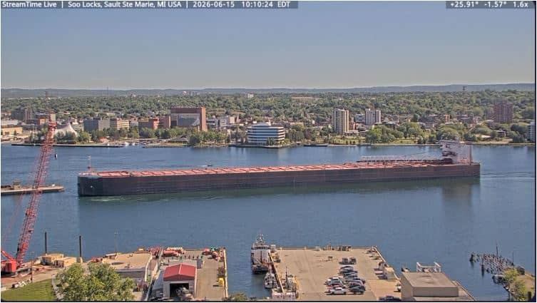
Sault Sainte Marie - Soo Locks
🇨🇦 Ontario · Canada — Altitude 208 m
This live camera looks toward the Soo Locks on the St. Marys River, where ships pass between Lake Superior and the lower Great Lakes. Watch for passing freighters and check the local conditions before you plan a trip to the riverfront.
Sault Sainte Marie sits on the St. Marys River at the eastern end of Lake Superior, on the border between Ontario and Michigan. The twin cities share a long history as a fur trading and shipping centre. The Soo Locks, built to bypass the rapids, are among the busiest lock systems in the world, and they are the reason the town has such a strong maritime character. The surrounding landscape is a mix of forest, water and rocky shoreline typical of northern Ontario.
The view is centred on the shipping traffic moving through the river and the lock area. Activity depends on the season, since navigation is limited when the lakes freeze in winter. Late spring through autumn usually brings the most vessel movements, and early morning or evening light can make the water and passing ships easier to see. Weather affects visibility, so the live conditions on this page are worth checking alongside the picture.
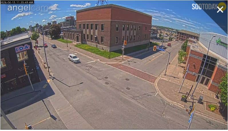
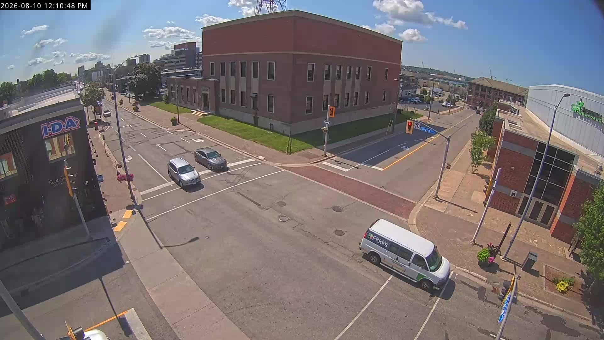
The area has a cold, snowy winter and mild summers, so the warmest and most navigable period runs from June to September. The town is compact, and the riverfront is easy to reach on foot. Nearby VizCams feeds include a downtown view at Queen and Bruce streets and a Michigan-side view of the Soo Locks, which together give a good sense of the twin cities.
Source: Sault Sainte Marie Webcam
Michigan, United States — 0.5 km
Michigan, United States — 0.9 km

Michigan, United States — 1.4 km
Ontario, Canada — 1.6 km
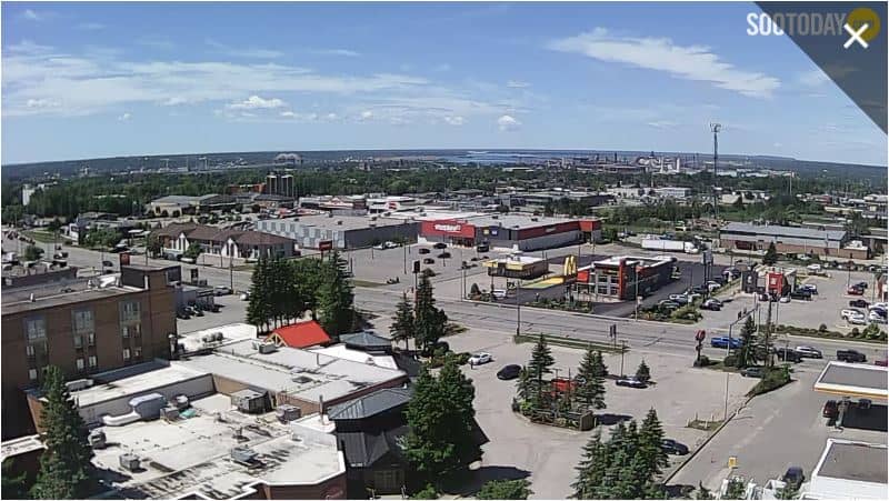
Michigan, United States — 4.7 km
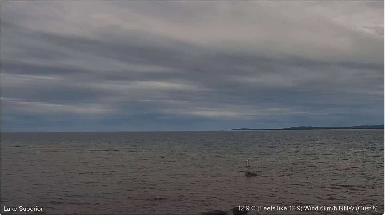
Ontario, Canada — 52 km
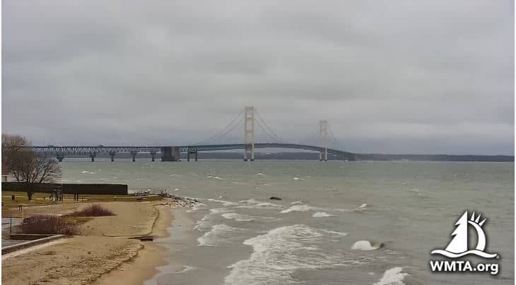
Michigan, United States — 85 km
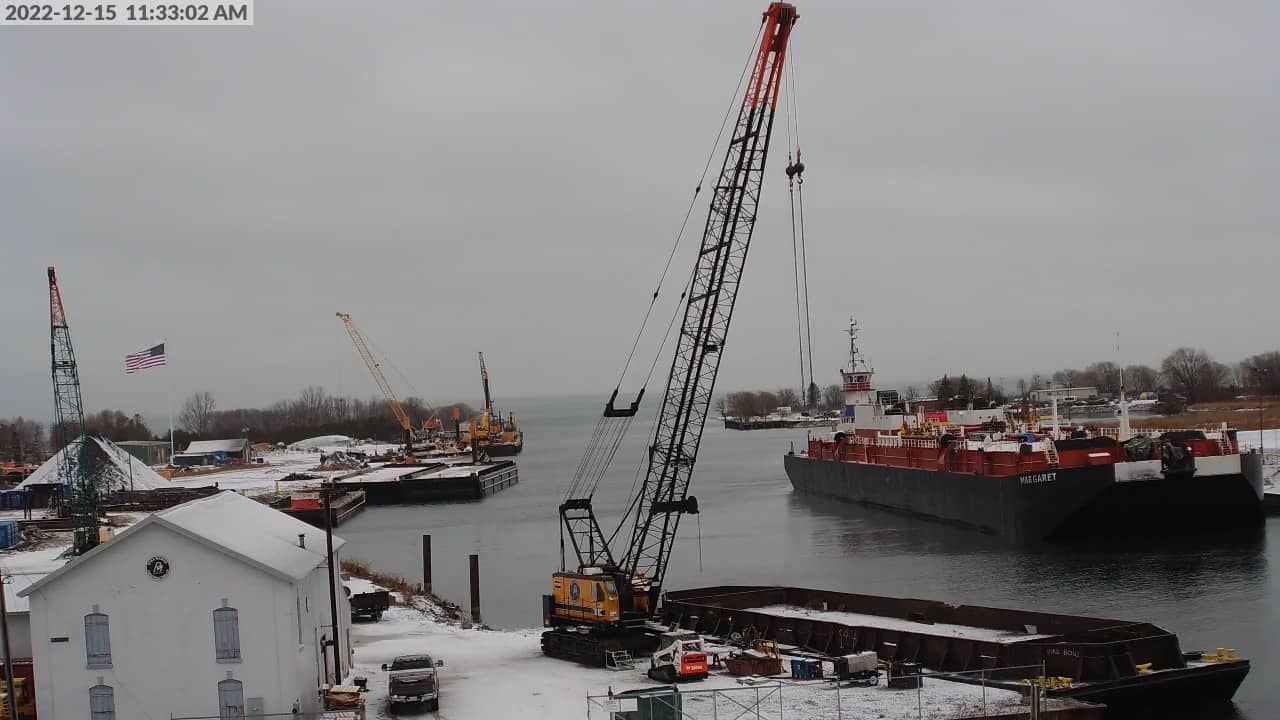
Michigan, United States — 94 km
Ontario, Canada — 118 km
Michigan, United States — 122 km
Current conditions and a three-day forecast are shown in the live block on this page. They update regularly, so check them before you plan to watch or visit the riverfront.
The local time is displayed on this page and follows Eastern Time. It is shown in real time so you can see whether the locks are in daylight hours.
The camera is located at the Soo Locks area on the St. Marys River, at about 46.50 degrees north and 84.34 degrees west. A map on the page shows its position relative to the town.
Shipping is most active from late spring to autumn, when the lakes are open. Daylight hours give the clearest view, and the weather block helps you judge visibility.
Partner links: we may earn a commission at no extra cost to you.