
São Roque - Catarina Aeroporto Executivo - Sudoeste
São Paulo, Brazil — 0.1 km

São Roque - Catarina Aeroporto Executivo - Sudeste
🇧🇷 São Paulo · Brazil — Altitude 751 m
This live stream looks over Catarina Executive Airport in São Roque, a small aviation hub in the hills west of São Paulo. It is useful for anyone wanting to check the sky and runway conditions before a flight or simply to see how the weather is developing over the Brazilian interior. The picture updates in real time through the source's own player.
São Roque is a town in the state of São Paulo, roughly an hour's drive west of the metropolis, known for its wine production and its historic centre. The airport sits at about 750 metres above sea level, on rolling terrain covered with farmland, eucalyptus and patches of Atlantic forest. The elevation gives the area a milder climate than the coastal lowlands, with noticeably cooler evenings.
The title names the executive airport, so the view is most likely centred on the apron, runway and surrounding terminal buildings, though the exact framing is for the source to define. Clear mornings are usually the best time to watch, when visibility is high and low cloud has not yet formed. Afternoons in the rainy season often bring convective storms that build quickly over the hills, which can be interesting to follow.
The wet season runs from roughly October to March with heavy afternoon showers, while the drier months from May to August are the most pleasant for visiting. São Roque is reached by road from São Paulo in about an hour. Other cameras in the area include a second view of the same airport, and resort views in Itu and Sorocaba a short drive away.
Source: climaaovivo.com.br
São Paulo, Brazil — 0.1 km

São Paulo, Brazil — 19 km

São Paulo, Brazil — 19 km
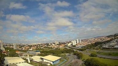
São Paulo, Brazil — 28 km

São Paulo, Brazil — 31 km
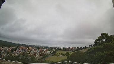
São Paulo, Brazil — 31 km
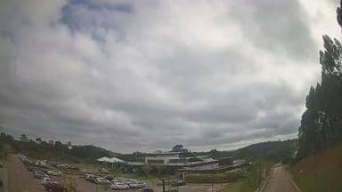
São Paulo, Brazil — 38 km
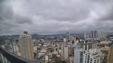
São Paulo, Brazil — 42 km

São Paulo, Brazil — 52 km
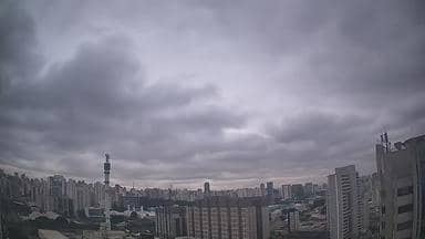
São Paulo, Brazil — 53 km
The current conditions and a three-day forecast are shown in the live weather block on this page. They update automatically, so you can check them alongside the camera view.
The local time is displayed on this page and follows the time in the São Paulo region of Brazil. It updates continuously so you can match it to what the camera is showing.
The camera is at the Catarina Executive Airport in São Roque, São Paulo state, Brazil, at about 750 metres altitude. The map on this page shows its precise position and the nearby cameras.
Clear mornings tend to give the sharpest views, while afternoons in the wet season can bring dramatic storm clouds over the hills. The weather block helps you decide when to check in.
Partner links: we may earn a commission at no extra cost to you.