
São Paulo - Novotel Morumbi - Leste
São Paulo, Brazil — 4.3 km

São Paulo - Slaviero Slim Congonhas - Leste
🇧🇷 São Paulo · Brazil — Altitude 783 m
This live stream looks east from the Slaviero Slim Congonhas hotel area in São Paulo, close to Congonhas airport in the south of the city. It suits anyone wanting a real-time look at one of Brazil's busiest urban districts before a trip or a flight.
São Paulo is the largest city in Brazil and one of the biggest urban areas in the world, known for its business life, museums, food scene and sprawling skyline. The Congonhas district sits on a plateau at roughly 780 metres above sea level, so the city's towers and the surrounding hills are often visible from higher points. Its airport is among the country's most used domestic airports, which gives the neighbourhood a steady flow of traffic and visitors.
The view is an urban one, so the most useful moments are usually daytime, when traffic and street activity are at their height and the buildings are clearly lit. Clear mornings and late afternoons often give the best visibility over the city, while heavy rain or haze can reduce what you see. Because the picture is a live stream from the source, quality and availability depend on its owner.
São Paulo has a subtropical climate with warm, humid summers and milder, drier winters, so the cooler months from roughly June to August are often the most comfortable for sightseeing. The Morumbi area lies a few kilometres away and is listed here as a nearby camera, and the city's other Paulista cameras give a wider view of the main avenues. Check the live weather and local time blocks on this page before planning your day.
Source: climaaovivo.com.br
São Paulo, Brazil — 4.3 km
São Paulo, Brazil — 6.8 km
São Paulo, Brazil — 6.8 km
São Paulo, Brazil — 6.9 km
São Paulo, Brazil — 7.1 km
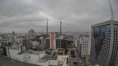
São Paulo, Brazil — 7.2 km
São Paulo, Brazil — 8.5 km
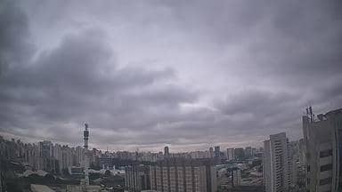
São Paulo, Brazil — 11 km
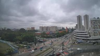
São Paulo, Brazil — 11 km
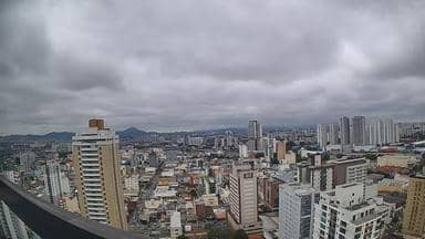
São Paulo, Brazil — 15 km
The current conditions and a three-day forecast for this location are shown in the live weather block on this page. They update automatically, so you can check them before you watch the stream.
The local time for São Paulo is displayed live on this page. It follows the city's own clock, so you can compare it with your time zone without any calculation.
The camera is in the Congonhas district of southern São Paulo, near the airport, at an elevation of about 780 metres. A map on this page marks its position among nearby cameras.
Daytime and clear mornings or late afternoons usually offer the best visibility of the city. Rain or haze may reduce the view, so check the live weather before watching.
Partner links: we may earn a commission at no extra cost to you.