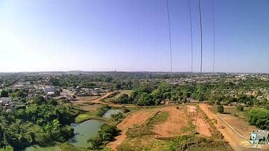
Alta Floresta - Torre da Wavemax Internet - Sudeste
Mato Grosso, Brazil — 46 km

Paranaíta - Torre da Wavemax Internet - Norte
🇧🇷 Mato Grosso · Brazil — Altitude 300 m
This live stream looks out from a telecom tower in Paranaíta, a small municipality in northern Mato Grosso. It is a useful window for anyone curious about everyday life in this part of the Amazon edge, or for checking conditions before travelling to the area.
Paranaíta lies in the north of the state of Mato Grosso, in the transition zone between cerrado savannah and Amazonian forest. The region is known for timber, cattle farming and its role as a gateway to the Teles Pires river and the wider northern frontier. The town itself is modest in size, with a landscape of cleared pasture, forest patches and river valleys.
The camera is mounted on a communications tower, so the view is mainly of the surrounding town and open land rather than a single attraction. Depending on the angle, you may see rooftops, roads, vegetation and the sky. Views are most readable in the morning and late afternoon, when light is softer. The dry season, roughly June to September, usually gives clearer air, while the wet season brings build-up clouds and frequent rain.
The climate is tropical, hot and humid for most of the year, with a clear dry season and a rainy season from about November to April. Paranaíta is reached by regional roads, and Alta Floresta, about 46 km away, is the closest larger town and a practical base. Nearby cameras in Carlinda and Nova Bandeirantes show other parts of the same northern Mato Grosso region.
Live weather conditions can change quickly in this region, especially during the storm season. Use the local weather block on this page to see current conditions and the forecast for the next three days before planning outdoor activities or travel on unpaved roads.
Source: climaaovivo.com.br
Mato Grosso, Brazil — 46 km
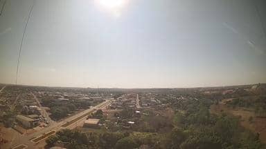
Mato Grosso, Brazil — 77 km

Mato Grosso, Brazil — 149 km
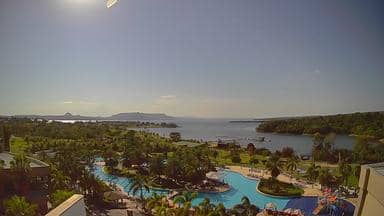
Mato Grosso, Brazil — 590 km

Mato Grosso, Brazil — 658 km

Mato Grosso, Brazil — 692 km
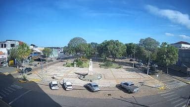
Mato Grosso, Brazil — 722 km

Rondônia, Brazil — 823 km
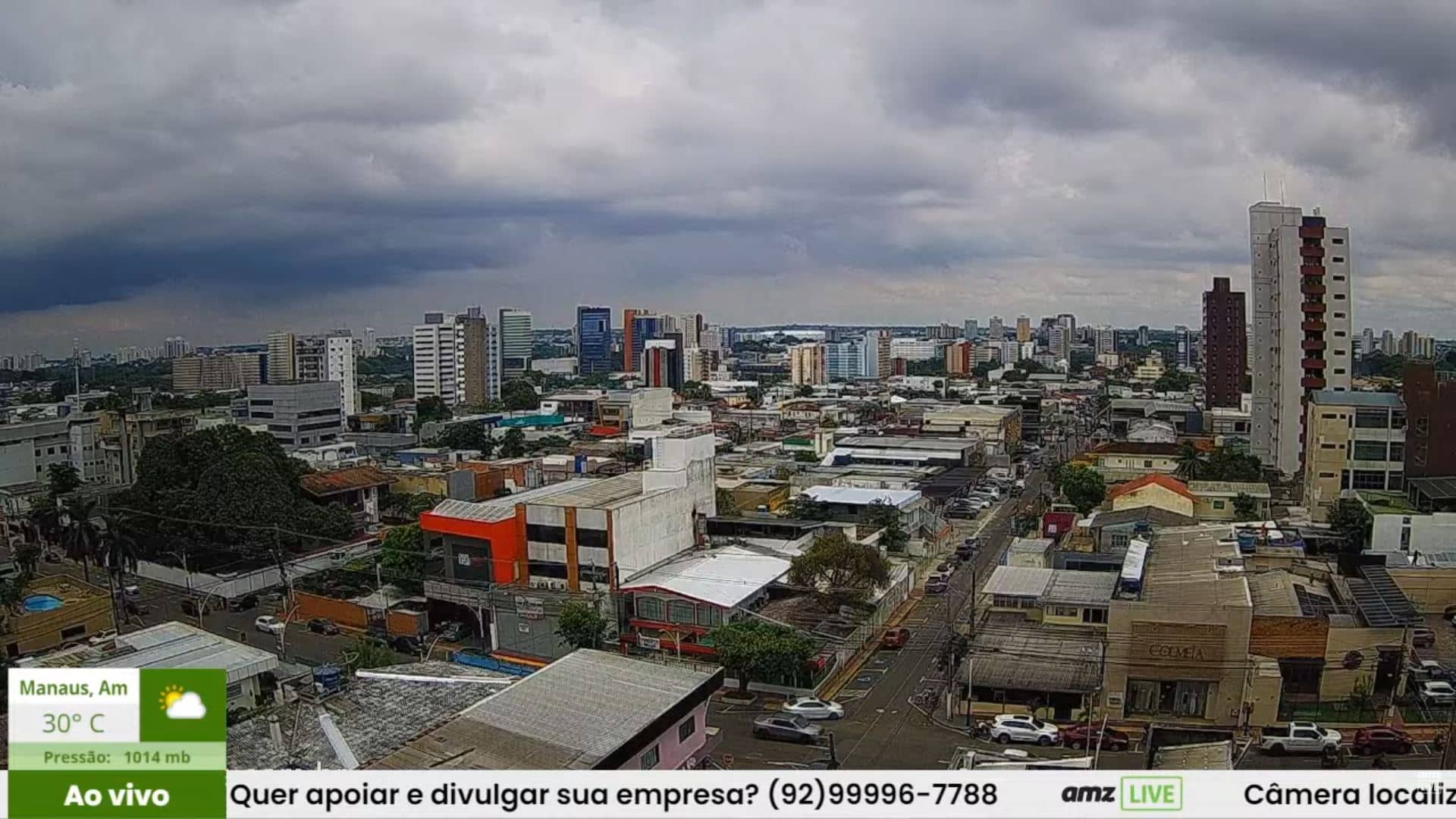
Amazonas, Brazil — 831 km
Pará, Brazil — 948 km
The current weather and a three-day forecast for Paranaíta are shown in the live weather block on this page, updated automatically from current data.
The local time for Paranaíta appears on this page in the live time block. Mato Grosso does not observe daylight saving time, so the clock stays constant through the year.
The camera is on a telecom tower in Paranaíta, in northern Mato Grosso, Brazil. The map on this page marks its position, and the stream is provided by its owner.
Morning and late afternoon usually give the most readable light. The dry season from June to September tends to offer clearer skies, though conditions vary from day to day.
Partner links: we may earn a commission at no extra cost to you.