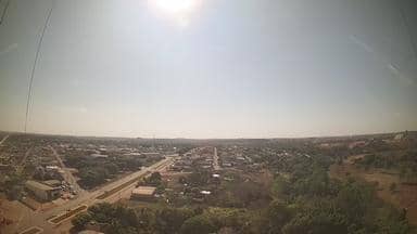
Carlinda - Torre da Wavemax Internet - Nordeste
Mato Grosso, Brazil — 31 km
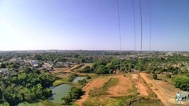
Alta Floresta - Torre da Wavemax Internet - Sudeste
🇧🇷 Mato Grosso · Brazil — Altitude 287 m
This live stream is mounted on a telecom tower in Alta Floresta, a town in the forested north of Mato Grosso, Brazil. It gives a current view of the town and its surroundings, useful for checking conditions before travelling here. The page also shows local time and the weather outlook.
Alta Floresta sits in the Amazon transition zone of northern Mato Grosso, at roughly 290 metres above sea level. The town grew out of timber and gold activity and is now a service centre for the surrounding farmland and forest edges. Its landscape mixes cleared pasture with remaining patches of tropical forest, and the rivers in the region are a common feature of the scenery.
The camera is listed under a telecom tower, so the view is most likely an elevated look over rooftops, streets and the tree line, though the exact frame depends on the view at any moment. Daylight hours give the clearest picture. Late afternoon often brings towering clouds that build over the land, and the sky changes quickly in the wet season, so the view can shift from bright to hazy within an hour.
The region has a tropical climate with a distinct wet season from roughly November to April and a drier stretch from June to September, when the air is cooler and visibility is usually better. Nearby cameras cover Carlinda, Paranaíta and Nova Bandeirantes, which can help you compare conditions across a wider area of northern Mato Grosso.
Source: climaaovivo.com.br
Mato Grosso, Brazil — 31 km

Mato Grosso, Brazil — 46 km

Mato Grosso, Brazil — 190 km
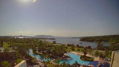
Mato Grosso, Brazil — 568 km

Mato Grosso, Brazil — 638 km

Mato Grosso, Brazil — 696 km
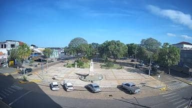
Mato Grosso, Brazil — 713 km

Rondônia, Brazil — 867 km
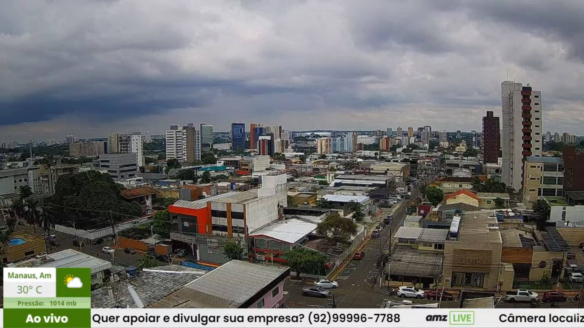
Amazonas, Brazil — 868 km
Pará, Brazil — 921 km
The current conditions and a three-day forecast are shown on this page, updated alongside the live stream. Check them before planning outdoor activities, since rain can arrive suddenly in the wet season.
The local time is displayed on this page and follows the time zone used in Mato Grosso, which is different from Brasília time in some months. Use the clock on the page rather than your device's default.
The camera is mounted on a telecom tower in the town of Alta Floresta, in the state of Mato Grosso, Brazil. The map on this page shows its position, and the nearby cameras are listed below.
Daytime hours are best for seeing detail, and late afternoon is often when clouds build. The dry months from June to September usually give the clearest views.
Partner links: we may earn a commission at no extra cost to you.