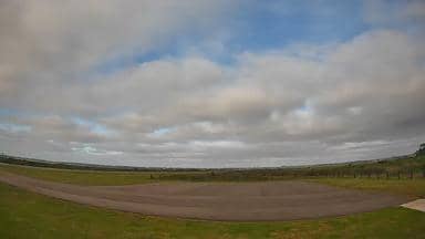
Maldonado - Aeroporto Las Piedras - Sudoeste
Maranhão, Brazil — 0 km
Maldonado - Aeroporto Las Piedras - Sudeste
🇧🇷 Maranhão · Brazil — Altitude 10 m
This live stream looks out over Las Piedras Airport on the edge of Maldonado, the coastal city in eastern Uruguay. It is useful for anyone checking the airfield before a flight, following conditions on the Atlantic-facing plains, or simply curious what the apron looks like right now.
Maldonado lies in the Uruguayan department of the same name, a short distance inland from the Atlantic coast and close to Punta del Este. The region is known for its sandy beaches, lagoons and gently rolling countryside. Las Piedras Airport serves the area with general aviation and regional traffic, and it sits in flat terrain where the wind and open sky shape the feel of the place.
The stream is labelled as the southeast view, so it covers the runway side and surrounding grass and fields rather than the terminal front. Because the airfield is open and flat, changes in cloud, rain and wind are easy to see. Early morning and late afternoon usually give the clearest light, and the view is most informative on days when the forecast shows changing weather.
Uruguay has a temperate climate, with mild winters and warm summers, and the coast is most comfortable from December to March. Other cameras at the same airport cover the southwest, northeast and northwest directions, so you can compare angles. Montevideo, the capital, lies about 118 km to the west and is reachable by road in roughly two hours.
Source: climaaovivo.com.br
Maranhão, Brazil — 0 km

Maranhão, Brazil — 0 km
Maranhão, Brazil — 0.1 km
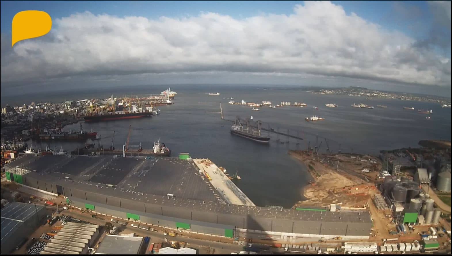
Montevideo, Uruguay — 118 km
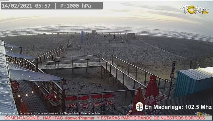
Buenos Aires, Argentina — 307 km
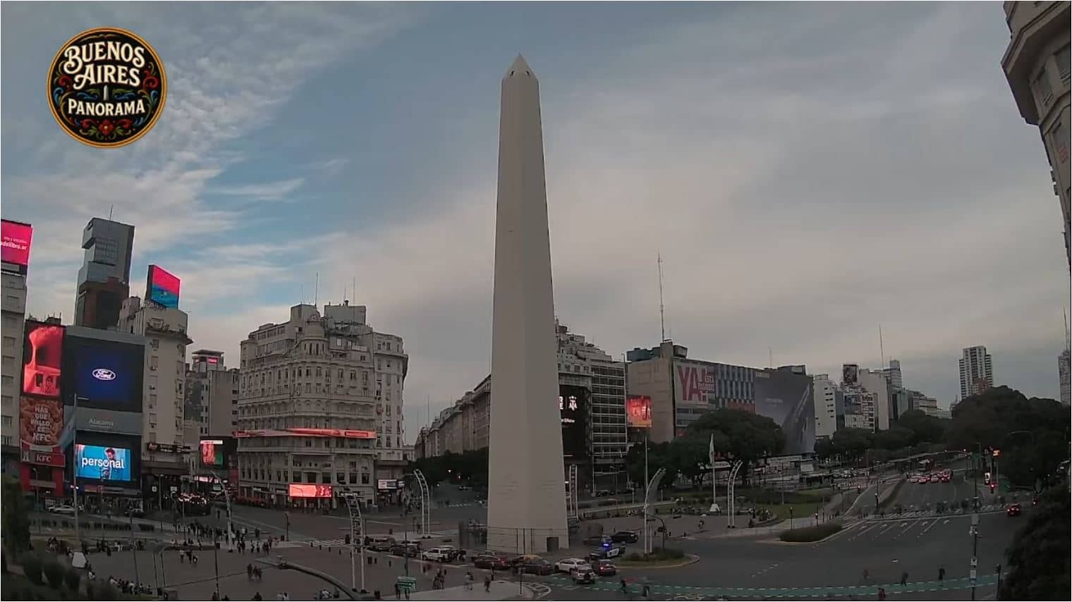
Buenos Aires, Argentina — 319 km
Autonomous City of Buenos Aires, Argentina — 319 km
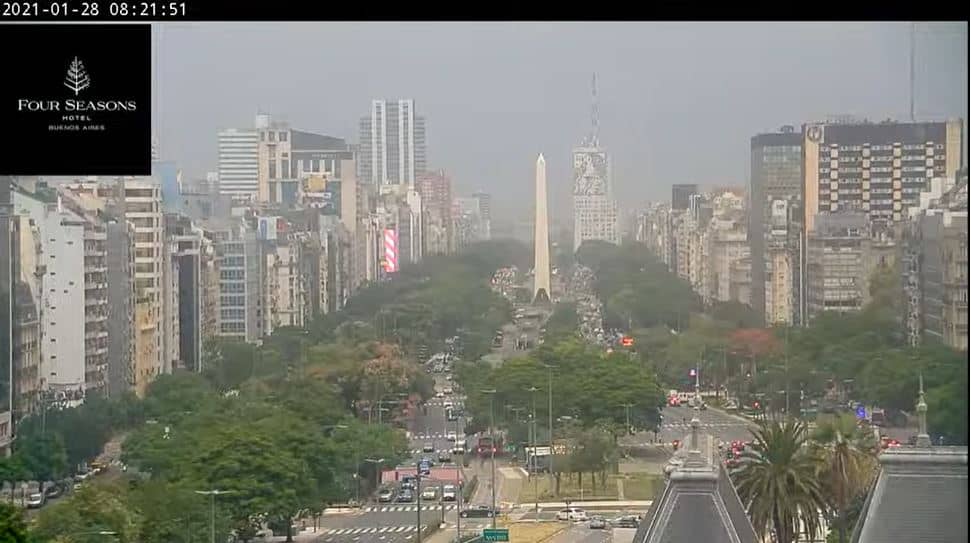
Buenos Aires, Argentina — 319 km
Entre Ríos, Argentina — 420 km
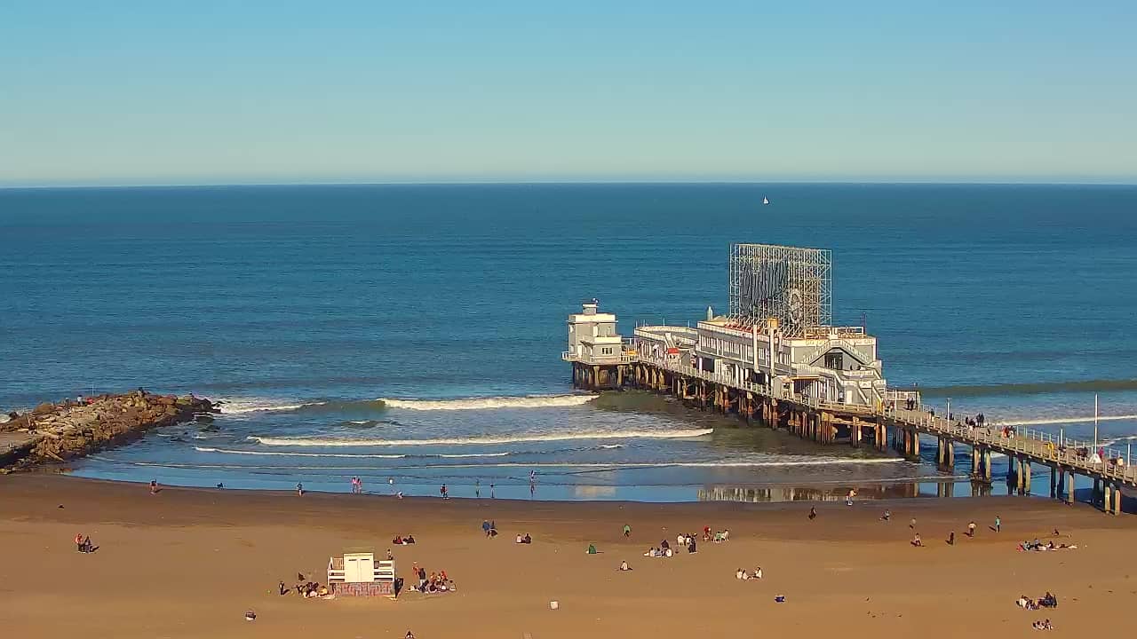
Buenos Aires, Argentina — 421 km
The current conditions and a three-day forecast for Maldonado are shown in the live weather block on this page, updated automatically.
The local time for Maldonado is displayed on this page and follows Uruguay's time zone, so it updates without any manual change.
The camera is at Las Piedras Airport near the city of Maldonado in Uruguay, at about 10 metres above sea level, and the map on the page marks its position.
Early morning and late afternoon tend to offer the clearest light, and days with changing weather make the view most interesting.
Partner links: we may earn a commission at no extra cost to you.