Maldonado - Aeroporto Las Piedras - Noroeste
Maranhão, Brazil — 0 km

Maldonado - Aeroporto Las Piedras - Nordeste
🇧🇷 Maranhão · Brazil — Altitude 10 m
This live camera looks out over Las Piedras Airport, which serves the Maldonado area on Uruguay's Atlantic coast. It is useful for anyone who wants to see the sky, the weather and the activity around a regional airfield before a flight or a visit. The page adds local time and forecasts so you can judge the conditions at a glance.
Maldonado is a department capital in southern Uruguay, a short drive from Punta del Este and the Atlantic beaches. The area is flat to gently rolling, with farmland, pine plantations and lagoons close by. Las Piedras Airport lies just outside the city and handles mainly light and general aviation, so the surroundings are quiet and open. The camera is one of several views of the field, taken from the northeast side.
Because the title names an airport, the view most likely covers runway space, aprons and the sky above the field. Depending on the angle, you may see aircraft movements, wind effects on the windsock and changing cloud cover. Early morning and late afternoon usually bring the softest light and the clearest contrast. Weather changes quickly on this coast, so fog or rain can appear with little notice.
The region has a humid subtropical climate with mild winters and warm summers, and autumn and spring are generally the most comfortable seasons for a visit. Maldonado is reached by road from Montevideo, about two hours away, or from Punta del Este in under an hour. Other cameras at the same airport cover the northwest, southeast and southwest, and Montevideo's view is also available for comparison.
Source: climaaovivo.com.br
Maranhão, Brazil — 0 km
Maranhão, Brazil — 0 km
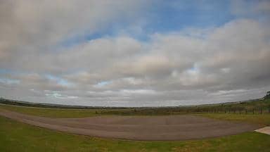
Maranhão, Brazil — 0 km
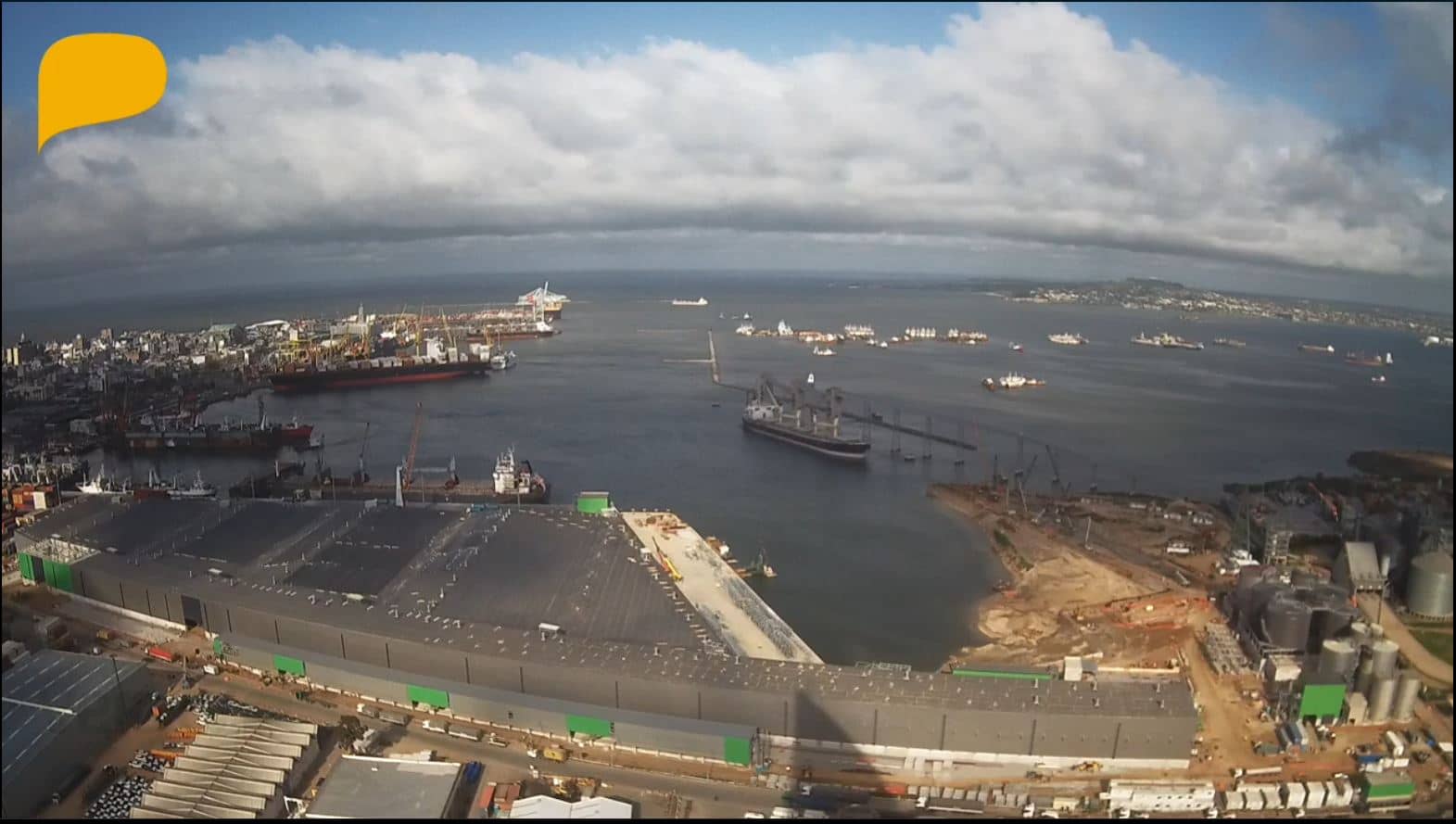
Montevideo, Uruguay — 118 km
Buenos Aires, Argentina — 307 km
Buenos Aires, Argentina — 319 km
Autonomous City of Buenos Aires, Argentina — 319 km
Buenos Aires, Argentina — 319 km
Entre Ríos, Argentina — 420 km
Buenos Aires, Argentina — 421 km
The current conditions and a 3-day forecast for Maldonado are shown in the weather block on this page. They update with the page, so you can check temperature, wind and cloud cover before watching the camera.
The local time for Maldonado is displayed on this page and follows Uruguay's time zone. It is shown next to the live video so you can match what you see with the current hour.
The camera is at Las Piedras Airport, just outside Maldonado in southern Uruguay, facing northeast. The map on this page shows its position, and the nearby cameras cover the other directions of the same airfield.
Early morning and late afternoon usually give the clearest light and the most visible sky detail. Watching during fair weather is generally more rewarding, since cloud and fog can hide much of the view.
Partner links: we may earn a commission at no extra cost to you.