
Imperatriz - Bairro Planalto - Júpiter Telecom - Oeste
Maranhão, Brazil — 1.8 km

Imperatriz - Bairro Imigrantes - Júpiter Telecom - Sul
🇧🇷 Maranhão · Brazil — Altitude 167 m
This live stream looks out over the Imigrantes district of Imperatriz, a city on the Tocantins River in the southwest of Maranhão. It is a simple way to check how the city looks and feels right now, before deciding on a trip or a call. The page also shows local conditions and the time in the city.
Imperatriz is the second largest city in Maranhão and sits where the Tocantins River forms the border with Tocantins state. It grew as a trading and transport hub at the edge of the Amazon region, with the Belém–Brasília corridor shaping its economy. The landscape is mostly flat to gently rolling, with cerrado savanna and patches of forest around the urban area. Its atmosphere is busy and commercial, with a mix of migrants and long-established families.
The title refers to the Imigrantes neighbourhood, so the view is most likely of residential streets and the rooftops and traffic typical of a Brazilian city. Depending on the angle, you may see tree cover, mid-rise buildings and roads. Mornings and late afternoons are usually the most pleasant times to watch, when light is softer and activity is higher. Heavy rain in the wet season can reduce visibility, so check the live weather block.
Imperatriz has a hot tropical climate, with temperatures often above 30 °C during the day. The rainy season runs roughly from late autumn to spring, while the drier months from June to September are generally more comfortable for visiting. The city is reached by road and by air through its regional airport. Another camera from the same operator is about 2 km away in the Planalto neighbourhood, and others cover Açailândia and Marabá.
Source: climaaovivo.com.br
Maranhão, Brazil — 1.8 km

Maranhão, Brazil — 58 km

Pará, Brazil — 177 km

Pará, Brazil — 461 km
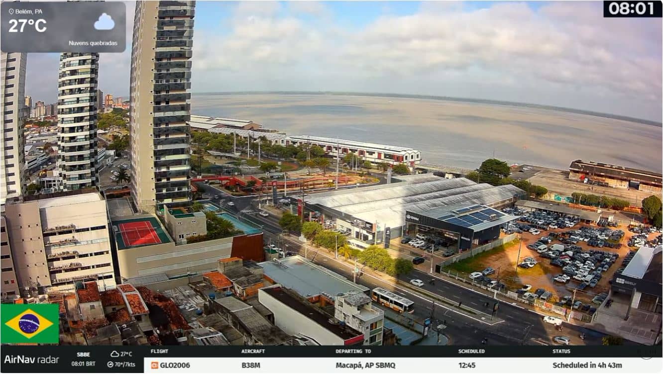
Pará, Brazil — 462 km

Maranhão, Brazil — 482 km
Amapá, Brazil — 730 km

Pernambuco, Brazil — 805 km

Pernambuco, Brazil — 859 km
Pernambuco, Brazil — 885 km
The live weather block on this page shows current conditions in Imperatriz and a three-day forecast. It updates with the page, so you can check temperature, rain and wind before watching the stream.
The local time for Imperatriz is shown on the page. The city does not follow daylight saving time, so its clock stays the same throughout the year.
The camera is in the Imigrantes neighbourhood of Imperatriz, in the Maranhão region of Brazil, at roughly 167 metres above sea level. The map on the page marks its position.
Early morning and late afternoon usually give the clearest light and the most street activity. In the rainy season, check the weather first, since cloud and rain can limit what you see.
Partner links: we may earn a commission at no extra cost to you.