
Imperatriz - Bairro Imigrantes - Júpiter Telecom - Sul
Maranhão, Brazil — 58 km

Açailândia - Torre da Júpiter Telecom - Nordeste
🇧🇷 Maranhão · Brazil — Altitude 272 m
This live camera looks out from a telecom tower in Açailândia, a municipality in the interior of Maranhão in northeastern Brazil. It is a useful window for checking conditions across this part of the Amazon transition zone, where the view changes with cloud cover, haze and the time of day. Local time and current weather are shown beside the stream.
Açailândia sits in the western interior of Maranhão, at roughly 270 metres above sea level, in a region shaped by farming, cattle and timber. The town grew along the rail and road corridors that cross the state and serves as a regional commercial hub. Its landscape is largely flat to gently rolling, with patches of forest and cleared pasture, typical of the edge of the Amazon basin.
The camera is mounted on a telecommunications tower, so its view is best suited to watching the sky, the surrounding land and weather developing over the region. Depending on the framing, you may see afternoon cumulus build up, storms moving in from the horizon, or the early morning mist lifting off the lowlands. The most rewarding times are usually late afternoon, when the light is warm and storms are most likely, and early morning, before the heat sets in.
The climate is hot and humid year-round, with a rainy season that generally runs from late in the year into the middle of the next, and a drier period in the middle of the year. Daytime temperatures are high throughout. Imperatriz, a larger city with its own camera nearby, lies about 58 km away and is a common reference point for travellers passing through the area.
Source: climaaovivo.com.br
Maranhão, Brazil — 58 km
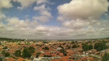
Maranhão, Brazil — 60 km
Pará, Brazil — 179 km
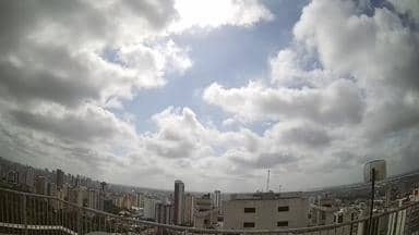
Pará, Brazil — 404 km
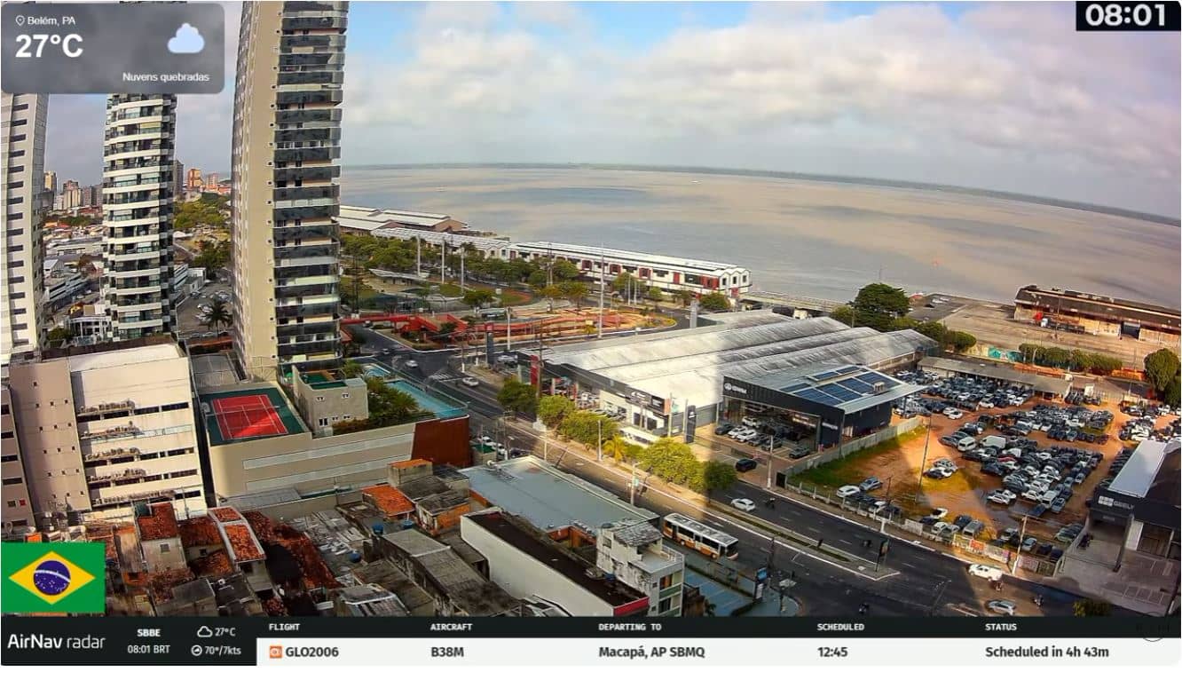
Pará, Brazil — 405 km

Maranhão, Brazil — 447 km
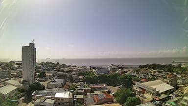
Amapá, Brazil — 681 km
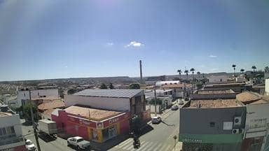
Pernambuco, Brazil — 826 km

Pernambuco, Brazil — 881 km
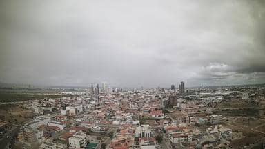
Pernambuco, Brazil — 918 km
Current conditions and a three-day forecast for Açailândia are shown in the weather block on this page. The values update automatically, so you can check them alongside the live view.
The local time for Açailândia is displayed on this page and follows the local clock for this part of Brazil. The live block shows the current time so you can compare it with the stream.
The camera is mounted on a telecom tower in Açailândia, Maranhão, at about 272 metres altitude. The map on this page marks its position and shows its location within the wider region.
Late afternoon is often the most interesting period, when storms and cloud build over the region. Early morning can also be useful for seeing mist and clearer skies before the heat of the day.
Partner links: we may earn a commission at no extra cost to you.