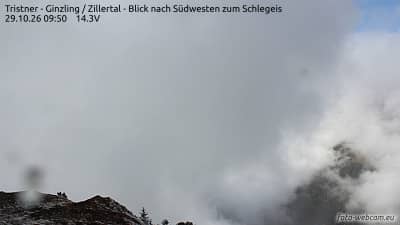
Ginzling - Tristner - Zillertal - vue vers le sud-ouest sur le Schlegeis
Tyrol, Austria — 1.6 km

Mayrhofen im Zillertal - Bergsteigerdorf Ginzling
🇦🇹 Tyrol · Austria — Altitude 988 m
This live view looks out over the Ginzling area of Mayrhofen in the Zillertal valley of Tyrol. It is a useful way to check how the high mountains look before planning a walk or drive up the valley. The page adds local time and weather so you can judge conditions alongside the picture.
Mayrhofen is the main village of the Zillertal, a long Alpine valley in western Tyrol in Austria. Ginzling is a small settlement further up the valley, known as a base for mountain walkers and as the gateway to the Schlegeis reservoir area. The surroundings are steep forested slopes, meadows and high peaks, with the Zillertal Alps rising on either side. The valley has a strong tradition of hiking and climbing, and the atmosphere is quiet and rural beyond the village centre.
The camera is a mountain view, so its main subjects are the slopes, the valley floor and the weather over the peaks. Depending on the view, you may see clouds gathering on the ridges in the afternoon, snow lines changing with the season, or the clear morning light that often comes before cloud builds. Early morning and late afternoon usually give the most contrast on the rock faces, while overcast days can be useful for judging whether higher routes are likely to be clear.
The Zillertal has a continental Alpine climate, with warm summers, cold winters and considerable snow at altitude. Summer is best for hiking and winter for skiing, while late spring and autumn can be quieter but less predictable. Nearby cameras on this site include the view towards the Schlegeis to the south-west, the Tristner view to the south-east, the Ahornbahn at Mayrhofen and the Penkenjoch at Finkenberg, which together help you compare conditions across the valley.
Current weather and a three-day forecast for the valley are shown beside the live player, so you can compare what the camera shows with the forecast. Local time is shown as well, which helps when judging light and planning a visit.
Source: panomax.com
Tyrol, Austria — 1.6 km
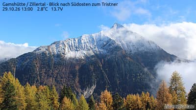
Tyrol, Austria — 3.5 km
Tyrol, Austria — 6.3 km
Tyrol, Austria — 7.8 km
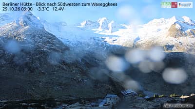
Tyrol, Austria — 8.3 km
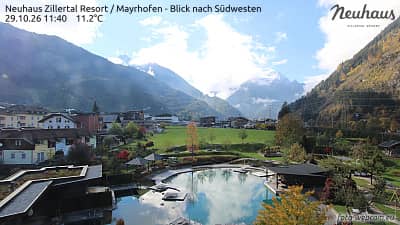
Tyrol, Austria — 8.4 km
Tyrol, Austria — 8.5 km
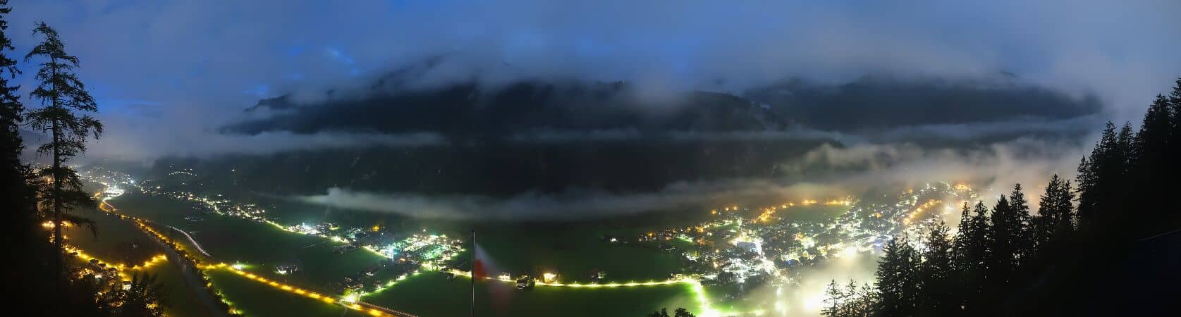
Tyrol, Austria — 9 km
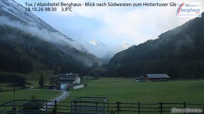
Tyrol, Austria — 9 km

Tyrol, Austria — 9.7 km
The current conditions and a three-day forecast for Mayrhofen in the Zillertal are shown in the weather block on this page, updated alongside the live view.
The local time for Mayrhofen is displayed on this page next to the live camera, so you can see the current time there without converting it yourself.
The camera is in the Ginzling area above Mayrhofen in the Zillertal, Tyrol, Austria, at about 988 metres altitude. The map on the page shows its position.
Early mornings and late afternoons usually give the clearest light on the slopes, while cloud patterns on the peaks change through the day and are worth watching at any time.
Partner links: we may earn a commission at no extra cost to you.