
Ramsau/Dachstein - Dachstein
Styria, Austria — 0.1 km
Schladming - Bergstation Dachstein Hunerkogel
🇦🇹 Styria · Austria
This live camera looks out from the mountain station on the Hunerkogel, above the Styrian town of Schladming in the Austrian Alps. It gives a current picture of the terrain and sky above the valley, which helps when you are deciding whether a trip up the Dachstein area makes sense today.
Schladming is a town in the Enns valley of Styria, known as a ski and winter sports centre and as a base for hiking in the Dachstein massif. The Dachstein is a limestone range rising above glaciers, karst plateaus and alpine meadows, and its peaks are visible from much of the surrounding region. The area is shaped by steep valleys, forests and high pastures, which gives the landscape a strongly alpine character throughout the year.
The view from the station depends on the weather and on the season, so clear mornings often give the most distinct view of peaks and ridges. In winter you may see snow cover and skiers on the slopes, while in summer the focus shifts to green slopes, hikers and the movement of clouds over the summits. Haze, fog and afternoon cloud build-up are common in the mountains, so checking the live image before planning a visit is worthwhile.
The Alpine climate here is cool even in summer, and weather at higher altitudes can change quickly, so bring warm layers and check forecasts before heading into the mountains. Nearby cameras on VizCams include the Dachstein view from Ramsau, the Simonyhütte view over the Hallstatt glacier, and the Rittisberg beach view in Ramsau am Dachstein, which help you compare conditions across the massif.
Compare the live image with the local weather forecast on this page to judge cloud cover and visibility. Remember that a camera shows only a single viewpoint, so conditions a few hundred metres away may differ. Use the local time shown on the page to judge whether the light is good for photos or for planning a day in the mountains.
Source: feratel.com
Styria, Austria — 0.1 km
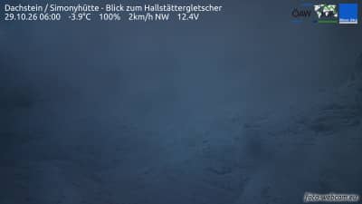
Salzburg, Austria — 3.7 km
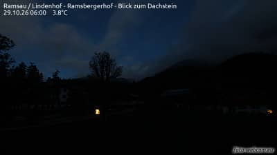
Styria, Austria — 4.7 km

Styria, Austria — 4.9 km

Styria, Austria — 5.4 km
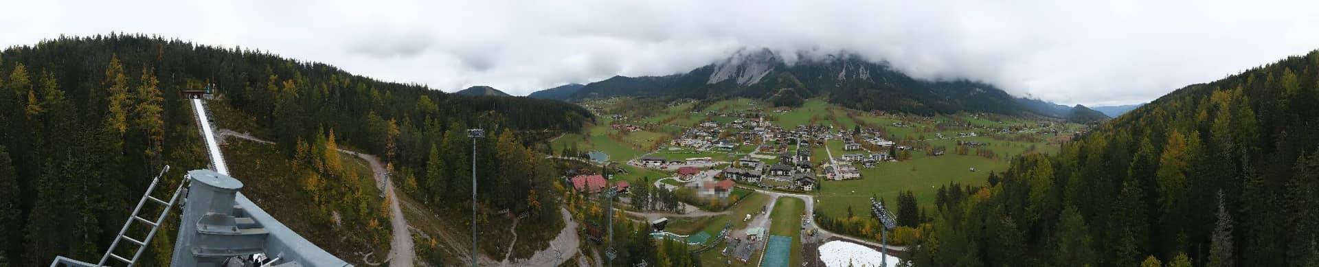
Styria, Austria — 6.1 km
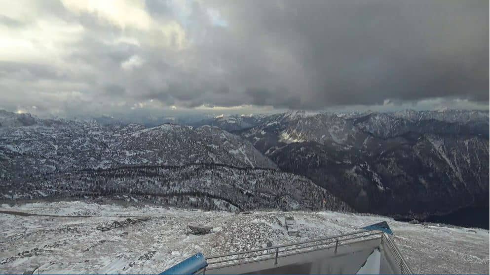
Upper Austria, Austria — 7.9 km
Upper Austria, Austria — 7.9 km
Upper Austria, Austria — 7.9 km
Salzburg, Austria — 8.8 km
The current weather and a three-day forecast for Schladming are shown in the live block on this page. Conditions at the mountain station can differ from the valley, so check both before heading up.
The local time for Schladming is displayed on this page and updates automatically. It follows the Central European time zone used across Austria.
The camera is at the Hunerkogel mountain station in the Dachstein area above Schladming, Styria, Austria. The map on this page marks its position and the surrounding terrain.
Clear mornings and periods after fresh snowfall or rain often give the most distinct view of the peaks. Check the live image and the forecast on this page to pick the best window.
Partner links: we may earn a commission at no extra cost to you.