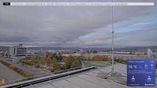
Wiener Neustadt - Wetterpanorama - Wiener Neutadt
Lower Austria, Austria — 3.4 km

Wiener Neustadt - Flugplatz Ost
🇦🇹 Lower Austria · Austria — Altitude 270 m
This camera looks out over the eastern side of the Wiener Neustadt airfield, a flat stretch of open ground south of Vienna. It suits anyone curious about aviation activity, changing skies over the Lower Austrian plain, or simply checking conditions before travelling to the area.
Wiener Neustadt is a city in Lower Austria, roughly 50 kilometres south of Vienna, at the edge of the Steinfeld plain. The city has a long military and industrial history and is known for its aviation links and its historic old town. The surrounding land is mostly open farmland, which gives the skies a wide, uninterrupted reach. The camera sits at about 270 metres above sea level, so the outlook is largely determined by the plain itself and the weather moving across it.
Depending on the view, you may see aircraft taking off and landing, runway and apron activity, and the broad sweep of cloud over the flat landscape. Clear days show the horizon clearly, while low cloud or haze can soften the scene. Early morning and late afternoon often bring the most dramatic light, and the rhythm of activity on the field tends to follow daytime hours. Check the local time shown on the page to see whether the field is in its busier period.
The Steinfeld area has a continental climate with warm summers and cold, often dry winters, and spring and autumn are generally pleasant for visiting. Wiener Neustadt is easy to reach by train from Vienna. Nearby cameras on this page cover the city weather panorama, the Forchtenstein area and views towards the Bucklige Welt hills, which are useful if you want a wider picture of the region's conditions.
Source: panomax.com
Lower Austria, Austria — 3.4 km
Burgenland, Austria — 16 km
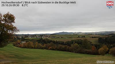
Lower Austria, Austria — 19 km
Burgenland, Austria — 19 km
Burgenland, Austria — 20 km
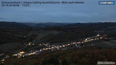
Lower Austria, Austria — 24 km
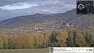
Lower Austria, Austria — 33 km

Lower Austria, Austria — 33 km
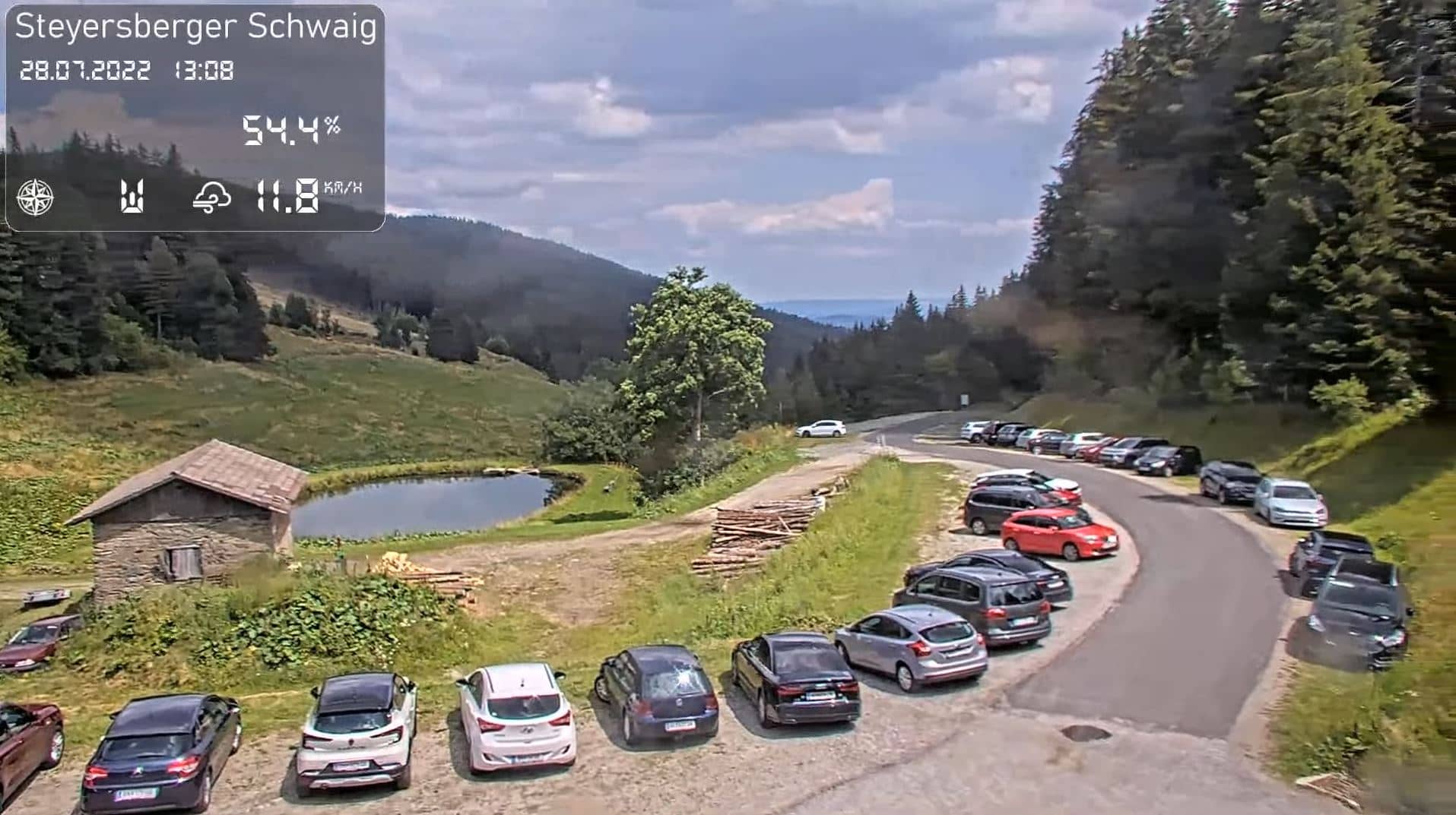
Lower Austria, Austria — 33 km
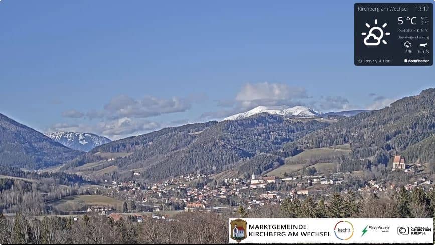
Lower Austria, Austria — 34 km
The current conditions and a three-day forecast for Wiener Neustadt are shown in the live weather block on this page. They update alongside the camera view.
The local time for Wiener Neustadt is displayed on this page, following Austrian local time, so you can check it before watching the live view.
The camera is on the eastern side of the Wiener Neustadt airfield in Lower Austria, at about 270 metres above sea level. The map on this page shows its exact position.
Daylight hours give the clearest view, and early morning or late afternoon usually bring the best light. Clear weather is the best condition for seeing the far horizon.
Partner links: we may earn a commission at no extra cost to you.